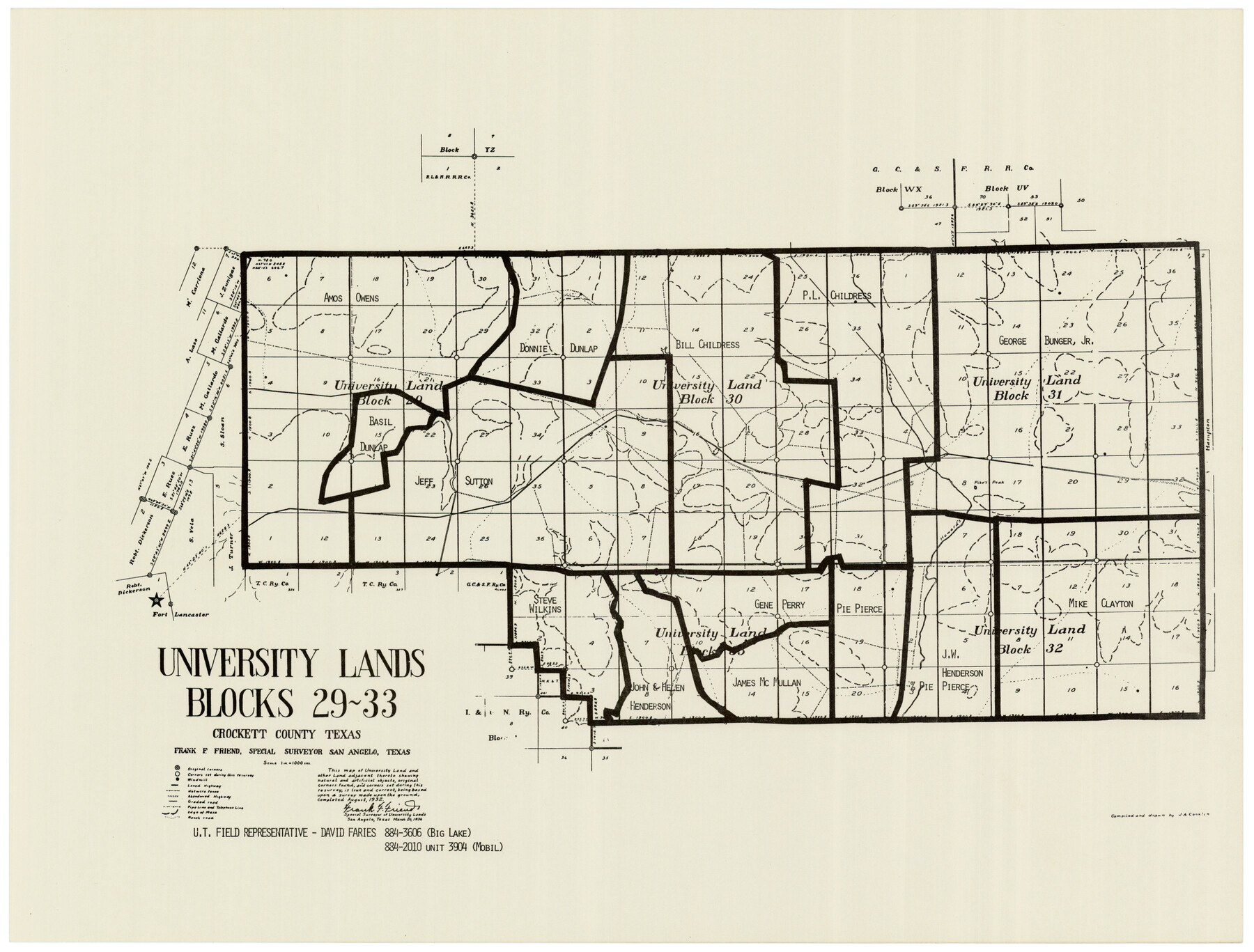
University of Texas System University Lands
-
Map/Doc
93239
-
Collection
Twichell Survey Records
-
Object Dates
3/20/1936 (Creation Date)
-
People and Organizations
Frank F. Friend (Surveyor/Engineer)
J.A. Conklin (Compiler)
J.A. Conklin (Draftsman)
-
Counties
Crockett
-
Height x Width
23.1 x 17.5 inches
58.7 x 44.5 cm
-
Comments
See counters 93235-93251 for the full set of University Lands maps.
Related maps
University of Texas System University Lands

Print $20.00
- Digital $50.00
University of Texas System University Lands
Size 23.2 x 17.6 inches
Map/Doc 93235
University of Texas System University Lands

Print $20.00
- Digital $50.00
University of Texas System University Lands
1936
Size 23.2 x 17.6 inches
Map/Doc 93236
University of Texas System University Lands

Print $20.00
- Digital $50.00
University of Texas System University Lands
1937
Size 23.3 x 17.6 inches
Map/Doc 93237
University of Texas System University Lands

Print $20.00
- Digital $50.00
University of Texas System University Lands
Size 23.1 x 17.5 inches
Map/Doc 93238
University of Texas System University Lands

Print $20.00
- Digital $50.00
University of Texas System University Lands
Size 23.0 x 17.5 inches
Map/Doc 93240
University of Texas System University Lands

Print $20.00
- Digital $50.00
University of Texas System University Lands
1931
Size 23.2 x 17.5 inches
Map/Doc 93241
University of Texas System University Lands

Print $20.00
- Digital $50.00
University of Texas System University Lands
Size 17.7 x 23.2 inches
Map/Doc 93242
University of Texas System University Lands

Print $20.00
- Digital $50.00
University of Texas System University Lands
1938
Size 23.4 x 17.9 inches
Map/Doc 93243
University of Texas System University Lands

Print $20.00
- Digital $50.00
University of Texas System University Lands
Size 17.9 x 23.3 inches
Map/Doc 93244
University of Texas System University Lands

Print $20.00
- Digital $50.00
University of Texas System University Lands
Size 17.8 x 23.4 inches
Map/Doc 93245
University of Texas System University Lands

Print $20.00
- Digital $50.00
University of Texas System University Lands
1929
Size 23.2 x 17.7 inches
Map/Doc 93246
University of Texas System University Lands

Print $20.00
- Digital $50.00
University of Texas System University Lands
1938
Size 17.8 x 23.4 inches
Map/Doc 93247
University of Texas System University Lands

Print $20.00
- Digital $50.00
University of Texas System University Lands
1933
Size 23.0 x 17.7 inches
Map/Doc 93248
University of Texas System University Lands

Print $20.00
- Digital $50.00
University of Texas System University Lands
1938
Size 17.9 x 23.5 inches
Map/Doc 93249
University of Texas System University Lands

Print $20.00
- Digital $50.00
University of Texas System University Lands
1972
Size 23.2 x 17.9 inches
Map/Doc 93250
University of Texas System University Lands

Print $20.00
- Digital $50.00
University of Texas System University Lands
Size 23.2 x 17.9 inches
Map/Doc 93251
Part of: Twichell Survey Records
Plat of Common Line of Baylor and Throckmorton Counties as Run by A.D. Kerr and F.B. Stribling

Print $40.00
- Digital $50.00
Plat of Common Line of Baylor and Throckmorton Counties as Run by A.D. Kerr and F.B. Stribling
Size 63.0 x 9.0 inches
Map/Doc 89640
[Sketch Showing Wm. T. Brewer, John R. Taylor, Wm. F. Butler, Timothy DeVore, L. M. Thorn and adjoining surveys]
![90209, [Sketch Showing Wm. T. Brewer, John R. Taylor, Wm. F. Butler, Timothy DeVore, L. M. Thorn and adjoining surveys], Twichell Survey Records](https://historictexasmaps.com/wmedia_w700/maps/90209-1.tif.jpg)
Print $20.00
- Digital $50.00
[Sketch Showing Wm. T. Brewer, John R. Taylor, Wm. F. Butler, Timothy DeVore, L. M. Thorn and adjoining surveys]
Size 20.2 x 36.6 inches
Map/Doc 90209
[Roosevelt, Quay, and other Counties, N.M.]
![89820, [Roosevelt, Quay, and other Counties, N.M.], Twichell Survey Records](https://historictexasmaps.com/wmedia_w700/maps/89820-1.tif.jpg)
Print $40.00
- Digital $50.00
[Roosevelt, Quay, and other Counties, N.M.]
Size 40.7 x 57.6 inches
Map/Doc 89820

[Garza, Blanco, Uvalde and Crosby County School Land]
![90252, [Garza, Blanco, Uvalde and Crosby County School Land], Twichell Survey Records](https://historictexasmaps.com/wmedia_w700/maps/90252-1.tif.jpg)
Print $20.00
- Digital $50.00
[Garza, Blanco, Uvalde and Crosby County School Land]
1913
Size 12.4 x 12.2 inches
Map/Doc 90252
[Block 30 - Jasper Hays]
![92949, [Block 30 - Jasper Hays], Twichell Survey Records](https://historictexasmaps.com/wmedia_w700/maps/92949-1.tif.jpg)
Print $20.00
- Digital $50.00
[Block 30 - Jasper Hays]
Size 25.8 x 17.8 inches
Map/Doc 92949
Dawson County, Texas

Print $20.00
- Digital $50.00
Dawson County, Texas
Size 16.0 x 18.1 inches
Map/Doc 92620
[Northeast part of County]
![89957, [Northeast part of County], Twichell Survey Records](https://historictexasmaps.com/wmedia_w700/maps/89957-1.tif.jpg)
Print $20.00
- Digital $50.00
[Northeast part of County]
Size 37.1 x 42.9 inches
Map/Doc 89957
[Sketch of part of G. & M. Block 5, G. & M. Block 4, Block M19 and Block 21W]
![93081, [Sketch of part of G. & M. Block 5, G. & M. Block 4, Block M19 and Block 21W], Twichell Survey Records](https://historictexasmaps.com/wmedia_w700/maps/93081-1.tif.jpg)
Print $20.00
- Digital $50.00
[Sketch of part of G. & M. Block 5, G. & M. Block 4, Block M19 and Block 21W]
Size 21.7 x 16.6 inches
Map/Doc 93081
Map of Tascosa, Oldham County, Texas

Print $40.00
- Digital $50.00
Map of Tascosa, Oldham County, Texas
Size 34.8 x 66.8 inches
Map/Doc 89711
[Blocks K3, K4, K7, K8, K14, M7, east part of Leagues]
![90592, [Blocks K3, K4, K7, K8, K14, M7, east part of Leagues], Twichell Survey Records](https://historictexasmaps.com/wmedia_w700/maps/90592-1.tif.jpg)
Print $20.00
- Digital $50.00
[Blocks K3, K4, K7, K8, K14, M7, east part of Leagues]
Size 33.4 x 31.8 inches
Map/Doc 90592
Sketch Showing Division Fence, Shelton- Matador, Oldham County

Print $20.00
- Digital $50.00
Sketch Showing Division Fence, Shelton- Matador, Oldham County
Size 20.4 x 18.6 inches
Map/Doc 91445
You may also like
Erath County Working Sketch 50a

Print $20.00
- Digital $50.00
Erath County Working Sketch 50a
Size 43.2 x 37.0 inches
Map/Doc 69131
Map and Description of Texas, containing sketches of its history, geology, geography and statistics: with concise statements, relative to the soil, climate, productions, facilities of transportation, population of the country;

Print $324.00
- Digital $50.00
Map and Description of Texas, containing sketches of its history, geology, geography and statistics: with concise statements, relative to the soil, climate, productions, facilities of transportation, population of the country;
1840
Size 6.1 x 4.1 inches
Map/Doc 93861
Brazos Island Harbor, Texas - Dredging Entrance Channel Plan

Print $20.00
- Digital $50.00
Brazos Island Harbor, Texas - Dredging Entrance Channel Plan
1990
Size 14.6 x 20.0 inches
Map/Doc 83337
Menard County Sketch File 18

Print $62.00
- Digital $50.00
Menard County Sketch File 18
1893
Size 8.7 x 8.1 inches
Map/Doc 31516
[T. & N. O. Railroad Company Blocks 2T and 3T]
![91489, [T. & N. O. Railroad Company Blocks 2T and 3T], Twichell Survey Records](https://historictexasmaps.com/wmedia_w700/maps/91489-1.tif.jpg)
Print $20.00
- Digital $50.00
[T. & N. O. Railroad Company Blocks 2T and 3T]
Size 24.4 x 8.8 inches
Map/Doc 91489
Floyd County Working Sketch 6

Print $20.00
- Digital $50.00
Floyd County Working Sketch 6
1965
Size 22.9 x 31.3 inches
Map/Doc 69185
Dominguez Empresario Colony. February 6, 1829

Print $20.00
Dominguez Empresario Colony. February 6, 1829
2020
Size 17.2 x 21.7 inches
Map/Doc 95992

Flight Mission No. BRA-16M, Frame 172, Jefferson County

Print $20.00
- Digital $50.00
Flight Mission No. BRA-16M, Frame 172, Jefferson County
1953
Size 18.6 x 22.3 inches
Map/Doc 85770
Dawson County Rolled Sketch 5

Print $20.00
- Digital $50.00
Dawson County Rolled Sketch 5
1913
Size 33.6 x 28.0 inches
Map/Doc 5691
Flight Mission No. DCL-5C, Frame 50, Kenedy County

Print $20.00
- Digital $50.00
Flight Mission No. DCL-5C, Frame 50, Kenedy County
1943
Size 18.6 x 22.4 inches
Map/Doc 85846
Grayson County Working Sketch 17

Print $20.00
- Digital $50.00
Grayson County Working Sketch 17
1955
Size 16.0 x 42.5 inches
Map/Doc 63256