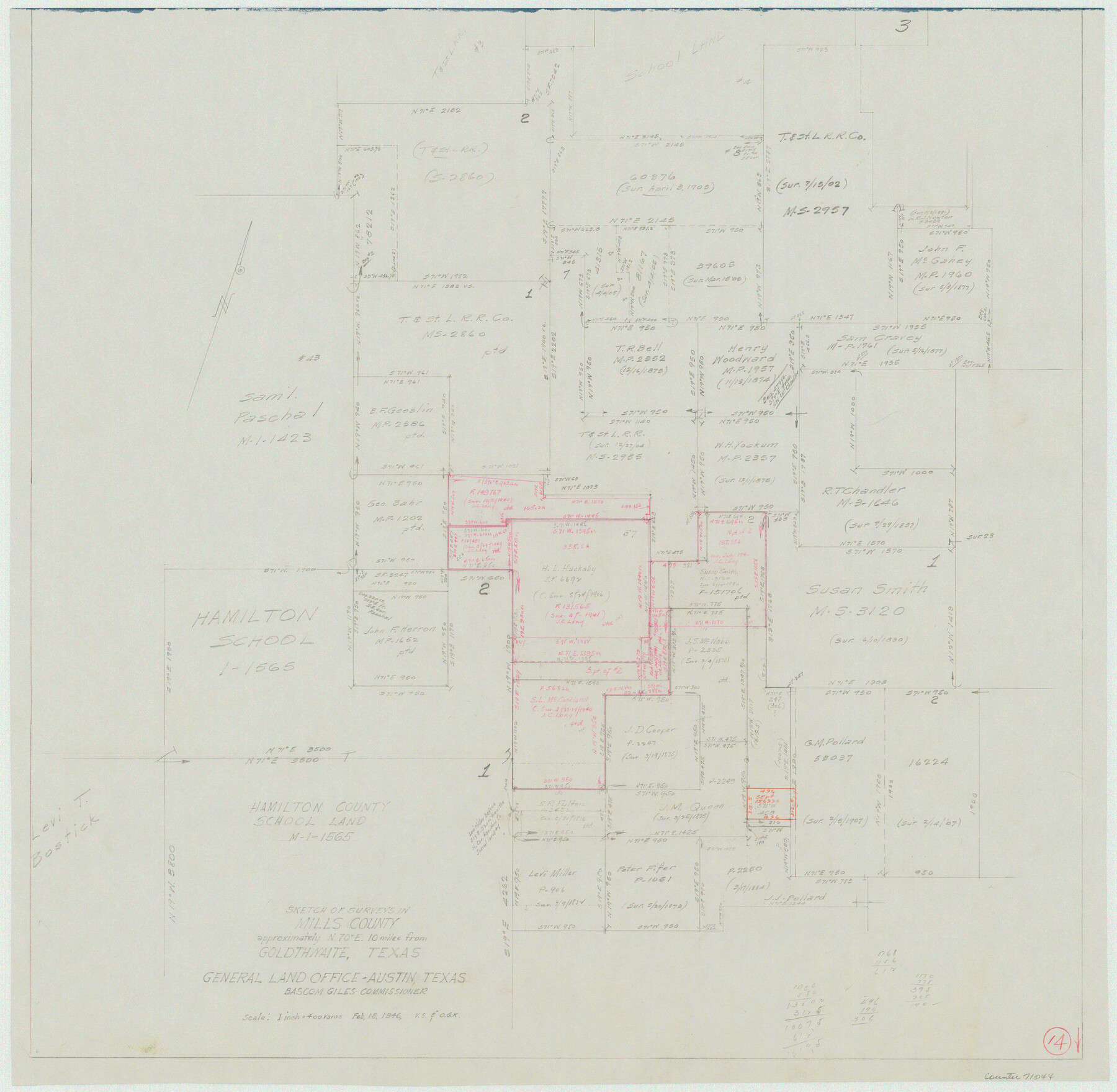
Mills County Working Sketch 14
-
Map/Doc
71044
-
Collection
General Map Collection
-
Object Dates
2/18/1946 (Creation Date)
-
People and Organizations
Victor E. Sterzing (Draftsman)
Otto G. Kurio (Draftsman)
-
Counties
Mills
-
Subjects
Surveying Working Sketch
-
Height x Width
27.5 x 28.1 inches
69.9 x 71.4 cm
-
Scale
1" = 400 varas
Part of: General Map Collection
Clay County Boundary File 6

Print $2.00
- Digital $50.00
Clay County Boundary File 6
Size 8.1 x 3.5 inches
Map/Doc 51376
Wharton County Sketch File 13

Print $26.00
- Digital $50.00
Wharton County Sketch File 13
1894
Size 14.0 x 8.7 inches
Map/Doc 39935
Liberty County Working Sketch 70

Print $20.00
- Digital $50.00
Liberty County Working Sketch 70
1976
Size 32.4 x 30.8 inches
Map/Doc 70530
H No. 3 - Reconnoissance of the Passes of the Delta of the Mississippi, Louisiana showing the changes since 1839

Print $20.00
- Digital $50.00
H No. 3 - Reconnoissance of the Passes of the Delta of the Mississippi, Louisiana showing the changes since 1839
1852
Size 15.9 x 22.8 inches
Map/Doc 97224
Sutton County Sketch File JT

Print $12.00
- Digital $50.00
Sutton County Sketch File JT
Size 14.4 x 8.6 inches
Map/Doc 37453
Knox County Working Sketch 18

Print $20.00
- Digital $50.00
Knox County Working Sketch 18
1988
Size 40.0 x 29.7 inches
Map/Doc 70260
Edwards County Working Sketch 47

Print $20.00
- Digital $50.00
Edwards County Working Sketch 47
1950
Size 37.9 x 24.1 inches
Map/Doc 68923
Zapata County Sketch File 3

Print $6.00
- Digital $50.00
Zapata County Sketch File 3
1883
Size 16.3 x 10.7 inches
Map/Doc 40904
Newton County Rolled Sketch 4

Print $20.00
- Digital $50.00
Newton County Rolled Sketch 4
1893
Size 21.1 x 19.7 inches
Map/Doc 6840
Potter County Boundary File 3e

Print $6.00
- Digital $50.00
Potter County Boundary File 3e
Size 9.2 x 8.0 inches
Map/Doc 57993
Real County Rolled Sketch 13

Print $20.00
- Digital $50.00
Real County Rolled Sketch 13
Size 23.0 x 34.0 inches
Map/Doc 9838
Leon County Rolled Sketch 4

Print $20.00
- Digital $50.00
Leon County Rolled Sketch 4
1947
Size 34.6 x 35.4 inches
Map/Doc 9426
You may also like
Louisiana and Texas Intracoastal Waterway, Section 7, Galveston Bay to Brazos River and Section 8, Brazos River to Matagorda Bay

Print $20.00
- Digital $50.00
Louisiana and Texas Intracoastal Waterway, Section 7, Galveston Bay to Brazos River and Section 8, Brazos River to Matagorda Bay
1929
Size 30.8 x 43.0 inches
Map/Doc 61841
Young Territory

Print $20.00
- Digital $50.00
Young Territory
1873
Size 45.3 x 42.8 inches
Map/Doc 1988
[Plat Showing San Gabriel & 24th Street Intersection, Outlot 4, Travis County, Texas]
![75795, [Plat Showing San Gabriel & 24th Street Intersection, Outlot 4, Travis County, Texas], Maddox Collection](https://historictexasmaps.com/wmedia_w700/maps/75795.tif.jpg)
Print $2.00
- Digital $50.00
[Plat Showing San Gabriel & 24th Street Intersection, Outlot 4, Travis County, Texas]
Size 11.4 x 8.7 inches
Map/Doc 75795
Working Sketch in Wheeler County

Print $20.00
- Digital $50.00
Working Sketch in Wheeler County
1910
Size 7.0 x 39.5 inches
Map/Doc 90731

Val Verde County Rolled Sketch 27

Print $20.00
- Digital $50.00
Val Verde County Rolled Sketch 27
Size 26.0 x 37.9 inches
Map/Doc 8109
Wilbarger County Rolled Sketch 10

Print $20.00
- Digital $50.00
Wilbarger County Rolled Sketch 10
1983
Size 37.6 x 23.8 inches
Map/Doc 8259
Montgomery County Working Sketch 62

Print $20.00
- Digital $50.00
Montgomery County Working Sketch 62
1963
Size 18.1 x 21.3 inches
Map/Doc 71169

Hudspeth County Working Sketch 41

Print $20.00
- Digital $50.00
Hudspeth County Working Sketch 41
1981
Size 18.3 x 37.1 inches
Map/Doc 66326
Jefferson County Rolled Sketch 3

Print $20.00
- Digital $50.00
Jefferson County Rolled Sketch 3
1909
Size 36.0 x 16.2 inches
Map/Doc 6384
Wichita County Sketch File 33

Print $6.00
- Digital $50.00
Wichita County Sketch File 33
1949
Size 11.0 x 17.0 inches
Map/Doc 40152