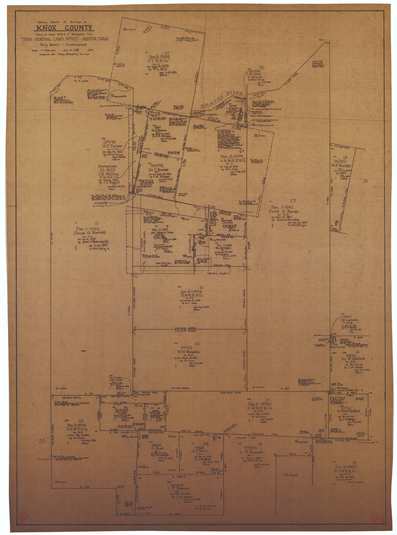
Knox County Working Sketch 18
-
Map/Doc
70260
-
Collection
General Map Collection
-
Object Dates
10/19/1988 (Creation Date)
-
People and Organizations
Joan Kilpatrick (Draftsman)
-
Counties
Knox
-
Subjects
Surveying Working Sketch
-
Height x Width
40.0 x 29.7 inches
101.6 x 75.4 cm
-
Scale
1" = 300 varas
Part of: General Map Collection
Concho County Working Sketch 21

Print $20.00
- Digital $50.00
Concho County Working Sketch 21
1957
Size 36.4 x 36.0 inches
Map/Doc 68203
Live Oak County

Print $40.00
- Digital $50.00
Live Oak County
1899
Size 51.5 x 38.4 inches
Map/Doc 5018
Flight Mission No. CGI-3N, Frame 53, Cameron County

Print $20.00
- Digital $50.00
Flight Mission No. CGI-3N, Frame 53, Cameron County
1954
Size 18.5 x 22.2 inches
Map/Doc 84559
[Surveys in the Bexar District]
![24, [Surveys in the Bexar District], General Map Collection](https://historictexasmaps.com/wmedia_w700/maps/24-1.tif.jpg)
Print $20.00
- Digital $50.00
[Surveys in the Bexar District]
1841
Size 23.0 x 16.5 inches
Map/Doc 24

Chambers County Sketch File X

Print $4.00
- Digital $50.00
Chambers County Sketch File X
1936
Size 11.1 x 8.7 inches
Map/Doc 17598
Brewster County Rolled Sketch 56

Print $20.00
- Digital $50.00
Brewster County Rolled Sketch 56
Size 43.1 x 37.1 inches
Map/Doc 8481
Armstrong County Rolled Sketch 2

Print $20.00
- Digital $50.00
Armstrong County Rolled Sketch 2
Size 23.3 x 22.3 inches
Map/Doc 5083
Tarrant County Working Sketch 17

Print $20.00
- Digital $50.00
Tarrant County Working Sketch 17
1983
Size 24.6 x 20.7 inches
Map/Doc 62434
Plat of All Surveys on the Lavaca Not Heretofor Returned

Print $2.00
- Digital $50.00
Plat of All Surveys on the Lavaca Not Heretofor Returned
1841
Size 12.5 x 7.8 inches
Map/Doc 78361
Jackson County Sketch File 2

Print $6.00
- Digital $50.00
Jackson County Sketch File 2
Size 10.2 x 15.5 inches
Map/Doc 27619
Lampasas County Sketch File 3

Print $4.00
- Digital $50.00
Lampasas County Sketch File 3
1856
Size 12.1 x 7.6 inches
Map/Doc 29392
You may also like
Archer County

Print $20.00
- Digital $50.00
Archer County
1898
Size 36.0 x 39.4 inches
Map/Doc 93033
[Part of Hutchison County]
![91144, [Part of Hutchison County], Twichell Survey Records](https://historictexasmaps.com/wmedia_w700/maps/91144-1.tif.jpg)
Print $2.00
- Digital $50.00
[Part of Hutchison County]
1875
Size 7.5 x 11.5 inches
Map/Doc 91144
Gillespie County Sketch File 3

Print $4.00
- Digital $50.00
Gillespie County Sketch File 3
1847
Size 11.2 x 8.0 inches
Map/Doc 24129
Liberty County Working Sketch 55

Print $20.00
- Digital $50.00
Liberty County Working Sketch 55
1962
Size 30.4 x 31.4 inches
Map/Doc 70515
Houston including Bellaire, Bunker Hill, Galena Park, Hedwig, Hilshire, Hunters Creek, Jacinto City, Jersey Village, Missouri City, Pasadena, Piney Point, South Houston, Spring Valley, West University Place and adjoining communities [Verso]
![94180, Houston including Bellaire, Bunker Hill, Galena Park, Hedwig, Hilshire, Hunters Creek, Jacinto City, Jersey Village, Missouri City, Pasadena, Piney Point, South Houston, Spring Valley, West University Place and adjoining communities [Verso], General Map Collection](https://historictexasmaps.com/wmedia_w700/maps/94180.tif.jpg)
Houston including Bellaire, Bunker Hill, Galena Park, Hedwig, Hilshire, Hunters Creek, Jacinto City, Jersey Village, Missouri City, Pasadena, Piney Point, South Houston, Spring Valley, West University Place and adjoining communities [Verso]
Size 27.1 x 42.4 inches
Map/Doc 94180
Crockett County Working Sketch 31

Print $20.00
- Digital $50.00
Crockett County Working Sketch 31
1924
Size 37.2 x 33.5 inches
Map/Doc 68364
Right of Way and Track Map of The Wichita Falls & Southern Railroad Company

Print $40.00
- Digital $50.00
Right of Way and Track Map of The Wichita Falls & Southern Railroad Company
1942
Size 24.7 x 56.3 inches
Map/Doc 64521
Brooks County Sketch File 3a

Print $5.00
- Digital $50.00
Brooks County Sketch File 3a
Size 14.2 x 9.5 inches
Map/Doc 16542
Crosby County Sketch File A

Print $6.00
- Digital $50.00
Crosby County Sketch File A
Size 15.2 x 11.7 inches
Map/Doc 19989
Hutchinson County Sketch File 9

Print $4.00
- Digital $50.00
Hutchinson County Sketch File 9
1900
Size 12.7 x 9.2 inches
Map/Doc 27209
Baylor County Sketch File 9

Print $50.00
- Digital $50.00
Baylor County Sketch File 9
1890
Size 13.4 x 9.0 inches
Map/Doc 14139
Panola County Sketch File 19

Print $14.00
- Digital $50.00
Panola County Sketch File 19
Size 11.7 x 7.7 inches
Map/Doc 33478