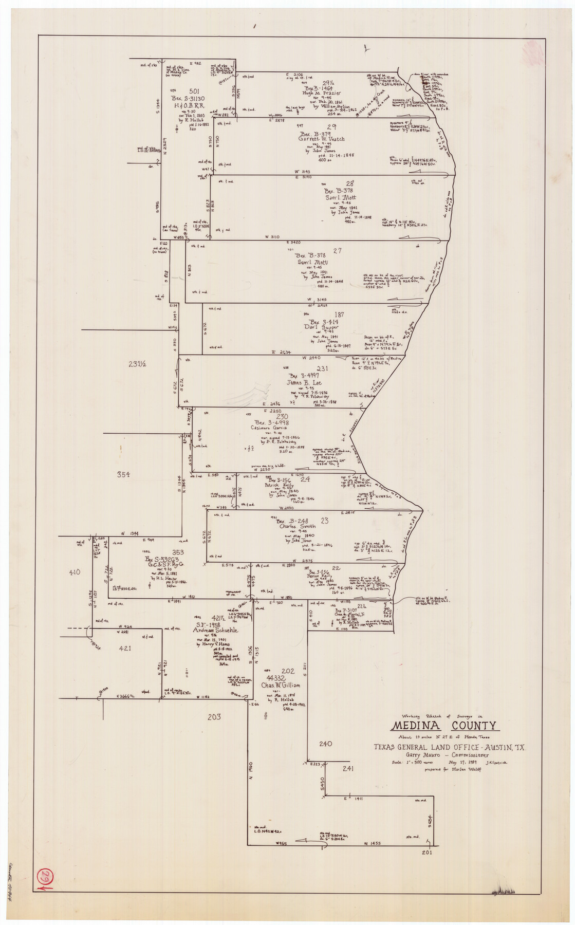
Medina County Working Sketch 29
-
Map/Doc
70944
-
Collection
General Map Collection
-
Object Dates
5/17/1989 (Donation Date)
-
People and Organizations
Joan Kilpatrick (Draftsman)
-
Counties
Medina
-
Subjects
Surveying Working Sketch
-
Height x Width
40.1 x 25.0 inches
101.9 x 63.5 cm
-
Scale
1" = 300 varas
Part of: General Map Collection
Right of Way and Track Map San Antonio and Aransas Pass Railway Co.

Print $4.00
- Digital $50.00
Right of Way and Track Map San Antonio and Aransas Pass Railway Co.
1919
Size 11.9 x 18.5 inches
Map/Doc 62562
Jim Hogg County Sketch File 5

Print $20.00
- Digital $50.00
Jim Hogg County Sketch File 5
1939
Size 24.8 x 19.9 inches
Map/Doc 11885
Preliminary Chart of Entrance to Brazos River, Texas

Print $20.00
- Digital $50.00
Preliminary Chart of Entrance to Brazos River, Texas
Size 17.6 x 19.8 inches
Map/Doc 81986
Grimes County Working Sketch 6

Print $20.00
- Digital $50.00
Grimes County Working Sketch 6
1951
Size 33.2 x 33.4 inches
Map/Doc 63297
Pecos County Rolled Sketch 85

Print $20.00
- Digital $50.00
Pecos County Rolled Sketch 85
1931
Size 36.7 x 24.4 inches
Map/Doc 7243
Maverick County Sketch File 18

Print $14.00
- Digital $50.00
Maverick County Sketch File 18
1886
Size 12.8 x 8.1 inches
Map/Doc 31121
[Sketch for Mineral Application 33721 - 33725 Incl. - Padre and Mustang Island]
![2878, [Sketch for Mineral Application 33721 - 33725 Incl. - Padre and Mustang Island], General Map Collection](https://historictexasmaps.com/wmedia_w700/maps/2878.tif.jpg)
Print $20.00
- Digital $50.00
[Sketch for Mineral Application 33721 - 33725 Incl. - Padre and Mustang Island]
1942
Size 29.8 x 22.7 inches
Map/Doc 2878
Liberty County Working Sketch 36

Print $20.00
- Digital $50.00
Liberty County Working Sketch 36
1948
Size 24.3 x 25.0 inches
Map/Doc 70495
Edwards County Working Sketch 134

Print $40.00
- Digital $50.00
Edwards County Working Sketch 134
1986
Size 29.4 x 54.2 inches
Map/Doc 69010
Flight Mission No. DCL-5C, Frame 77, Kenedy County

Print $20.00
- Digital $50.00
Flight Mission No. DCL-5C, Frame 77, Kenedy County
1943
Size 18.5 x 22.4 inches
Map/Doc 85860
McCulloch County Working Sketch 6

Print $20.00
- Digital $50.00
McCulloch County Working Sketch 6
1961
Size 15.2 x 23.9 inches
Map/Doc 70681
Copy of Surveyor's Field Book, Morris Browning - In Blocks 7, 5 & 4, I&GNRRCo., Hutchinson and Carson Counties, Texas

Print $2.00
- Digital $50.00
Copy of Surveyor's Field Book, Morris Browning - In Blocks 7, 5 & 4, I&GNRRCo., Hutchinson and Carson Counties, Texas
1888
Size 7.0 x 8.9 inches
Map/Doc 62277
You may also like
Map of Portions of Eastland, Brown and Comanche Counties

Print $20.00
Map of Portions of Eastland, Brown and Comanche Counties
Size 21.7 x 16.7 inches
Map/Doc 88926
George M. Slaughter Block Hockley and Cochran Counties, Texas

Print $20.00
- Digital $50.00
George M. Slaughter Block Hockley and Cochran Counties, Texas
1929
Size 14.1 x 25.2 inches
Map/Doc 92238
Map of Terry County

Print $20.00
- Digital $50.00
Map of Terry County
Size 26.5 x 27.8 inches
Map/Doc 92908
The Judicial District/County of Ward. Created, January 19, 1841

Print $20.00
The Judicial District/County of Ward. Created, January 19, 1841
2020
Size 18.7 x 21.7 inches
Map/Doc 96354
Matagorda County Sketch File 25

Print $20.00
- Digital $50.00
Matagorda County Sketch File 25
1903
Size 18.1 x 30.3 inches
Map/Doc 12041
Blanco County Working Sketch 31

Print $20.00
- Digital $50.00
Blanco County Working Sketch 31
1972
Size 19.1 x 25.7 inches
Map/Doc 67391
Sutton County Rolled Sketch 58

Print $20.00
- Digital $50.00
Sutton County Rolled Sketch 58
Size 31.2 x 15.9 inches
Map/Doc 7896
[Texas Central Railway through Callahan County]
![64240, [Texas Central Railway through Callahan County], General Map Collection](https://historictexasmaps.com/wmedia_w700/maps/64240-1.tif.jpg)
Print $40.00
- Digital $50.00
[Texas Central Railway through Callahan County]
Size 24.6 x 86.3 inches
Map/Doc 64240
Flight Mission No. DQO-8K, Frame 65, Galveston County

Print $20.00
- Digital $50.00
Flight Mission No. DQO-8K, Frame 65, Galveston County
1952
Size 18.8 x 22.5 inches
Map/Doc 85169
Cooke County Working Sketch 37

Print $20.00
- Digital $50.00
Cooke County Working Sketch 37
1995
Size 21.7 x 18.9 inches
Map/Doc 68274
La Salle County Boundary File 57b

Print $20.00
- Digital $50.00
La Salle County Boundary File 57b
Size 25.6 x 20.6 inches
Map/Doc 56258
Burnet County Boundary File 12b

Print $8.00
- Digital $50.00
Burnet County Boundary File 12b
Size 12.8 x 8.4 inches
Map/Doc 50960