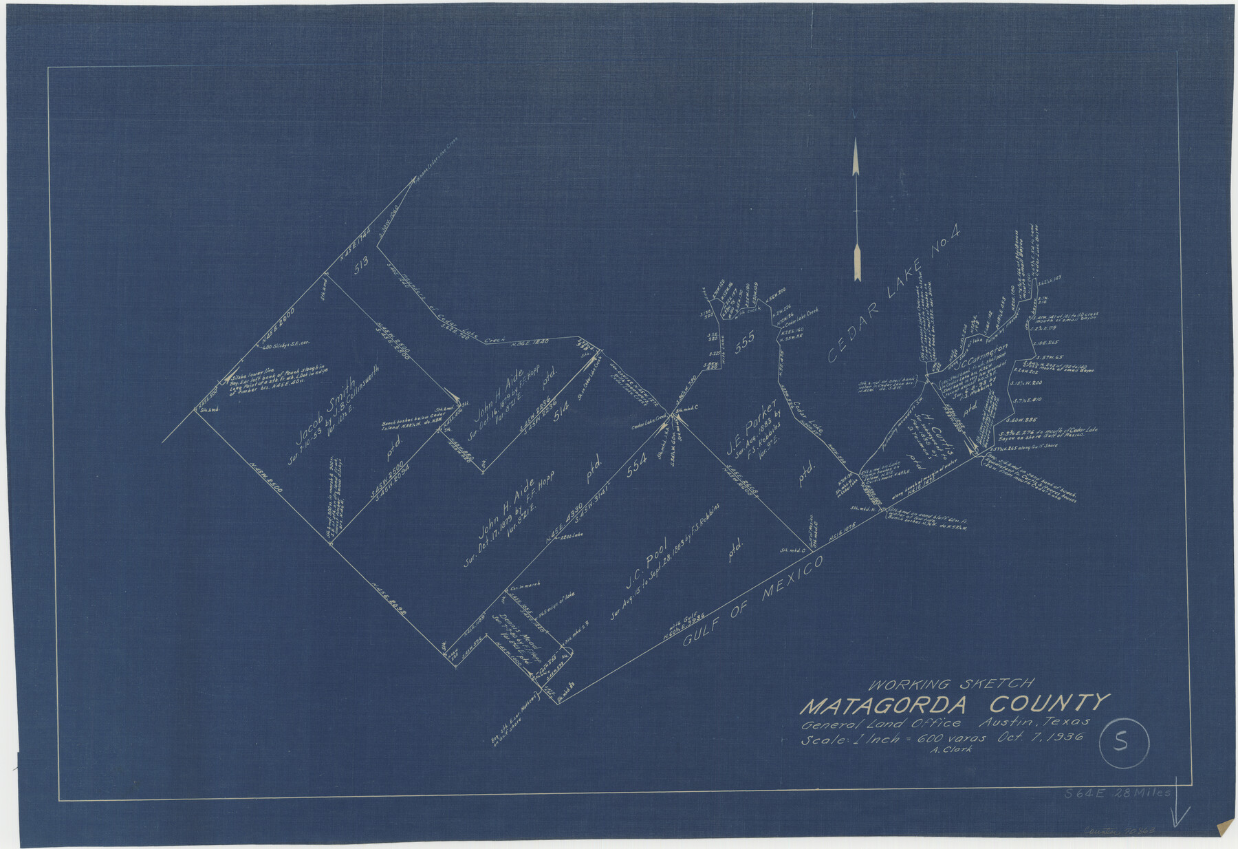
Matagorda County Working Sketch 5
-
Map/Doc
70863
-
Collection
General Map Collection
-
Object Dates
10/7/1936 (Creation Date)
-
People and Organizations
A. Clark (Draftsman)
-
Counties
Matagorda
-
Subjects
Surveying Working Sketch
-
Height x Width
18.4 x 26.9 inches
46.7 x 68.3 cm
-
Scale
1" = 600 varas
Part of: General Map Collection
Wilson County Sketch File A

Print $4.00
- Digital $50.00
Wilson County Sketch File A
1898
Size 8.3 x 7.4 inches
Map/Doc 40423
Map of Wise County

Print $20.00
- Digital $50.00
Map of Wise County
1895
Size 41.7 x 37.5 inches
Map/Doc 63133
Liberty County Sketch File 3

Print $2.00
- Digital $50.00
Liberty County Sketch File 3
1847
Size 13.7 x 8.3 inches
Map/Doc 29884
Nueces County Rolled Sketch 13

Print $20.00
- Digital $50.00
Nueces County Rolled Sketch 13
1930
Size 26.5 x 18.5 inches
Map/Doc 6869
Medina County Working Sketch 18

Print $20.00
- Digital $50.00
Medina County Working Sketch 18
1980
Size 31.4 x 38.0 inches
Map/Doc 70933
Gray County Sketch File 6

Print $20.00
- Digital $50.00
Gray County Sketch File 6
1882
Size 26.3 x 21.4 inches
Map/Doc 11575
Aransas County NRC Article 33.136 Sketch 10

Print $26.00
- Digital $50.00
Aransas County NRC Article 33.136 Sketch 10
Size 24.2 x 36.0 inches
Map/Doc 95016
San Jacinto County Working Sketch 38

Print $40.00
- Digital $50.00
San Jacinto County Working Sketch 38
1966
Size 41.5 x 55.9 inches
Map/Doc 63751
Wise County Sketch File 18

Print $4.00
- Digital $50.00
Wise County Sketch File 18
1860
Size 12.8 x 7.8 inches
Map/Doc 40553
Map of Ramsey State Farm

Print $20.00
- Digital $50.00
Map of Ramsey State Farm
1934
Size 30.3 x 38.0 inches
Map/Doc 94284
Flight Mission No. DQO-1K, Frame 39, Galveston County

Print $20.00
- Digital $50.00
Flight Mission No. DQO-1K, Frame 39, Galveston County
1952
Size 18.8 x 22.6 inches
Map/Doc 84982
Flight Mission No. CON-2R, Frame 114, Stonewall County

Print $20.00
- Digital $50.00
Flight Mission No. CON-2R, Frame 114, Stonewall County
1957
Size 18.3 x 22.0 inches
Map/Doc 86989
You may also like
Montgomery County Working Sketch 21

Print $20.00
- Digital $50.00
Montgomery County Working Sketch 21
1936
Size 16.4 x 37.0 inches
Map/Doc 71128
Victoria County Rolled Sketch 9

Print $20.00
- Digital $50.00
Victoria County Rolled Sketch 9
Size 24.1 x 36.1 inches
Map/Doc 95400
Nacogdoches County Sketch File 11

Print $2.00
- Digital $50.00
Nacogdoches County Sketch File 11
Size 8.0 x 8.8 inches
Map/Doc 32255
The North Part of America

Print $20.00
- Digital $50.00
The North Part of America
1625
Size 13.1 x 14.8 inches
Map/Doc 93815
Coke County Sketch File 24

Print $6.00
- Digital $50.00
Coke County Sketch File 24
1927
Size 11.1 x 8.8 inches
Map/Doc 18615
The Republic County of Fort Bend. Created, December 29, 1837

Print $20.00
The Republic County of Fort Bend. Created, December 29, 1837
2020
Size 14.7 x 21.6 inches
Map/Doc 96137
A Camera Journey through the Lower Valley of the Rio Grande - the Garden of Golden Grapefruit

A Camera Journey through the Lower Valley of the Rio Grande - the Garden of Golden Grapefruit
1929
Map/Doc 96744
University Land, Block 48, Culberson County, Texas

Print $20.00
- Digital $50.00
University Land, Block 48, Culberson County, Texas
1938
Size 28.1 x 21.7 inches
Map/Doc 2411
R. L. Gladney 160 acres in northwest 48, Block 9

Print $20.00
- Digital $50.00
R. L. Gladney 160 acres in northwest 48, Block 9
Size 15.9 x 30.8 inches
Map/Doc 91731
Potter County Working Sketch 14

Print $20.00
- Digital $50.00
Potter County Working Sketch 14
1982
Size 33.7 x 32.6 inches
Map/Doc 71674
[T. T. RR. Co. Block 8 and vicinity]
![90875, [T. T. RR. Co. Block 8 and vicinity], Twichell Survey Records](https://historictexasmaps.com/wmedia_w700/maps/90875-2.tif.jpg)
Print $20.00
- Digital $50.00
[T. T. RR. Co. Block 8 and vicinity]
Size 25.3 x 39.0 inches
Map/Doc 90875
[Map of the Line of the H. & Texas Cen. Railway from the Navasota River, 72 1/2 Miles from Houston, to Corsicana in Navarro Co., 211 mls from Houston]
![64087, [Map of the Line of the H. & Texas Cen. Railway from the Navasota River, 72 1/2 Miles from Houston, to Corsicana in Navarro Co., 211 mls from Houston], General Map Collection](https://historictexasmaps.com/wmedia_w700/maps/64087.tif.jpg)
Print $40.00
- Digital $50.00
[Map of the Line of the H. & Texas Cen. Railway from the Navasota River, 72 1/2 Miles from Houston, to Corsicana in Navarro Co., 211 mls from Houston]
Size 75.6 x 39.6 inches
Map/Doc 64087