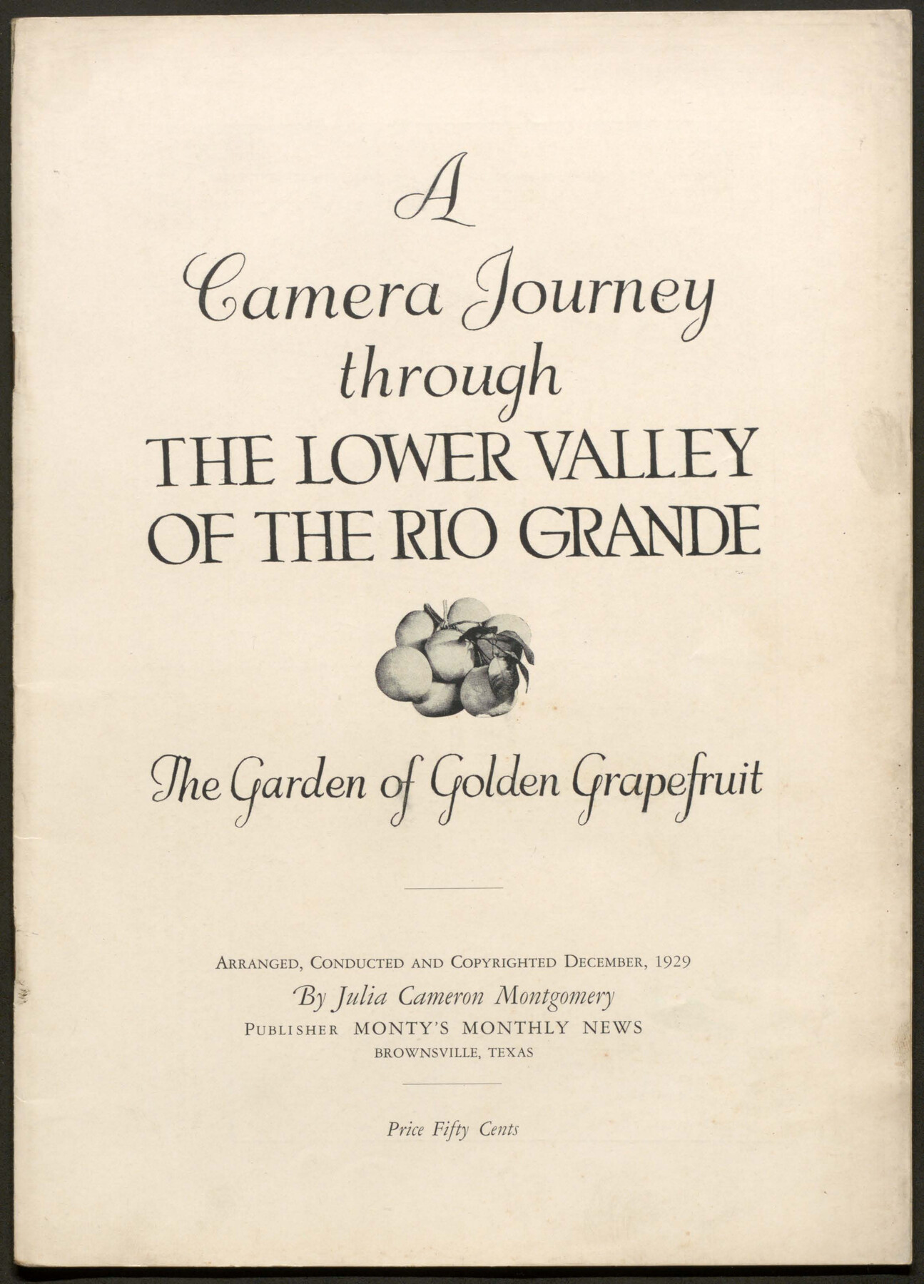
A Camera Journey through the Lower Valley of the Rio Grande - the Garden of Golden Grapefruit
-
Map/Doc
96744
-
Collection
Cobb Digital Map Collection
-
Object Dates
12/1929 (Creation Date)
-
People and Organizations
Julia Cameron Montgomery (Author)
Monty's Monthly News (Publisher)
-
Subjects
Railroads Bound Volume
-
Medium
pdf
-
Comments
Courtesy of John & Diana Cobb.
Part of: Cobb Digital Map Collection
Texas Coast Country on the Southern Pacific Lines

Texas Coast Country on the Southern Pacific Lines
1917
Size 9.4 x 6.4 inches
Map/Doc 97061
Laredo Route. Mexican National Railroad - the Shortest Line to Mexico

Print $20.00
- Digital $50.00
Laredo Route. Mexican National Railroad - the Shortest Line to Mexico
1905
Size 11.0 x 8.5 inches
Map/Doc 96589


Missouri, Kansas & Texas Ry. thro' Denison and the beautiful Indian Territory

Print $20.00
- Digital $50.00
Missouri, Kansas & Texas Ry. thro' Denison and the beautiful Indian Territory
1877
Size 15.7 x 21.7 inches
Map/Doc 95805
Shallow Water Country of Northwest Texas

Shallow Water Country of Northwest Texas
1916
Map/Doc 96758
The Texas and Oklahoma Official Railway & Hotel Guide Map

Print $20.00
- Digital $50.00
The Texas and Oklahoma Official Railway & Hotel Guide Map
1906
Size 23.4 x 23.7 inches
Map/Doc 95892
[Map of Florida]
![96622, [Map of Florida], Cobb Digital Map Collection](https://historictexasmaps.com/wmedia_w700/maps/96622.tif.jpg)
Print $20.00
- Digital $50.00
[Map of Florida]
1869
Size 9.0 x 9.6 inches
Map/Doc 96622
Texas - the Land of Plenty and Promise where the People Combine the Culture of the East with the Vision of the West and the Energy of the North with the Hospitality of the South

Print $20.00
- Digital $50.00
Texas - the Land of Plenty and Promise where the People Combine the Culture of the East with the Vision of the West and the Energy of the North with the Hospitality of the South
1937
Size 7.2 x 10.5 inches
Map/Doc 96596
Victoria, Texas: The City of Roses

Victoria, Texas: The City of Roses
1910
Size 3.6 x 4.8 inches
Map/Doc 97056
The Rand-McNally Official Railway Guide Map of the United States with portions of the Dominion of Canada, the Republic of Mexico, and the West Indies

Print $20.00
- Digital $50.00
The Rand-McNally Official Railway Guide Map of the United States with portions of the Dominion of Canada, the Republic of Mexico, and the West Indies
1927
Size 31.1 x 43.5 inches
Map/Doc 95864
Correct Map of the Railway & Steamship Lines operated by the Southern Pacific Company

Print $20.00
- Digital $50.00
Correct Map of the Railway & Steamship Lines operated by the Southern Pacific Company
1893
Size 16.7 x 40.1 inches
Map/Doc 95762
You may also like
Tom Green County Boundary File 5

Print $44.00
- Digital $50.00
Tom Green County Boundary File 5
Size 14.4 x 8.8 inches
Map/Doc 59363
Cooke County Working Sketch 19

Print $20.00
- Digital $50.00
Cooke County Working Sketch 19
1954
Size 23.8 x 20.7 inches
Map/Doc 68256
Map of Newton County

Print $40.00
- Digital $50.00
Map of Newton County
1894
Size 74.9 x 27.7 inches
Map/Doc 16778
Red River County Working Sketch 79

Print $40.00
- Digital $50.00
Red River County Working Sketch 79
1986
Size 43.8 x 61.1 inches
Map/Doc 72062
Kendall County Working Sketch 6

Print $20.00
- Digital $50.00
Kendall County Working Sketch 6
1947
Size 42.6 x 24.8 inches
Map/Doc 66678
Flight Mission No. BRE-1P, Frame 143, Nueces County

Print $20.00
- Digital $50.00
Flight Mission No. BRE-1P, Frame 143, Nueces County
1956
Size 18.3 x 22.2 inches
Map/Doc 86703
San Patricio County NRC Article 33.136 Location Key Sheet

Print $20.00
- Digital $50.00
San Patricio County NRC Article 33.136 Location Key Sheet
1975
Size 27.0 x 23.0 inches
Map/Doc 77036
Terry County Memorial Cemetery

Print $20.00
- Digital $50.00
Terry County Memorial Cemetery
Size 35.3 x 14.4 inches
Map/Doc 92931
Harris County Sketch File 107

Print $18.00
- Digital $50.00
Harris County Sketch File 107
1996
Size 11.2 x 8.7 inches
Map/Doc 26015
Wichita County Working Sketch 10

Print $20.00
- Digital $50.00
Wichita County Working Sketch 10
1920
Size 25.4 x 16.1 inches
Map/Doc 72519
Presidio County Working Sketch 79

Print $40.00
- Digital $50.00
Presidio County Working Sketch 79
1966
Size 42.4 x 50.5 inches
Map/Doc 71756
Terrell County Working Sketch 84d

Print $20.00
- Digital $50.00
Terrell County Working Sketch 84d
1992
Size 18.4 x 31.5 inches
Map/Doc 69608