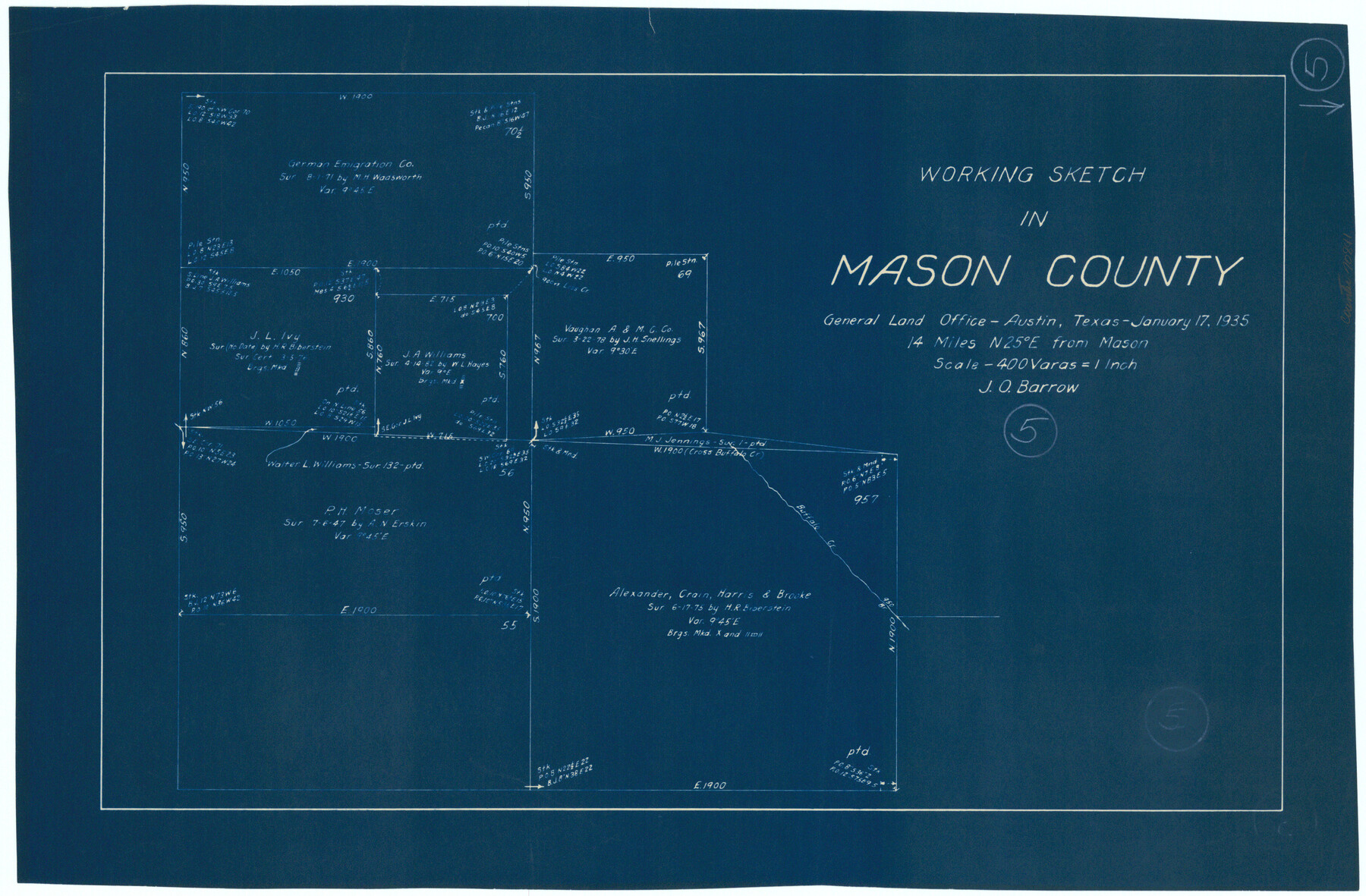
Mason County Working Sketch 5
-
Map/Doc
70841
-
Collection
General Map Collection
-
Object Dates
1/17/1935 (Creation Date)
-
People and Organizations
J.O. Barrow (Draftsman)
-
Counties
Mason
-
Subjects
Surveying Working Sketch
-
Height x Width
12.1 x 18.5 inches
30.7 x 47.0 cm
-
Scale
1" = 400 varas
Part of: General Map Collection
Hardin County Sketch File 55

Print $40.00
- Digital $50.00
Hardin County Sketch File 55
1924
Size 14.2 x 13.3 inches
Map/Doc 25220
Flight Mission No. BRA-8M, Frame 88, Jefferson County

Print $20.00
- Digital $50.00
Flight Mission No. BRA-8M, Frame 88, Jefferson County
1953
Size 18.6 x 22.3 inches
Map/Doc 85608
Blanco County Working Sketch 1

Print $20.00
- Digital $50.00
Blanco County Working Sketch 1
Size 31.1 x 17.4 inches
Map/Doc 76449
Comanche County Working Sketch 26

Print $20.00
- Digital $50.00
Comanche County Working Sketch 26
1981
Size 26.0 x 32.4 inches
Map/Doc 68160
Hamilton County Working Sketch 12

Print $20.00
- Digital $50.00
Hamilton County Working Sketch 12
1949
Size 43.9 x 41.7 inches
Map/Doc 63350
Flight Mission No. DCL-6C, Frame 94, Kenedy County

Print $20.00
- Digital $50.00
Flight Mission No. DCL-6C, Frame 94, Kenedy County
1943
Size 18.6 x 22.3 inches
Map/Doc 85924
Webb County Boundary File 6

Print $123.00
- Digital $50.00
Webb County Boundary File 6
Size 14.4 x 8.8 inches
Map/Doc 59786
Morris County Rolled Sketch 2A

Print $20.00
- Digital $50.00
Morris County Rolled Sketch 2A
Size 22.7 x 17.6 inches
Map/Doc 10268
McMullen County Working Sketch 36

Print $20.00
- Digital $50.00
McMullen County Working Sketch 36
1963
Size 40.1 x 41.5 inches
Map/Doc 70737
Sketch of a portion of the Texas Coast showing the relative positions of different harbours with the interior Military Posts, and the roads communicating with them, also two new routes from Black Point and Lamar to San Antonio

Print $20.00
- Digital $50.00
Sketch of a portion of the Texas Coast showing the relative positions of different harbours with the interior Military Posts, and the roads communicating with them, also two new routes from Black Point and Lamar to San Antonio
1855
Size 27.2 x 18.3 inches
Map/Doc 72711
Jefferson County Sketch File 41

Print $58.00
- Digital $50.00
Jefferson County Sketch File 41
1957
Size 14.2 x 8.7 inches
Map/Doc 28236
Jackson County Working Sketch 14

Print $20.00
- Digital $50.00
Jackson County Working Sketch 14
1990
Size 31.7 x 32.2 inches
Map/Doc 66462
You may also like
Franklin County Sketch File 9

Print $20.00
- Digital $50.00
Franklin County Sketch File 9
Size 13.6 x 23.1 inches
Map/Doc 11515
Index for Texas Railroad ROW & track maps available on microfilm at THD & Archives and Records

Print $2.00
- Digital $50.00
Index for Texas Railroad ROW & track maps available on microfilm at THD & Archives and Records
1977
Size 11.3 x 8.6 inches
Map/Doc 60761
[Galveston, Harrisburg & San Antonio Railroad from Cuero to Stockdale]
![64194, [Galveston, Harrisburg & San Antonio Railroad from Cuero to Stockdale], General Map Collection](https://historictexasmaps.com/wmedia_w700/maps/64194.tif.jpg)
Print $20.00
- Digital $50.00
[Galveston, Harrisburg & San Antonio Railroad from Cuero to Stockdale]
1907
Size 13.6 x 34.0 inches
Map/Doc 64194
Pecos County Working Sketch 58

Print $20.00
- Digital $50.00
Pecos County Working Sketch 58
1949
Size 20.5 x 22.0 inches
Map/Doc 71530
Tom Green County Sketch File 77

Print $6.00
- Digital $50.00
Tom Green County Sketch File 77
Size 10.0 x 8.5 inches
Map/Doc 38253
Real County Working Sketch 4

Print $20.00
- Digital $50.00
Real County Working Sketch 4
1924
Size 17.1 x 15.5 inches
Map/Doc 71896
Map of Callahan County

Print $20.00
- Digital $50.00
Map of Callahan County
1878
Size 23.0 x 18.8 inches
Map/Doc 3361
Culberson County Working Sketch 54

Print $20.00
- Digital $50.00
Culberson County Working Sketch 54
1974
Size 26.4 x 32.6 inches
Map/Doc 68508
Palo Pinto County Rolled Sketch 2

Print $20.00
- Digital $50.00
Palo Pinto County Rolled Sketch 2
1917
Size 37.5 x 43.8 inches
Map/Doc 9669
General Highway Map, Brazoria County, Texas

Print $20.00
General Highway Map, Brazoria County, Texas
1961
Size 24.9 x 18.1 inches
Map/Doc 79383

Young County Working Sketch 23

Print $20.00
- Digital $50.00
Young County Working Sketch 23
1965
Size 31.3 x 22.3 inches
Map/Doc 62046