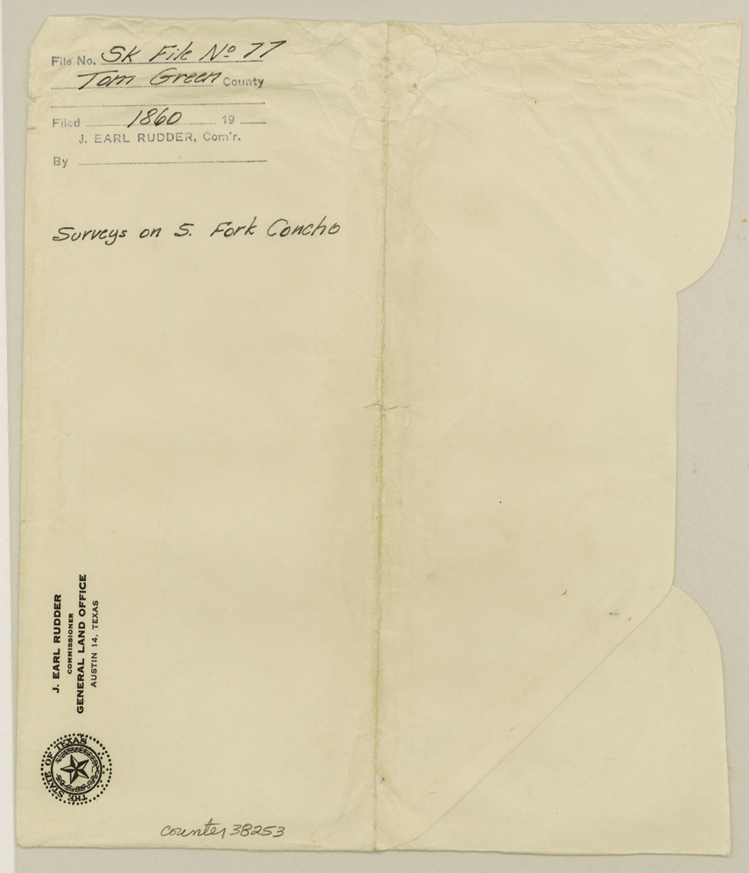
Tom Green County Sketch File 77
[Two sketches showing surveys on the South Fork of the Concho River]
-
Map/Doc
38253
-
Collection
General Map Collection
-
Object Dates
3/18/1860 (File Date)
-
Counties
Tom Green
-
Subjects
Surveying Sketch File
-
Height x Width
10.0 x 8.5 inches
25.4 x 21.6 cm
-
Medium
paper, manuscript
-
Scale
1" = 4000 varas
-
Features
South Fork of Concho River
Concho River
Good Spring Fork [of Concho River]
Burk's Creek
South Concho River
Part of: General Map Collection
Orange County Sketch File 16

Print $20.00
- Digital $50.00
Orange County Sketch File 16
Size 18.1 x 32.8 inches
Map/Doc 12119
Engineer's Office, Department of the Gulf Map No. 59, Texas prepared by order of Maj. Gen. N. P. Banks under direction of Capt. P. C. Hains, U. S. Engr. & Chief Engr., Dept. of the Gulf

Print $20.00
- Digital $50.00
Engineer's Office, Department of the Gulf Map No. 59, Texas prepared by order of Maj. Gen. N. P. Banks under direction of Capt. P. C. Hains, U. S. Engr. & Chief Engr., Dept. of the Gulf
1865
Size 18.2 x 27.5 inches
Map/Doc 72716
Collin County Working Sketch 8

Print $20.00
- Digital $50.00
Collin County Working Sketch 8
2010
Size 27.4 x 18.9 inches
Map/Doc 89262
Pecos County Rolled Sketch JAS

Print $20.00
- Digital $50.00
Pecos County Rolled Sketch JAS
1937
Size 34.9 x 31.4 inches
Map/Doc 9744
Nueces County NRC Article 33.136 Sketch 11

Print $20.00
- Digital $50.00
Nueces County NRC Article 33.136 Sketch 11
2000
Size 25.8 x 43.0 inches
Map/Doc 84334
Map of Colorado County

Print $20.00
- Digital $50.00
Map of Colorado County
1880
Size 21.8 x 21.1 inches
Map/Doc 3426
Presidio County Working Sketch 77

Print $20.00
- Digital $50.00
Presidio County Working Sketch 77
1964
Size 36.0 x 39.0 inches
Map/Doc 71754
Hill County Sketch File 21a

Print $4.00
- Digital $50.00
Hill County Sketch File 21a
1887
Size 10.8 x 8.4 inches
Map/Doc 26503
Denton County Sketch File 11

Print $4.00
- Digital $50.00
Denton County Sketch File 11
1856
Size 5.1 x 8.6 inches
Map/Doc 20709
Lavaca County Sketch File 3

Print $8.00
- Digital $50.00
Lavaca County Sketch File 3
1853
Size 10.1 x 9.8 inches
Map/Doc 29633
Jefferson County Sketch File 27

Print $6.00
- Digital $50.00
Jefferson County Sketch File 27
1901
Size 11.0 x 13.9 inches
Map/Doc 28191

You may also like
Williamson County Rolled Sketch 9

Print $20.00
- Digital $50.00
Williamson County Rolled Sketch 9
Size 25.3 x 32.8 inches
Map/Doc 8266
[H. & T. C. RR. Company, Block 47 and vicinity]
![91156, [H. & T. C. RR. Company, Block 47 and vicinity], Twichell Survey Records](https://historictexasmaps.com/wmedia_w700/maps/91156-1.tif.jpg)
Print $20.00
- Digital $50.00
[H. & T. C. RR. Company, Block 47 and vicinity]
Size 18.2 x 19.3 inches
Map/Doc 91156
Ward County Working Sketch 15

Print $20.00
- Digital $50.00
Ward County Working Sketch 15
1947
Size 38.7 x 40.4 inches
Map/Doc 72321
Flight Mission No. CRC-2R, Frame 63, Chambers County

Print $20.00
- Digital $50.00
Flight Mission No. CRC-2R, Frame 63, Chambers County
1956
Size 18.8 x 22.4 inches
Map/Doc 84734
Rusk County Sketch File 30

Print $10.00
Rusk County Sketch File 30
1949
Size 11.3 x 8.9 inches
Map/Doc 35558
Plat of All Surveys on the Lavaca Not Heretofor Returned

Print $2.00
- Digital $50.00
Plat of All Surveys on the Lavaca Not Heretofor Returned
1841
Size 12.5 x 7.8 inches
Map/Doc 78361
Brewster County Rolled Sketch 59

Print $20.00
- Digital $50.00
Brewster County Rolled Sketch 59
1938
Size 32.8 x 45.2 inches
Map/Doc 8483
Brazos Island Harbor, Texas - Dredging Entrance Channel Plan

Print $20.00
- Digital $50.00
Brazos Island Harbor, Texas - Dredging Entrance Channel Plan
1990
Size 14.6 x 20.0 inches
Map/Doc 83337
Flight Mission No. CRC-4R, Frame 92, Chambers County

Print $20.00
- Digital $50.00
Flight Mission No. CRC-4R, Frame 92, Chambers County
1956
Size 18.5 x 22.4 inches
Map/Doc 84889
Frio County Working Sketch 2

Print $20.00
- Digital $50.00
Frio County Working Sketch 2
1914
Size 17.9 x 15.1 inches
Map/Doc 69276
El Paso County Working Sketch 47

Print $20.00
- Digital $50.00
El Paso County Working Sketch 47
Size 28.3 x 30.5 inches
Map/Doc 69069
Culberson County Working Sketch 40a

Print $20.00
- Digital $50.00
Culberson County Working Sketch 40a
1981
Size 37.3 x 38.6 inches
Map/Doc 68494