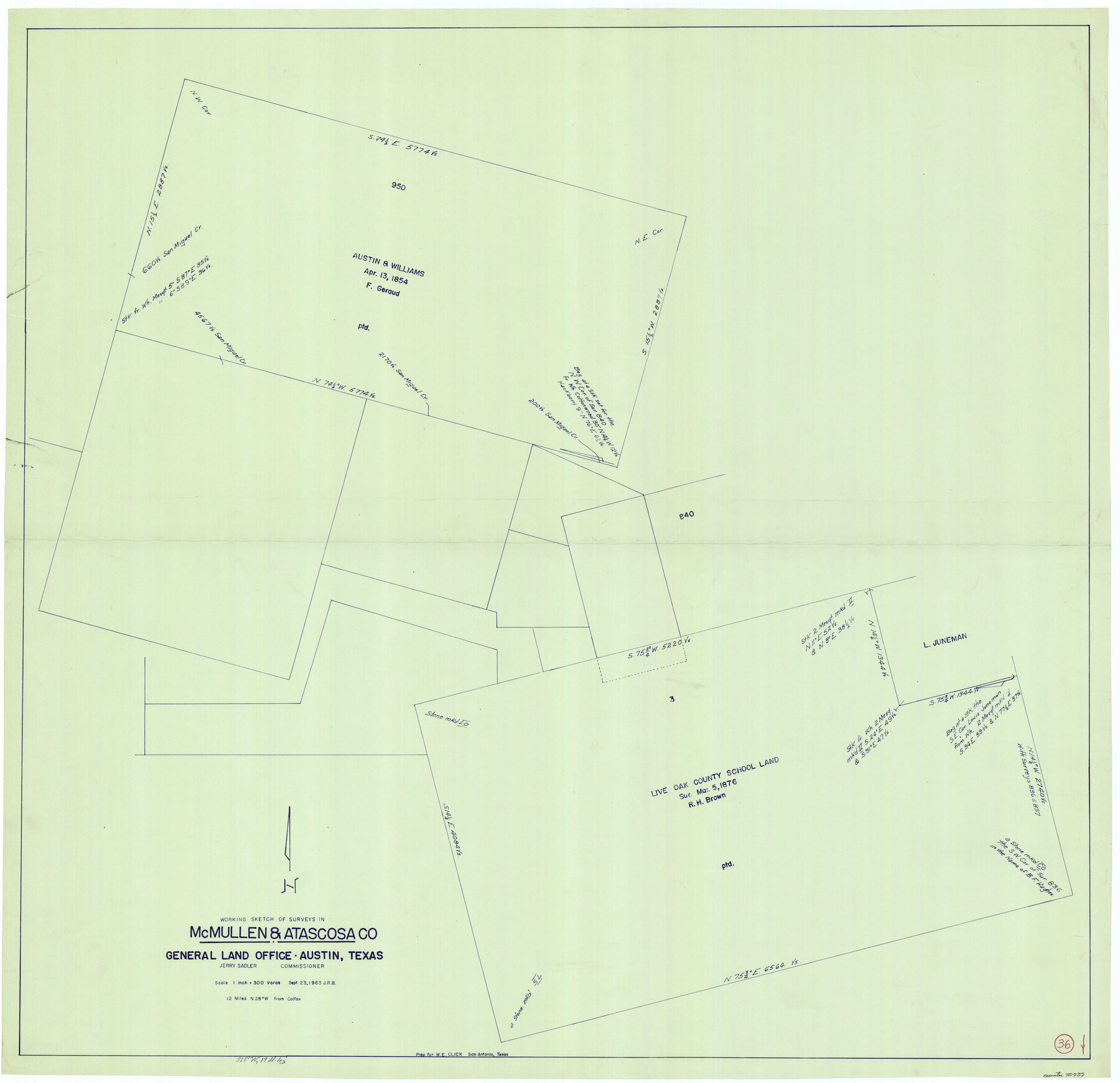
McMullen County Working Sketch 36
-
Map/Doc
70737
-
Collection
General Map Collection
-
Object Dates
9/23/1963 (Creation Date)
-
Counties
McMullen Atascosa
-
Subjects
Surveying Working Sketch
-
Height x Width
40.1 x 41.5 inches
101.9 x 105.4 cm
-
Scale
1" = 300 varas
Part of: General Map Collection
Cameron County Sketch File 15

Print $26.00
- Digital $50.00
Cameron County Sketch File 15
1999
Size 11.2 x 8.7 inches
Map/Doc 17320
Texas Intracoastal Waterway - Laguna Madre - Rincon de San Jose to Chubby Island

Print $20.00
- Digital $50.00
Texas Intracoastal Waterway - Laguna Madre - Rincon de San Jose to Chubby Island
1957
Size 39.2 x 27.1 inches
Map/Doc 73512
[F. W. & D. C. Ry. Co. Alignment and Right of Way Map, Clay County]
![64732, [F. W. & D. C. Ry. Co. Alignment and Right of Way Map, Clay County], General Map Collection](https://historictexasmaps.com/wmedia_w700/maps/64732-GC.tif.jpg)
Print $20.00
- Digital $50.00
[F. W. & D. C. Ry. Co. Alignment and Right of Way Map, Clay County]
1927
Size 18.6 x 11.8 inches
Map/Doc 64732
Coryell County Working Sketch 21

Print $20.00
- Digital $50.00
Coryell County Working Sketch 21
1973
Size 37.0 x 37.8 inches
Map/Doc 68228
Terrell County Rolled Sketch 32

Print $20.00
- Digital $50.00
Terrell County Rolled Sketch 32
Size 20.6 x 25.4 inches
Map/Doc 7938
Flight Mission No. DAG-18K, Frame 70, Matagorda County

Print $20.00
- Digital $50.00
Flight Mission No. DAG-18K, Frame 70, Matagorda County
1952
Size 16.3 x 16.2 inches
Map/Doc 86363
Presidio County Rolled Sketch 94

Print $20.00
- Digital $50.00
Presidio County Rolled Sketch 94
Size 18.1 x 24.5 inches
Map/Doc 7380
Jim Wells County Sketch File 1

Print $20.00
- Digital $50.00
Jim Wells County Sketch File 1
1931
Size 22.9 x 22.1 inches
Map/Doc 11889
Edwards County Boundary File 27 1/2

Print $58.00
- Digital $50.00
Edwards County Boundary File 27 1/2
Size 9.1 x 4.4 inches
Map/Doc 52911
Montgomery County

Print $20.00
- Digital $50.00
Montgomery County
1871
Size 21.5 x 23.9 inches
Map/Doc 4598
Upshur County

Print $20.00
- Digital $50.00
Upshur County
1945
Size 39.8 x 35.8 inches
Map/Doc 73308
Flight Mission No. BRA-9M, Frame 62, Jefferson County

Print $20.00
- Digital $50.00
Flight Mission No. BRA-9M, Frame 62, Jefferson County
1953
Size 18.7 x 22.3 inches
Map/Doc 85645
You may also like
Harrison County Rolled Sketch 10

Print $20.00
- Digital $50.00
Harrison County Rolled Sketch 10
1956
Size 33.6 x 26.1 inches
Map/Doc 6153
![91461, [Block B7], Twichell Survey Records](https://historictexasmaps.com/wmedia_w700/maps/91461-1.tif.jpg)
Brewster County Sketch File N-28

Print $40.00
- Digital $50.00
Brewster County Sketch File N-28
Size 23.4 x 24.3 inches
Map/Doc 10973
Bell County Sketch File 12

Print $4.00
- Digital $50.00
Bell County Sketch File 12
1852
Size 8.1 x 12.5 inches
Map/Doc 14385

Map of the Missouri, Kansas, & Texas Railway and Connecting Lines

Print $20.00
- Digital $50.00
Map of the Missouri, Kansas, & Texas Railway and Connecting Lines
Size 11.2 x 17.2 inches
Map/Doc 96599
Donley County Sketch File B5

Print $20.00
- Digital $50.00
Donley County Sketch File B5
1918
Size 22.5 x 18.4 inches
Map/Doc 11375
United States - Gulf Coast - Galveston to Rio Grande

Print $20.00
- Digital $50.00
United States - Gulf Coast - Galveston to Rio Grande
1940
Size 27.4 x 18.3 inches
Map/Doc 72757
Amistad International Reservoir on Rio Grande 88

Print $20.00
- Digital $50.00
Amistad International Reservoir on Rio Grande 88
1949
Size 28.5 x 40.2 inches
Map/Doc 75517

Taylor County Rolled Sketch 25

Print $20.00
- Digital $50.00
Taylor County Rolled Sketch 25
1962
Size 27.1 x 46.0 inches
Map/Doc 7917
Leon County Rolled Sketch 9

Print $40.00
- Digital $50.00
Leon County Rolled Sketch 9
1960
Size 50.1 x 35.2 inches
Map/Doc 9430