Palo Pinto County Rolled Sketch 2
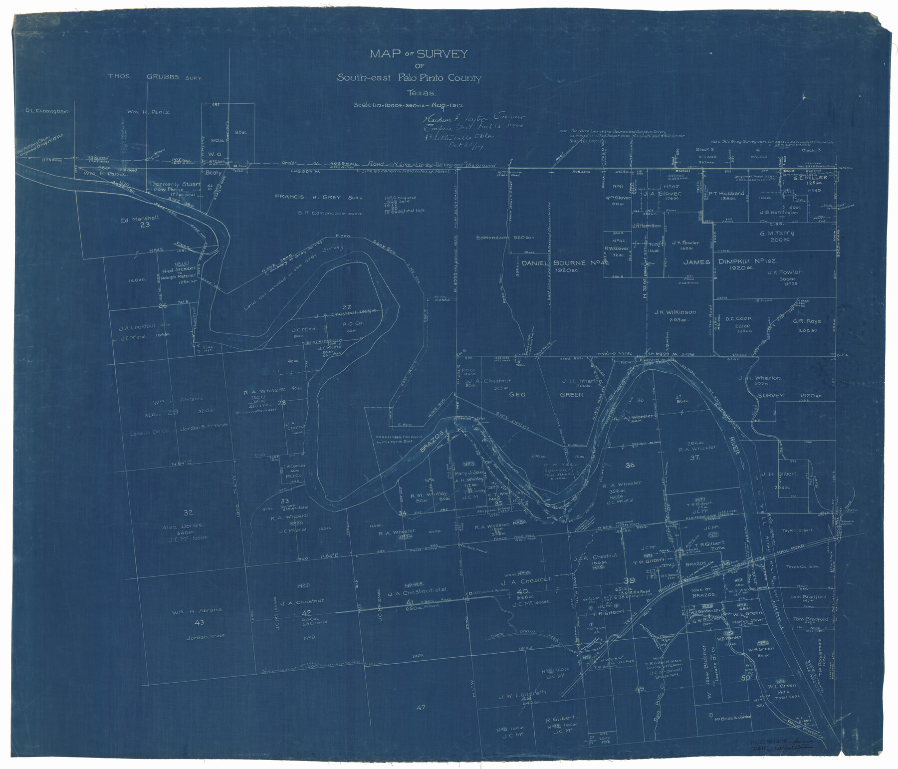
Map of survey of south-east Palo Pinto County, Texas
-
Map/Doc
9669
-
Collection
General Map Collection
-
Object Dates
1917 (Creation Date)
-
People and Organizations
Hudson F. Dayton (Surveyor/Engineer)
-
Counties
Palo Pinto
-
Subjects
Surveying Rolled Sketch
-
Height x Width
37.5 x 43.8 inches
95.3 x 111.3 cm
-
Medium
blueprint/diazo
-
Scale
1" = 360 varas
Part of: General Map Collection
Flight Mission No. DCL-7C, Frame 96, Kenedy County

Print $20.00
- Digital $50.00
Flight Mission No. DCL-7C, Frame 96, Kenedy County
1943
Size 15.4 x 15.2 inches
Map/Doc 86068
Hudspeth County Sketch File 32

Print $10.00
- Digital $50.00
Hudspeth County Sketch File 32
1952
Size 11.4 x 8.9 inches
Map/Doc 26989
[Surveys in the Bexar District along the Medina River]
![17, [Surveys in the Bexar District along the Medina River], General Map Collection](https://historictexasmaps.com/wmedia_w700/maps/17.tif.jpg)
Print $20.00
- Digital $50.00
[Surveys in the Bexar District along the Medina River]
1841
Size 16.9 x 12.7 inches
Map/Doc 17
Jim Hogg County Rolled Sketch 2

Print $20.00
- Digital $50.00
Jim Hogg County Rolled Sketch 2
Size 27.9 x 32.7 inches
Map/Doc 6438
Zavala County Sketch File 16

Print $20.00
- Digital $50.00
Zavala County Sketch File 16
1900
Size 22.9 x 16.9 inches
Map/Doc 12730

Tarrant County Sketch File 35

Print $50.00
Tarrant County Sketch File 35
2018
Size 11.0 x 8.5 inches
Map/Doc 95394
Flight Mission No. CRC-3R, Frame 104, Chambers County

Print $20.00
- Digital $50.00
Flight Mission No. CRC-3R, Frame 104, Chambers County
1956
Size 18.6 x 22.3 inches
Map/Doc 84842
Duval County Sketch File 13

Print $4.00
- Digital $50.00
Duval County Sketch File 13
1876
Size 8.5 x 10.3 inches
Map/Doc 21306
Montgomery County Rolled Sketch 28

Print $20.00
- Digital $50.00
Montgomery County Rolled Sketch 28
1942
Size 35.1 x 22.6 inches
Map/Doc 6810
Taylor County Sketch File 6

Print $40.00
- Digital $50.00
Taylor County Sketch File 6
Size 40.1 x 55.0 inches
Map/Doc 10382
Outer Continental Shelf Leasing Maps (Louisiana Offshore Operations)

Print $20.00
- Digital $50.00
Outer Continental Shelf Leasing Maps (Louisiana Offshore Operations)
1955
Size 12.4 x 12.7 inches
Map/Doc 76086
You may also like
Donley County Rolled Sketch 1

Print $20.00
- Digital $50.00
Donley County Rolled Sketch 1
1939
Size 19.6 x 15.1 inches
Map/Doc 5728
Live Oak County Sketch File 27

Print $4.00
- Digital $50.00
Live Oak County Sketch File 27
1922
Size 14.3 x 8.7 inches
Map/Doc 30312
Part of P. S. L. Blks. B-15 & B-16 - W. D. Twichell Corners

Print $20.00
- Digital $50.00
Part of P. S. L. Blks. B-15 & B-16 - W. D. Twichell Corners
1938
Size 36.7 x 24.8 inches
Map/Doc 90844

[Leagues 622, 621]
![92170, [Leagues 622, 621], Twichell Survey Records](https://historictexasmaps.com/wmedia_w700/maps/92170-1.tif.jpg)
Print $20.00
- Digital $50.00
[Leagues 622, 621]
Size 24.2 x 19.8 inches
Map/Doc 92170
Cameron County Aerial Photograph Index Sheet 6

Print $20.00
- Digital $50.00
Cameron County Aerial Photograph Index Sheet 6
1955
Size 20.6 x 14.0 inches
Map/Doc 83678
[Sketch for Mineral Application 26543 - Sabine River, D. H. Sanford]
![65678, [Sketch for Mineral Application 26543 - Sabine River, D. H. Sanford], General Map Collection](https://historictexasmaps.com/wmedia_w700/maps/65678.tif.jpg)
Print $40.00
- Digital $50.00
[Sketch for Mineral Application 26543 - Sabine River, D. H. Sanford]
1931
Size 73.0 x 30.3 inches
Map/Doc 65678
Hardeman County Sketch File 12

Print $4.00
- Digital $50.00
Hardeman County Sketch File 12
Size 12.8 x 8.3 inches
Map/Doc 25020
[Sketch to determine conflict between H. & T. C. Blk. 97 and T. & P. Ry. Co. Blk. 30]
![90139, [Sketch to determine conflict between H. & T. C. Blk. 97 and T. & P. Ry. Co. Blk. 30], Twichell Survey Records](https://historictexasmaps.com/wmedia_w700/maps/90139-1.tif.jpg)
Print $20.00
- Digital $50.00
[Sketch to determine conflict between H. & T. C. Blk. 97 and T. & P. Ry. Co. Blk. 30]
1903
Size 19.1 x 26.9 inches
Map/Doc 90139
Clay County Working Sketch 14

Print $20.00
- Digital $50.00
Clay County Working Sketch 14
1984
Size 46.9 x 34.5 inches
Map/Doc 68037
Bowie County Sketch File 8f

Print $10.00
- Digital $50.00
Bowie County Sketch File 8f
1928
Size 8.1 x 5.2 inches
Map/Doc 14902
Montague County Working Sketch 24

Print $20.00
- Digital $50.00
Montague County Working Sketch 24
1953
Size 21.9 x 27.6 inches
Map/Doc 71090