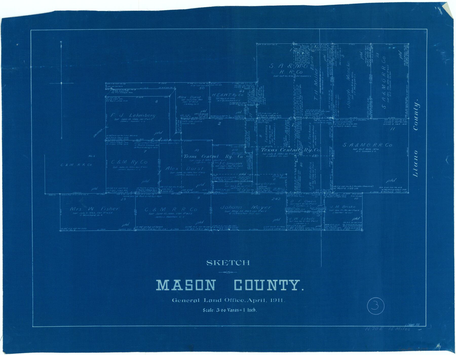
Mason County Working Sketch 3
-
Map/Doc
70839
-
Collection
General Map Collection
-
Object Dates
4/1911 (Creation Date)
-
People and Organizations
L. Ehlinger (Draftsman)
-
Counties
Mason Llano
-
Subjects
Surveying Working Sketch
-
Height x Width
17.8 x 22.9 inches
45.2 x 58.2 cm
-
Scale
1" = 500 varas
Part of: General Map Collection
Atascosa County Rolled Sketch 5B2

Print $20.00
- Digital $50.00
Atascosa County Rolled Sketch 5B2
1910
Size 16.4 x 12.5 inches
Map/Doc 5091
Newton County Sketch File 47

Print $20.00
- Digital $50.00
Newton County Sketch File 47
1932
Size 18.9 x 21.9 inches
Map/Doc 42159
Hudspeth County Sketch File 54

Print $4.00
- Digital $50.00
Hudspeth County Sketch File 54
1993
Size 8.9 x 14.2 inches
Map/Doc 27079
Fractional Township No. 9 South Range No. 11 East of the Indian Meridian, Indian Territory

Print $20.00
- Digital $50.00
Fractional Township No. 9 South Range No. 11 East of the Indian Meridian, Indian Territory
1898
Size 19.3 x 24.4 inches
Map/Doc 75220
Erath County Sketch File 28

Print $40.00
- Digital $50.00
Erath County Sketch File 28
1895
Size 16.5 x 12.0 inches
Map/Doc 22309
Wilson County Sketch File 5

Print $4.00
- Digital $50.00
Wilson County Sketch File 5
1859
Size 6.6 x 8.2 inches
Map/Doc 40408
Terrell County

Print $20.00
- Digital $50.00
Terrell County
1905
Size 41.6 x 30.9 inches
Map/Doc 63061
Marion County Rolled Sketch 4

Print $40.00
- Digital $50.00
Marion County Rolled Sketch 4
1951
Size 43.1 x 58.0 inches
Map/Doc 9491
Northeast Part Presidio County

Print $20.00
- Digital $50.00
Northeast Part Presidio County
1973
Size 41.3 x 32.4 inches
Map/Doc 73265
Hansford County Sketch File 10

Print $6.00
- Digital $50.00
Hansford County Sketch File 10
1931
Size 8.2 x 8.5 inches
Map/Doc 24969
No. 1 - Survey for a road from the Brazo Santiago to the Rio Grande

Print $20.00
- Digital $50.00
No. 1 - Survey for a road from the Brazo Santiago to the Rio Grande
1847
Size 18.3 x 27.1 inches
Map/Doc 72877
Hall County Sketch File B1

Print $20.00
- Digital $50.00
Hall County Sketch File B1
1904
Size 23.4 x 25.4 inches
Map/Doc 11612
You may also like

Archer County Working Sketch 6

Print $20.00
- Digital $50.00
Archer County Working Sketch 6
1920
Size 16.9 x 27.7 inches
Map/Doc 67146
Flight Mission No. DCL-4C, Frame 67, Kenedy County

Print $20.00
- Digital $50.00
Flight Mission No. DCL-4C, Frame 67, Kenedy County
1943
Size 18.7 x 22.3 inches
Map/Doc 85812
Nueces County Rolled Sketch 125

Print $34.00
Nueces County Rolled Sketch 125
1998
Size 18.1 x 25.0 inches
Map/Doc 7160
Gillespie County Boundary File 3a

Print $20.00
- Digital $50.00
Gillespie County Boundary File 3a
Size 24.6 x 37.6 inches
Map/Doc 53753
Amistad International Reservoir on Rio Grande 87

Print $20.00
- Digital $50.00
Amistad International Reservoir on Rio Grande 87
1949
Size 28.4 x 40.1 inches
Map/Doc 75516
Flight Mission No. CGI-4N, Frame 162, Cameron County

Print $20.00
- Digital $50.00
Flight Mission No. CGI-4N, Frame 162, Cameron County
1955
Size 18.7 x 22.5 inches
Map/Doc 84670
Mills County Working Sketch 6

Print $3.00
- Digital $50.00
Mills County Working Sketch 6
Size 12.1 x 10.9 inches
Map/Doc 71036
North Line of Lynn County and South Line of Lubbock County

Print $20.00
- Digital $50.00
North Line of Lynn County and South Line of Lubbock County
1892
Size 8.0 x 34.2 inches
Map/Doc 91393
Fisher County Working Sketch 6

Print $20.00
- Digital $50.00
Fisher County Working Sketch 6
1929
Size 38.7 x 33.6 inches
Map/Doc 69140
Val Verde County Rolled Sketch 30

Print $20.00
- Digital $50.00
Val Verde County Rolled Sketch 30
1884
Size 43.8 x 26.4 inches
Map/Doc 8111
Stonewall County Working Sketch 13

Print $20.00
- Digital $50.00
Stonewall County Working Sketch 13
1951
Size 31.9 x 33.7 inches
Map/Doc 62320