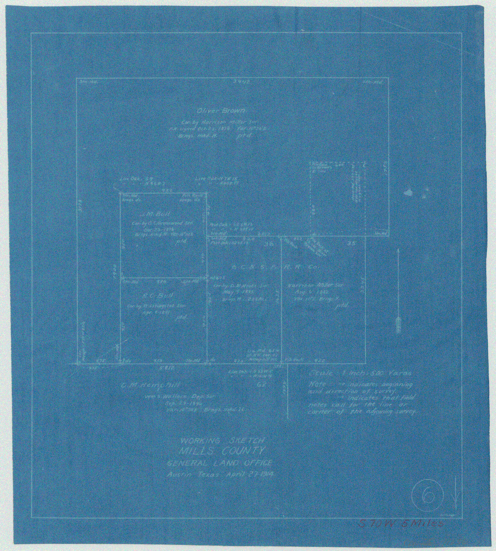
Mills County Working Sketch 6
-
Map/Doc
71036
-
Collection
General Map Collection
-
Object Dates
4/27/1914 (Donation Date)
-
Counties
Mills
-
Subjects
Surveying Working Sketch
-
Height x Width
12.1 x 10.9 inches
30.7 x 27.7 cm
-
Scale
1" = 500 varas
Part of: General Map Collection
Map of Panola County

Print $20.00
- Digital $50.00
Map of Panola County
1897
Size 39.5 x 39.1 inches
Map/Doc 66967
Flight Mission No. BQR-7K, Frame 25, Brazoria County

Print $20.00
- Digital $50.00
Flight Mission No. BQR-7K, Frame 25, Brazoria County
1952
Size 18.8 x 22.3 inches
Map/Doc 84023
Trinity County Sketch File 4

Print $24.00
- Digital $50.00
Trinity County Sketch File 4
1858
Size 8.4 x 7.7 inches
Map/Doc 38501
Presidio County Rolled Sketch 131B

Print $20.00
- Digital $50.00
Presidio County Rolled Sketch 131B
1993
Size 33.4 x 46.7 inches
Map/Doc 9803
Flight Mission No. CUG-2P, Frame 7, Kleberg County

Print $20.00
- Digital $50.00
Flight Mission No. CUG-2P, Frame 7, Kleberg County
1956
Size 18.5 x 22.3 inches
Map/Doc 86179
Brewster County Sketch File N-3c

Print $4.00
- Digital $50.00
Brewster County Sketch File N-3c
Size 12.7 x 8.4 inches
Map/Doc 15594
Webb County Working Sketch 85

Print $20.00
- Digital $50.00
Webb County Working Sketch 85
1981
Size 21.1 x 29.0 inches
Map/Doc 72452
Sterling County

Print $20.00
- Digital $50.00
Sterling County
1971
Size 44.7 x 33.4 inches
Map/Doc 73294
Map of Goliad County Texas

Print $20.00
- Digital $50.00
Map of Goliad County Texas
1879
Size 19.5 x 21.8 inches
Map/Doc 4548
New Map of that portion of North America, exhibiting the United States and Territories, the Canadas, New Brunswick, Nova Scotia and Mexico, also Central America and the West India Islands compiled from the most recent surveys and authentic sources

Print $40.00
- Digital $50.00
New Map of that portion of North America, exhibiting the United States and Territories, the Canadas, New Brunswick, Nova Scotia and Mexico, also Central America and the West India Islands compiled from the most recent surveys and authentic sources
1854
Size 59.4 x 63.0 inches
Map/Doc 93968
El Paso County Working Sketch 55

Print $20.00
- Digital $50.00
El Paso County Working Sketch 55
1992
Size 44.2 x 36.3 inches
Map/Doc 69077
Flight Mission No. CGI-1N, Frame 213, Cameron County

Print $20.00
- Digital $50.00
Flight Mission No. CGI-1N, Frame 213, Cameron County
1955
Size 18.5 x 22.2 inches
Map/Doc 84522
You may also like
Webb County Working Sketch 60

Print $20.00
- Digital $50.00
Webb County Working Sketch 60
1960
Size 43.3 x 47.8 inches
Map/Doc 72426
Live Oak County Sketch File 2

Print $4.00
- Digital $50.00
Live Oak County Sketch File 2
1856
Size 11.4 x 7.6 inches
Map/Doc 30253
Jefferson County Rolled Sketch 35

Print $20.00
- Digital $50.00
Jefferson County Rolled Sketch 35
1957
Size 37.9 x 26.0 inches
Map/Doc 6394
Map of Liberty County

Print $20.00
- Digital $50.00
Map of Liberty County
Size 27.6 x 26.2 inches
Map/Doc 91079
Bandera County Boundary File 4a

Print $32.00
- Digital $50.00
Bandera County Boundary File 4a
Size 13.3 x 8.7 inches
Map/Doc 50276
Lampasas County Sketch File 9b

Print $40.00
- Digital $50.00
Lampasas County Sketch File 9b
1873
Size 7.6 x 20.1 inches
Map/Doc 29412
Bosque County Sketch File 22

Print $4.00
- Digital $50.00
Bosque County Sketch File 22
1863
Size 13.8 x 8.5 inches
Map/Doc 14804
Newton County Working Sketch 22

Print $20.00
- Digital $50.00
Newton County Working Sketch 22
1952
Size 25.3 x 43.2 inches
Map/Doc 71268
Texas Coordinate File 1

Print $4.00
- Digital $50.00
Texas Coordinate File 1
Size 11.4 x 8.7 inches
Map/Doc 75301

The Republic County of Nacogdoches. December 29, 1845

Print $20.00
The Republic County of Nacogdoches. December 29, 1845
2020
Size 15.9 x 21.8 inches
Map/Doc 96250
Flight Mission No. BRE-1P, Frame 52, Nueces County

Print $20.00
- Digital $50.00
Flight Mission No. BRE-1P, Frame 52, Nueces County
1956
Size 18.4 x 22.0 inches
Map/Doc 86641