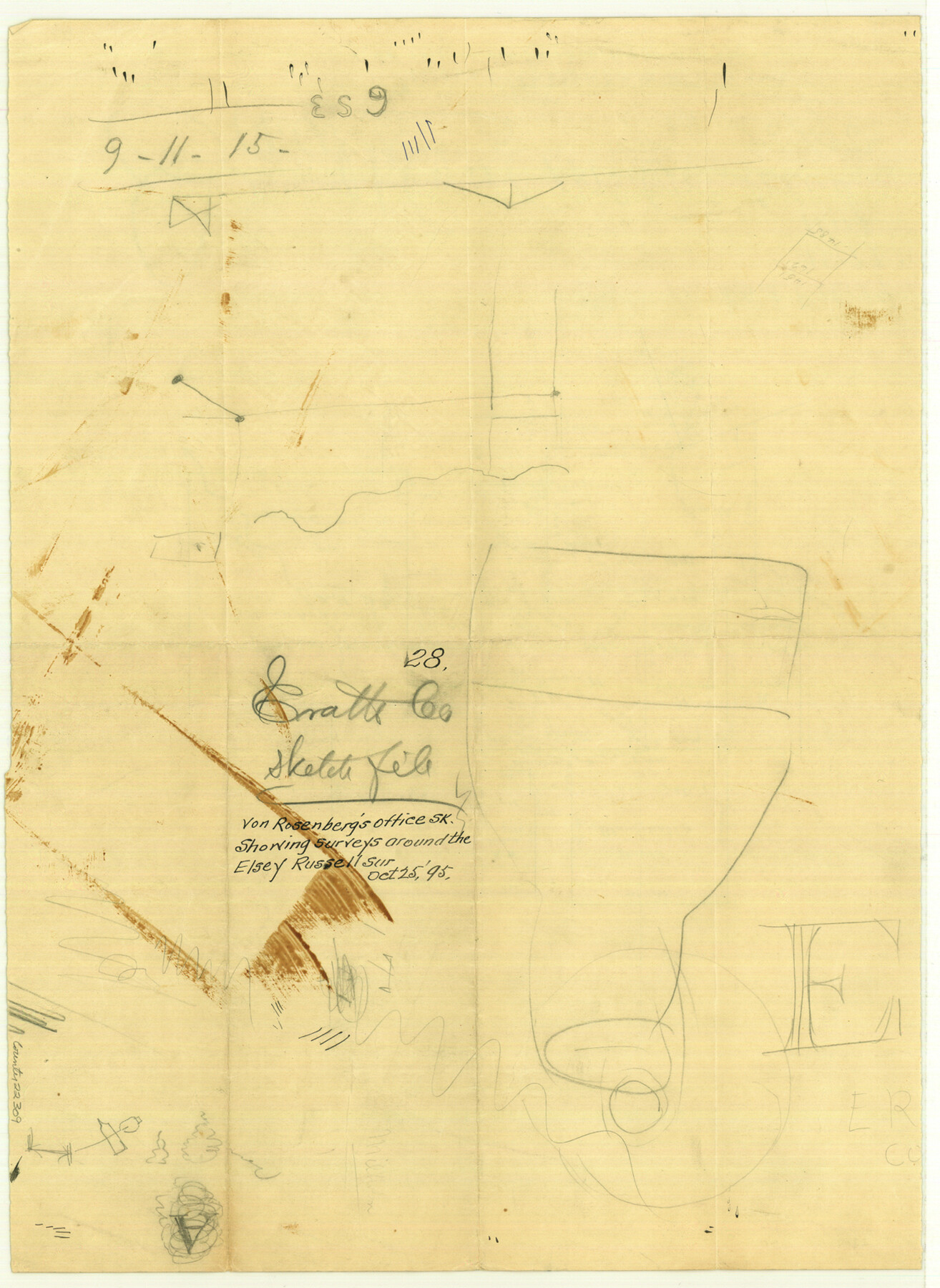
Erath County Sketch File 28
[Office sketch showing surveys around the Elsey Russell survey]
-
Map/Doc
22309
-
Collection
General Map Collection
-
Object Dates
1895/10/25 (Creation Date)
-
People and Organizations
von Rosenberg (Surveyor/Engineer)
-
Counties
Erath Eastland
-
Subjects
Surveying Sketch File
-
Height x Width
16.5 x 12.0 inches
41.9 x 30.5 cm
-
Medium
paper, manuscript
-
Features
Hog Creek
Jimeson Peak
Part of: General Map Collection
Jefferson County Sketch File 34

Print $9.00
- Digital $50.00
Jefferson County Sketch File 34
1900
Size 10.9 x 7.1 inches
Map/Doc 28203
[Map of Nacogdoches County]
![93369, [Map of Nacogdoches County], General Map Collection](https://historictexasmaps.com/wmedia_w700/maps/93369-1.tif.jpg)
Print $40.00
- Digital $50.00
[Map of Nacogdoches County]
1840
Size 79.3 x 36.8 inches
Map/Doc 93369
Flight Mission No. BRE-1P, Frame 81, Nueces County

Print $20.00
- Digital $50.00
Flight Mission No. BRE-1P, Frame 81, Nueces County
1956
Size 18.3 x 22.1 inches
Map/Doc 86663
Pecos County Rolled Sketch 176

Print $20.00
- Digital $50.00
Pecos County Rolled Sketch 176
1978
Size 14.1 x 33.6 inches
Map/Doc 7296
Cass County Working Sketch 5

Print $20.00
- Digital $50.00
Cass County Working Sketch 5
1936
Size 45.6 x 43.1 inches
Map/Doc 67908
Zapata County Sketch File 9

Print $40.00
- Digital $50.00
Zapata County Sketch File 9
1917
Size 31.8 x 49.4 inches
Map/Doc 10439
Val Verde County Rolled Sketch 71

Print $20.00
- Digital $50.00
Val Verde County Rolled Sketch 71
1958
Size 19.5 x 19.5 inches
Map/Doc 8133
Flight Mission No. BRA-8M, Frame 127, Jefferson County

Print $20.00
- Digital $50.00
Flight Mission No. BRA-8M, Frame 127, Jefferson County
1953
Size 18.6 x 22.3 inches
Map/Doc 85623
Hudspeth County Rolled Sketch 63

Print $20.00
- Digital $50.00
Hudspeth County Rolled Sketch 63
Size 41.8 x 47.9 inches
Map/Doc 9227
Lubbock County Boundary File 5

Print $2.00
- Digital $50.00
Lubbock County Boundary File 5
Size 7.2 x 8.2 inches
Map/Doc 56493
Map of Burnet Co.

Print $20.00
- Digital $50.00
Map of Burnet Co.
1887
Size 45.5 x 37.9 inches
Map/Doc 7816
Calhoun County Rolled Sketch 28B

Print $7.00
- Digital $50.00
Calhoun County Rolled Sketch 28B
1834
Size 10.5 x 15.4 inches
Map/Doc 43684
You may also like
Map of Deaf Smith Co.

Print $40.00
- Digital $50.00
Map of Deaf Smith Co.
1898
Size 42.5 x 54.6 inches
Map/Doc 16821
Freestone County Working Sketch 27

Print $20.00
- Digital $50.00
Freestone County Working Sketch 27
1986
Size 28.0 x 30.9 inches
Map/Doc 69269
English Field Notes of the Spanish Archives - Books JMH, MCMCHB, TGI

English Field Notes of the Spanish Archives - Books JMH, MCMCHB, TGI
1835
Map/Doc 96547
Trinity County Rolled Sketch 1

Print $20.00
- Digital $50.00
Trinity County Rolled Sketch 1
Size 23.0 x 34.7 inches
Map/Doc 8051
Current Miscellaneous File 45

Print $4.00
- Digital $50.00
Current Miscellaneous File 45
1954
Size 11.2 x 8.8 inches
Map/Doc 73988
Railroad Track Map, H&TCRRCo., Falls County, Texas

Print $4.00
- Digital $50.00
Railroad Track Map, H&TCRRCo., Falls County, Texas
1918
Size 11.6 x 18.6 inches
Map/Doc 62848
Cameron County Rolled Sketch 19

Print $20.00
- Digital $50.00
Cameron County Rolled Sketch 19
Size 16.1 x 11.3 inches
Map/Doc 5468
Donley County Sketch File 16

Print $4.00
- Digital $50.00
Donley County Sketch File 16
Size 14.6 x 8.8 inches
Map/Doc 21253
Kimble County Working Sketch 5

Print $20.00
- Digital $50.00
Kimble County Working Sketch 5
1915
Size 17.0 x 13.4 inches
Map/Doc 70073
Flight Mission No. DQO-11K, Frame 20, Galveston County

Print $20.00
- Digital $50.00
Flight Mission No. DQO-11K, Frame 20, Galveston County
1952
Size 18.8 x 22.4 inches
Map/Doc 85215
Jeff Davis County Rolled Sketch 38

Print $20.00
- Digital $50.00
Jeff Davis County Rolled Sketch 38
1994
Size 26.1 x 35.1 inches
Map/Doc 6381
Williamson County Working Sketch 11

Print $20.00
- Digital $50.00
Williamson County Working Sketch 11
1961
Size 37.3 x 36.2 inches
Map/Doc 72571