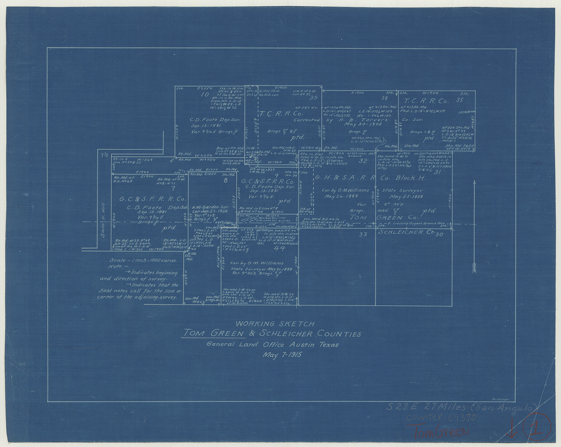
Tom Green County Working Sketch 1
-
Map/Doc
69370
-
Collection
General Map Collection
-
Object Dates
5/7/1915 (Creation Date)
-
People and Organizations
J.W. Pritchett (Draftsman)
-
Counties
Tom Green Schleicher
-
Subjects
Surveying Working Sketch
-
Height x Width
11.0 x 13.8 inches
27.9 x 35.1 cm
-
Scale
1" = 1000 varas
Part of: General Map Collection
Nueces County Rolled Sketch 32

Print $20.00
- Digital $50.00
Nueces County Rolled Sketch 32
Size 17.0 x 17.2 inches
Map/Doc 6876
San Augustine County Working Sketch 9

Print $20.00
- Digital $50.00
San Augustine County Working Sketch 9
1935
Size 41.2 x 39.7 inches
Map/Doc 63696
Flight Mission No. DQN-2K, Frame 99, Calhoun County

Print $20.00
- Digital $50.00
Flight Mission No. DQN-2K, Frame 99, Calhoun County
1953
Size 18.7 x 22.3 inches
Map/Doc 84289
Mills County Working Sketch 19

Print $20.00
- Digital $50.00
Mills County Working Sketch 19
1963
Size 18.6 x 31.2 inches
Map/Doc 71049
Webb County Working Sketch 18

Print $20.00
- Digital $50.00
Webb County Working Sketch 18
1923
Size 18.6 x 12.8 inches
Map/Doc 72383
[Sketch for Mineral Application 24072, San Jacinto River]
![65602, [Sketch for Mineral Application 24072, San Jacinto River], General Map Collection](https://historictexasmaps.com/wmedia_w700/maps/65602.tif.jpg)
Print $20.00
- Digital $50.00
[Sketch for Mineral Application 24072, San Jacinto River]
1929
Size 23.3 x 18.4 inches
Map/Doc 65602
Aransas County Rolled Sketch 19

Print $20.00
- Digital $50.00
Aransas County Rolled Sketch 19
1979
Size 24.8 x 36.7 inches
Map/Doc 82559
Index sheet to accompany map of survey for connecting the inland waters along margin of the Gulf of Mexico from Donaldsonville in Louisiana to the Rio Grande River in Texas

Print $20.00
- Digital $50.00
Index sheet to accompany map of survey for connecting the inland waters along margin of the Gulf of Mexico from Donaldsonville in Louisiana to the Rio Grande River in Texas
Size 18.2 x 27.4 inches
Map/Doc 72690
Fayette County

Print $40.00
- Digital $50.00
Fayette County
1920
Size 42.7 x 49.8 inches
Map/Doc 4945
Val Verde County Rolled Sketch 70

Print $20.00
- Digital $50.00
Val Verde County Rolled Sketch 70
1958
Size 23.2 x 18.8 inches
Map/Doc 8132
Kerr County Sketch File 8

Print $4.00
- Digital $50.00
Kerr County Sketch File 8
1882
Size 12.6 x 8.1 inches
Map/Doc 28871
Zavala County Sketch File 9

Print $20.00
- Digital $50.00
Zavala County Sketch File 9
1884
Size 29.1 x 15.9 inches
Map/Doc 12727
You may also like
Sketch showing progress of topographical work Laguna Madre and vicinity from Rainey Is. to Baffins Bay, Coast of Texas Sect. IX [and accompanying letter]
![72957, Sketch showing progress of topographical work Laguna Madre and vicinity from Rainey Is. to Baffins Bay, Coast of Texas Sect. IX [and accompanying letter], General Map Collection](https://historictexasmaps.com/wmedia_w700/maps/72957.tif.jpg)
Print $20.00
- Digital $50.00
Sketch showing progress of topographical work Laguna Madre and vicinity from Rainey Is. to Baffins Bay, Coast of Texas Sect. IX [and accompanying letter]
1880
Size 39.2 x 18.6 inches
Map/Doc 72957
Bird's Eye View of Bastrop, Bastrop County, Texas

Print $20.00
Bird's Eye View of Bastrop, Bastrop County, Texas
1887
Size 18.8 x 25.7 inches
Map/Doc 89073

Nolan County Rolled Sketch 3

Print $20.00
- Digital $50.00
Nolan County Rolled Sketch 3
Size 27.9 x 26.2 inches
Map/Doc 6864
J.H. Clark's Report of 1861 - Boundary Between Texas and New Mexico

Print $78.00
J.H. Clark's Report of 1861 - Boundary Between Texas and New Mexico
1861
Map/Doc 81689
Nueces County Sketch File 22

Print $20.00
- Digital $50.00
Nueces County Sketch File 22
Size 19.0 x 31.0 inches
Map/Doc 42181
Maps of Gulf Intracoastal Waterway, Texas - Sabine River to the Rio Grande and connecting waterways including ship channels

Print $20.00
- Digital $50.00
Maps of Gulf Intracoastal Waterway, Texas - Sabine River to the Rio Grande and connecting waterways including ship channels
1966
Size 14.6 x 22.3 inches
Map/Doc 61930
Colton's Map of United States, the Canadas & c. showing the Railraods, Canals & Stage Roads with distances from place to place

Print $20.00
- Digital $50.00
Colton's Map of United States, the Canadas & c. showing the Railraods, Canals & Stage Roads with distances from place to place
Size 28.8 x 33.0 inches
Map/Doc 93983
Sketch of a reconnaissance of Aransas and Corpus Christi Bays

Print $20.00
- Digital $50.00
Sketch of a reconnaissance of Aransas and Corpus Christi Bays
1855
Size 25.5 x 18.2 inches
Map/Doc 72968
Reagan County Rolled Sketch 33

Print $40.00
- Digital $50.00
Reagan County Rolled Sketch 33
Size 32.0 x 48.0 inches
Map/Doc 9828
Jefferson County Rolled Sketch 60

Print $20.00
- Digital $50.00
Jefferson County Rolled Sketch 60
1885
Size 31.0 x 35.6 inches
Map/Doc 9315
