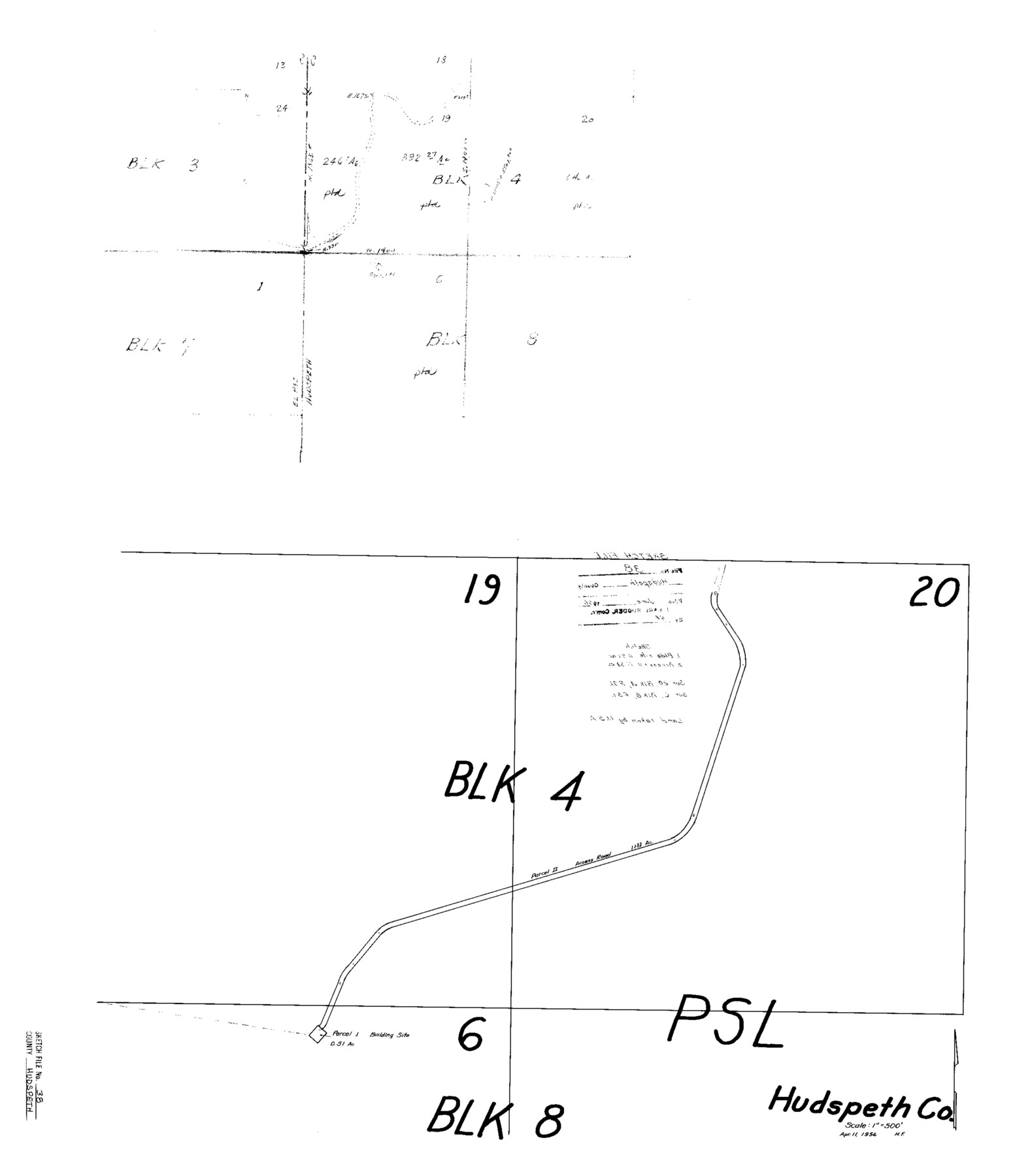
Hudspeth County Sketch File 38
Bldg. site, Access rd. sur. 20, Blk. 4, PSL, sur. 6, Blk. 8, PSL
-
Map/Doc
11806
-
Collection
General Map Collection
-
Object Dates
6/1956 (File Date)
4/11/1936 (Survey Date)
-
People and Organizations
H.F. (Draftsman)
-
Counties
Hudspeth
-
Subjects
Surveying Sketch File
-
Height x Width
27.5 x 24.1 inches
69.9 x 61.2 cm
-
Medium
paper, print
-
Scale
1:500
-
Features
Access Road
Part of: General Map Collection
Leon County Working Sketch 39

Print $20.00
- Digital $50.00
Leon County Working Sketch 39
1980
Size 35.1 x 42.2 inches
Map/Doc 70438
Leon County Working Sketch 10

Print $20.00
- Digital $50.00
Leon County Working Sketch 10
1951
Size 21.5 x 17.3 inches
Map/Doc 70409
Kimble County Working Sketch 27

Print $20.00
- Digital $50.00
Kimble County Working Sketch 27
1934
Size 16.1 x 17.3 inches
Map/Doc 70095
Liberty County Working Sketch 91b

Print $40.00
- Digital $50.00
Liberty County Working Sketch 91b
1919
Size 48.7 x 42.1 inches
Map/Doc 65458
[Gulf Coast portion of] Map of the State of Texas
![72707, [Gulf Coast portion of] Map of the State of Texas, General Map Collection](https://historictexasmaps.com/wmedia_w700/maps/72707.tif.jpg)
Print $20.00
- Digital $50.00
[Gulf Coast portion of] Map of the State of Texas
1865
Size 27.4 x 18.1 inches
Map/Doc 72707

Mitchell County Sketch File 16b

Print $20.00
- Digital $50.00
Mitchell County Sketch File 16b
Size 28.7 x 36.8 inches
Map/Doc 10545
Flight Mission No. DAG-17K, Frame 65, Matagorda County

Print $20.00
- Digital $50.00
Flight Mission No. DAG-17K, Frame 65, Matagorda County
1952
Size 17.5 x 16.1 inches
Map/Doc 86327
Crosby County Sketch File 14a

Print $40.00
- Digital $50.00
Crosby County Sketch File 14a
Size 18.9 x 20.5 inches
Map/Doc 11249
Harrison County Sketch File 13

Print $20.00
- Digital $50.00
Harrison County Sketch File 13
1907
Size 15.2 x 19.0 inches
Map/Doc 11688
Flight Mission No. CRK-3P, Frame 68, Refugio County

Print $20.00
- Digital $50.00
Flight Mission No. CRK-3P, Frame 68, Refugio County
1956
Size 18.7 x 22.5 inches
Map/Doc 86910
Val Verde County Sketch File 35

Print $23.00
- Digital $50.00
Val Verde County Sketch File 35
1937
Size 15.3 x 9.4 inches
Map/Doc 12574
You may also like
Gulf of Mexico

Print $20.00
- Digital $50.00
Gulf of Mexico
1905
Size 18.3 x 26.8 inches
Map/Doc 72653
Irion County Rolled Sketch 18

Print $20.00
- Digital $50.00
Irion County Rolled Sketch 18
1956
Size 30.5 x 26.3 inches
Map/Doc 6326
Edwards County Working Sketch 5

Print $20.00
- Digital $50.00
Edwards County Working Sketch 5
1907
Size 14.9 x 23.4 inches
Map/Doc 68881
Webb County Sketch File 9-1

Print $20.00
- Digital $50.00
Webb County Sketch File 9-1
1879
Size 15.8 x 15.7 inches
Map/Doc 12622
Flight Mission No. DQN-6K, Frame 69, Calhoun County

Print $20.00
- Digital $50.00
Flight Mission No. DQN-6K, Frame 69, Calhoun County
1953
Size 18.6 x 22.1 inches
Map/Doc 84441
Flight Mission No. DAH-17M, Frame 30, Orange County

Print $20.00
- Digital $50.00
Flight Mission No. DAH-17M, Frame 30, Orange County
1953
Size 18.7 x 22.5 inches
Map/Doc 86893
General Highway Map, Williamson County, Texas

Print $20.00
General Highway Map, Williamson County, Texas
1961
Size 24.8 x 18.2 inches
Map/Doc 79712
Flight Mission No. BQY-4M, Frame 38, Harris County

Print $20.00
- Digital $50.00
Flight Mission No. BQY-4M, Frame 38, Harris County
1953
Size 18.6 x 22.4 inches
Map/Doc 85253
Dallas County Boundary File 5

Print $120.00
- Digital $50.00
Dallas County Boundary File 5
Size 11.5 x 72.2 inches
Map/Doc 52160
Reagan County Working Sketch 32

Print $20.00
- Digital $50.00
Reagan County Working Sketch 32
1965
Size 43.9 x 37.1 inches
Map/Doc 71874
El Paso County Working Sketch 39

Print $20.00
- Digital $50.00
El Paso County Working Sketch 39
1984
Size 45.7 x 37.1 inches
Map/Doc 69061
[Surveys in Austin's Colony along the east bank of Mill Creek]
![216, [Surveys in Austin's Colony along the east bank of Mill Creek], General Map Collection](https://historictexasmaps.com/wmedia_w700/maps/216.tif.jpg)
Print $3.00
- Digital $50.00
[Surveys in Austin's Colony along the east bank of Mill Creek]
1827
Size 14.4 x 11.1 inches
Map/Doc 216