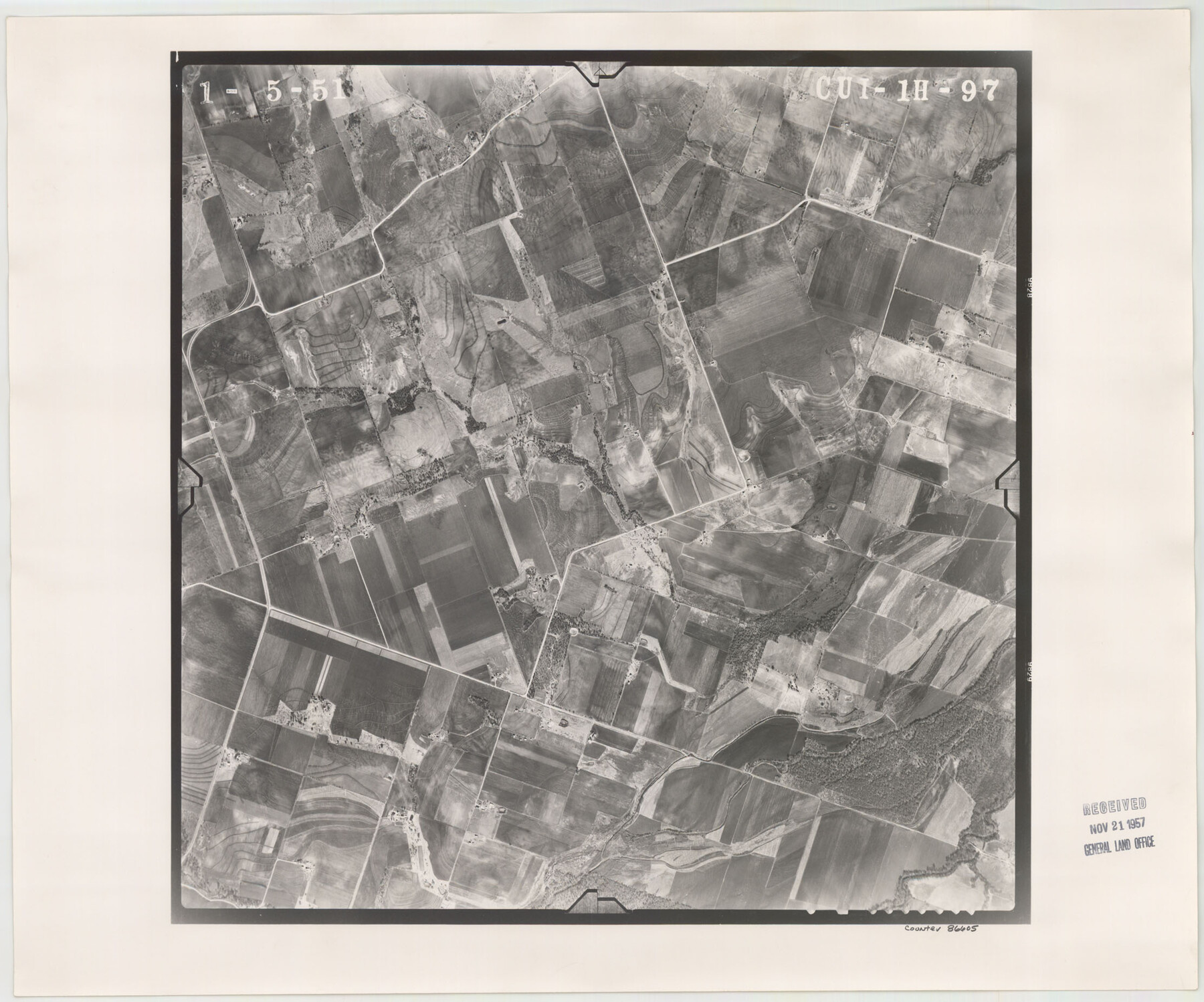
Flight Mission No. CUI-1H, Frame 97, Milam County
CUI-1H-97
-
Map/Doc
86605
-
Collection
General Map Collection
-
Object Dates
1951/1/5 (Creation Date)
-
People and Organizations
U. S. Department of Agriculture (Publisher)
-
Counties
Milam
-
Subjects
Aerial Photograph
-
Height x Width
18.5 x 22.2 inches
47.0 x 56.4 cm
-
Comments
Flown by Robinson Aerial Surveys, Inc. of Newark 7 , New Jersey.
Part of: General Map Collection
Trinity County Boundary File 88

Print $42.00
- Digital $50.00
Trinity County Boundary File 88
Size 9.2 x 4.1 inches
Map/Doc 59475
Kerr County Working Sketch Graphic Index

Print $40.00
- Digital $50.00
Kerr County Working Sketch Graphic Index
1923
Size 40.4 x 55.9 inches
Map/Doc 76605
Kimble County Working Sketch Graphic Index, Sheet 1 (Sketches 1 to 46)

Print $40.00
- Digital $50.00
Kimble County Working Sketch Graphic Index, Sheet 1 (Sketches 1 to 46)
1930
Size 41.2 x 49.6 inches
Map/Doc 76606

Old Miscellaneous File 14

Print $4.00
- Digital $50.00
Old Miscellaneous File 14
1898
Size 11.2 x 8.6 inches
Map/Doc 75449
C No. 2 - Preliminary Sketch of Chincoteague Inlet and Shoals in the Vicinity - Sea Coast of Virginia

Print $20.00
- Digital $50.00
C No. 2 - Preliminary Sketch of Chincoteague Inlet and Shoals in the Vicinity - Sea Coast of Virginia
1852
Size 16.5 x 19.4 inches
Map/Doc 97206
Intracoastal Waterway in Texas - Corpus Christi to Point Isabel including Arroyo Colorado to Mo. Pac. R.R. Bridge Near Harlingen

Print $20.00
- Digital $50.00
Intracoastal Waterway in Texas - Corpus Christi to Point Isabel including Arroyo Colorado to Mo. Pac. R.R. Bridge Near Harlingen
1933
Size 28.1 x 40.8 inches
Map/Doc 61876
Morris County Rolled Sketch 2A

Print $20.00
- Digital $50.00
Morris County Rolled Sketch 2A
Size 33.5 x 22.8 inches
Map/Doc 10263
A Map of the Indian Territory, Northern Texas and New Mexico Showing the Great Western Prairies

Print $20.00
- Digital $50.00
A Map of the Indian Territory, Northern Texas and New Mexico Showing the Great Western Prairies
1844
Size 14.0 x 17.6 inches
Map/Doc 95700
Pecos County Rolled Sketch 35

Print $20.00
- Digital $50.00
Pecos County Rolled Sketch 35
Size 33.2 x 38.1 inches
Map/Doc 9693
Flight Mission No. BRA-7M, Frame 147, Jefferson County

Print $20.00
- Digital $50.00
Flight Mission No. BRA-7M, Frame 147, Jefferson County
1953
Size 16.2 x 15.9 inches
Map/Doc 85541
Map of City of Fort Worth, Texas

Print $20.00
- Digital $50.00
Map of City of Fort Worth, Texas
1934
Size 32.9 x 39.2 inches
Map/Doc 4839
You may also like

Morris County Rolled Sketch 2A

Print $20.00
- Digital $50.00
Morris County Rolled Sketch 2A
Size 24.4 x 19.3 inches
Map/Doc 10266
Dickens County Sketch File GW1

Print $20.00
- Digital $50.00
Dickens County Sketch File GW1
1911
Size 31.5 x 24.4 inches
Map/Doc 11334
Pecos County Rolled Sketch 117

Print $40.00
- Digital $50.00
Pecos County Rolled Sketch 117
1944
Size 44.6 x 52.6 inches
Map/Doc 9722

Flight Mission No. DIX-3P, Frame 133, Aransas County

Print $20.00
- Digital $50.00
Flight Mission No. DIX-3P, Frame 133, Aransas County
1956
Size 17.8 x 21.1 inches
Map/Doc 83763
The Continent and Islands of the West Indies

Print $20.00
The Continent and Islands of the West Indies
1804
Size 22.8 x 26.0 inches
Map/Doc 79318
Val Verde County Rolled Sketch 66

Print $40.00
- Digital $50.00
Val Verde County Rolled Sketch 66
1957
Size 30.7 x 55.0 inches
Map/Doc 10084
Right of Way and Track Map Houston & Texas Central R.R. operated by the T. & N.O. R.R. Co., Austin Branch

Print $40.00
- Digital $50.00
Right of Way and Track Map Houston & Texas Central R.R. operated by the T. & N.O. R.R. Co., Austin Branch
1918
Size 25.6 x 57.8 inches
Map/Doc 64555
Greer County Sketch File 9

Print $6.00
- Digital $50.00
Greer County Sketch File 9
Size 15.9 x 11.4 inches
Map/Doc 24528
Cooke County Sketch File 7

Print $8.00
- Digital $50.00
Cooke County Sketch File 7
1855
Size 10.8 x 8.3 inches
Map/Doc 19231
Hunt County Boundary File 5

Print $6.00
- Digital $50.00
Hunt County Boundary File 5
Size 11.2 x 8.9 inches
Map/Doc 55222