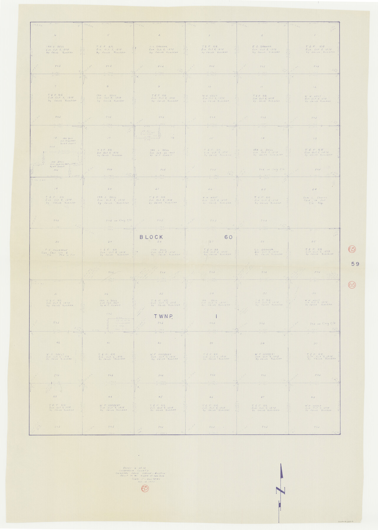
Culberson County Working Sketch 65
-
Map/Doc
68519
-
Collection
General Map Collection
-
Object Dates
11/18/1975 (Creation Date)
-
Counties
Culberson
-
Subjects
Surveying Working Sketch
-
Height x Width
49.0 x 34.9 inches
124.5 x 88.7 cm
-
Scale
1" = 400 varas
Part of: General Map Collection
Map of Permanent Lakes & Marshes in Calhoun, Victoria & Jackson Counties for Mineral Development

Print $20.00
- Digital $50.00
Map of Permanent Lakes & Marshes in Calhoun, Victoria & Jackson Counties for Mineral Development
1937
Size 31.3 x 37.2 inches
Map/Doc 3021
Concho County Sketch File 27

Print $8.00
- Digital $50.00
Concho County Sketch File 27
1885
Size 11.3 x 8.8 inches
Map/Doc 19162
G. C. & S. F. Ry. Northern-Division, Alignment and Right of Way Map, Weatherford Branch, Johnson and Hood Counties, Texas

Print $40.00
- Digital $50.00
G. C. & S. F. Ry. Northern-Division, Alignment and Right of Way Map, Weatherford Branch, Johnson and Hood Counties, Texas
1935
Size 37.8 x 100.5 inches
Map/Doc 64649
Flight Mission No. CRC-2R, Frame 200, Chambers County

Print $20.00
- Digital $50.00
Flight Mission No. CRC-2R, Frame 200, Chambers County
1956
Size 18.8 x 22.4 inches
Map/Doc 84778
Jefferson County Rolled Sketch 36

Print $20.00
- Digital $50.00
Jefferson County Rolled Sketch 36
1957
Size 41.1 x 29.1 inches
Map/Doc 6395
Trinity County Sketch File 29

Print $20.00
- Digital $50.00
Trinity County Sketch File 29
1859
Size 18.1 x 37.1 inches
Map/Doc 12488
Wichita County Sketch File 4

Print $20.00
- Digital $50.00
Wichita County Sketch File 4
1856
Size 9.8 x 33.2 inches
Map/Doc 76764
Hudspeth County Rolled Sketch 58

Print $20.00
- Digital $50.00
Hudspeth County Rolled Sketch 58
Size 31.4 x 32.6 inches
Map/Doc 6258
Kinney County Working Sketch 50

Print $20.00
- Digital $50.00
Kinney County Working Sketch 50
1980
Size 19.4 x 26.9 inches
Map/Doc 70232
Map of Hutchinson County

Print $20.00
- Digital $50.00
Map of Hutchinson County
1898
Size 41.0 x 35.4 inches
Map/Doc 16856
Foard County Sketch File 6

Print $4.00
- Digital $50.00
Foard County Sketch File 6
1875
Size 10.2 x 8.4 inches
Map/Doc 22808
Aransas County Sketch File 1

Print $4.00
- Digital $50.00
Aransas County Sketch File 1
Size 7.5 x 5.3 inches
Map/Doc 13098
You may also like
Drum, Oyster and Bastrop Bays and Vicinity; Brazoria County, showing Subdivision for Mineral Development

Print $20.00
- Digital $50.00
Drum, Oyster and Bastrop Bays and Vicinity; Brazoria County, showing Subdivision for Mineral Development
1949
Size 35.4 x 45.4 inches
Map/Doc 1908
Liberty County

Print $20.00
- Digital $50.00
Liberty County
1862
Size 24.3 x 24.8 inches
Map/Doc 3815
Block 15, Willona Village, Addition to City of Lubbock, Out SW Corner of SE/4, Section 2, Blk E, George Soash, Owner

Print $20.00
- Digital $50.00
Block 15, Willona Village, Addition to City of Lubbock, Out SW Corner of SE/4, Section 2, Blk E, George Soash, Owner
1953
Size 18.2 x 23.1 inches
Map/Doc 92772
Cottle County Working Sketch 21

Print $20.00
- Digital $50.00
Cottle County Working Sketch 21
1982
Size 37.0 x 46.6 inches
Map/Doc 68331
Kent County Working Sketch 14

Print $20.00
- Digital $50.00
Kent County Working Sketch 14
1965
Size 28.2 x 35.4 inches
Map/Doc 70021
Flight Mission No. DQN-1K, Frame 132, Calhoun County

Print $20.00
- Digital $50.00
Flight Mission No. DQN-1K, Frame 132, Calhoun County
1953
Size 18.4 x 22.1 inches
Map/Doc 84195
Medina County Working Sketch 1

Print $20.00
- Digital $50.00
Medina County Working Sketch 1
1915
Size 14.2 x 14.2 inches
Map/Doc 70916
Current Miscellaneous File 112

Print $138.00
- Digital $50.00
Current Miscellaneous File 112
Size 11.3 x 8.7 inches
Map/Doc 74718
Marion County Rolled Sketch 9A

Print $20.00
- Digital $50.00
Marion County Rolled Sketch 9A
2001
Size 22.9 x 22.9 inches
Map/Doc 76419
Flight Mission No. BRE-1P, Frame 116, Nueces County

Print $20.00
- Digital $50.00
Flight Mission No. BRE-1P, Frame 116, Nueces County
1956
Size 18.6 x 22.5 inches
Map/Doc 86682
Bowie County Sketch File 7

Print $40.00
- Digital $50.00
Bowie County Sketch File 7
1927
Size 18.0 x 35.5 inches
Map/Doc 10943
Presidio County Rolled Sketch 54

Print $20.00
- Digital $50.00
Presidio County Rolled Sketch 54
1913
Size 17.1 x 18.5 inches
Map/Doc 7348