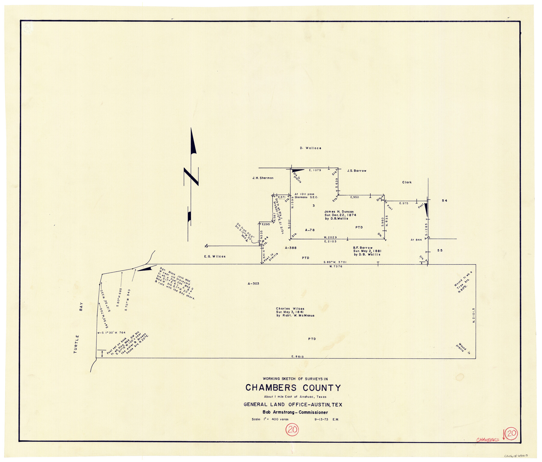
Chambers County Working Sketch 20
-
Map/Doc
68003
-
Collection
General Map Collection
-
Object Dates
9/13/1973 (Creation Date)
-
Counties
Chambers
-
Subjects
Surveying Working Sketch
-
Height x Width
25.8 x 30.2 inches
65.5 x 76.7 cm
-
Scale
1" = 400 varas
Part of: General Map Collection
Newton County Sketch File 37

Print $6.00
- Digital $50.00
Newton County Sketch File 37
Size 16.2 x 10.7 inches
Map/Doc 32415
Garza County Sketch File J

Print $20.00
- Digital $50.00
Garza County Sketch File J
1911
Size 26.5 x 7.5 inches
Map/Doc 11555
Kent County Working Sketch 7

Print $20.00
- Digital $50.00
Kent County Working Sketch 7
1952
Size 32.7 x 23.7 inches
Map/Doc 70014

McLennan County Sketch File 6

Print $4.00
- Digital $50.00
McLennan County Sketch File 6
1850
Size 7.2 x 7.9 inches
Map/Doc 31244
Castro County Sketch File 4g

Print $4.00
- Digital $50.00
Castro County Sketch File 4g
Size 12.0 x 8.9 inches
Map/Doc 17477
Clay County Sketch File 32

Print $22.00
- Digital $50.00
Clay County Sketch File 32
Size 8.6 x 7.8 inches
Map/Doc 18458
Colorado County Sketch File 30

Print $14.00
- Digital $50.00
Colorado County Sketch File 30
1943
Size 14.1 x 8.6 inches
Map/Doc 18977
Kimble County Rolled Sketch 32

Print $20.00
- Digital $50.00
Kimble County Rolled Sketch 32
1973
Size 23.1 x 19.6 inches
Map/Doc 6522

Texas Intracoastal Waterway - Laguna Madre - Dagger Hill to Potrero Grande

Print $20.00
- Digital $50.00
Texas Intracoastal Waterway - Laguna Madre - Dagger Hill to Potrero Grande
1960
Size 38.3 x 27.0 inches
Map/Doc 73511
Brazoria County Rolled Sketch 21A

Print $20.00
- Digital $50.00
Brazoria County Rolled Sketch 21A
Size 38.6 x 33.2 inches
Map/Doc 8926
You may also like
Hidalgo County Working Sketch 6

Print $20.00
- Digital $50.00
Hidalgo County Working Sketch 6
1960
Size 21.4 x 20.4 inches
Map/Doc 66183
Pecos County Rolled Sketch 82

Print $20.00
- Digital $50.00
Pecos County Rolled Sketch 82
1930
Size 28.3 x 25.8 inches
Map/Doc 10191
John B. Slaughter Ranch Situated in Garza County, Texas

Print $20.00
- Digital $50.00
John B. Slaughter Ranch Situated in Garza County, Texas
Size 33.2 x 45.1 inches
Map/Doc 92658
Wheeler County Sketch File 2

Print $26.00
- Digital $50.00
Wheeler County Sketch File 2
1881
Size 19.0 x 7.9 inches
Map/Doc 39994
Lynn County Working Sketch 3

Print $20.00
- Digital $50.00
Lynn County Working Sketch 3
1953
Size 30.8 x 30.9 inches
Map/Doc 70673
Tarrant County Working Sketch 10

Print $40.00
- Digital $50.00
Tarrant County Working Sketch 10
1986
Size 29.4 x 58.0 inches
Map/Doc 62427
Gaines County Rolled Sketch 24

Print $20.00
- Digital $50.00
Gaines County Rolled Sketch 24
1965
Size 41.8 x 31.3 inches
Map/Doc 9314
Wise County Boundary File 96

Print $50.00
- Digital $50.00
Wise County Boundary File 96
Size 9.2 x 3.8 inches
Map/Doc 60130
Crockett County Sketch File 63

Print $4.00
- Digital $50.00
Crockett County Sketch File 63
1927
Size 11.0 x 8.8 inches
Map/Doc 19851
Ladonia, Fannin County, Texas

Print $20.00
Ladonia, Fannin County, Texas
1891
Size 12.3 x 22.3 inches
Map/Doc 93475
Pecos County Working Sketch 70

Print $20.00
- Digital $50.00
Pecos County Working Sketch 70
1957
Size 31.4 x 27.0 inches
Map/Doc 71542
Calhoun County Rolled Sketch 14

Print $20.00
- Digital $50.00
Calhoun County Rolled Sketch 14
Size 22.3 x 40.8 inches
Map/Doc 5456