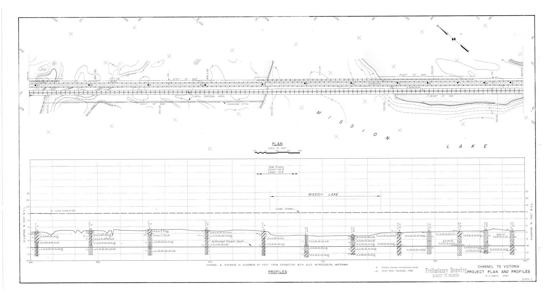
Calhoun County Rolled Sketch 14
Channel to Victoria - Project plan and profiles in 10 sheets [Sheet 4]
-
Map/Doc
5456
-
Collection
General Map Collection
-
Counties
Calhoun
-
Subjects
Surveying Rolled Sketch
-
Height x Width
22.3 x 40.8 inches
56.6 x 103.6 cm
-
Medium
blueprint/diazo
-
Comments
See Calhoun County Sketch File 16 (35982) for correspondence.
Related maps
Calhoun County Sketch File 16

Print $4.00
- Digital $50.00
Calhoun County Sketch File 16
1954
Size 10.7 x 8.3 inches
Map/Doc 35982
Part of: General Map Collection
Jeff Davis County Sketch File 30

Print $26.00
- Digital $50.00
Jeff Davis County Sketch File 30
1922
Size 14.1 x 8.5 inches
Map/Doc 28014
Flight Mission No. BRE-2P, Frame 138, Nueces County

Print $20.00
- Digital $50.00
Flight Mission No. BRE-2P, Frame 138, Nueces County
1956
Size 18.5 x 22.2 inches
Map/Doc 86811
Nueces County Rolled Sketch 83

Print $40.00
- Digital $50.00
Nueces County Rolled Sketch 83
1973
Size 20.1 x 48.7 inches
Map/Doc 9629
Tom Green County Rolled Sketch 12A

Print $40.00
- Digital $50.00
Tom Green County Rolled Sketch 12A
1951
Size 42.9 x 50.4 inches
Map/Doc 10003
[Map of Hidalgo County]
![6207, [Map of Hidalgo County], General Map Collection](https://historictexasmaps.com/wmedia_w700/maps/6207.tif.jpg)
Print $20.00
- Digital $50.00
[Map of Hidalgo County]
1882
Size 26.0 x 19.9 inches
Map/Doc 6207
Map of Texas Gulf Coast and Texas Continental Shelf showing Natural Gas Pipe Lines

Print $40.00
- Digital $50.00
Map of Texas Gulf Coast and Texas Continental Shelf showing Natural Gas Pipe Lines
1966
Size 39.6 x 57.0 inches
Map/Doc 75902
Runnels County

Print $40.00
- Digital $50.00
Runnels County
1948
Size 49.4 x 38.7 inches
Map/Doc 63010
Howard County Working Sketch 3

Print $20.00
- Digital $50.00
Howard County Working Sketch 3
1904
Size 26.8 x 20.1 inches
Map/Doc 66269
Andrews County Working Sketch 2

Print $20.00
- Digital $50.00
Andrews County Working Sketch 2
1949
Size 23.2 x 23.7 inches
Map/Doc 67048
Leon County Rolled Sketch 23

Print $20.00
- Digital $50.00
Leon County Rolled Sketch 23
1981
Size 33.6 x 40.7 inches
Map/Doc 6609
[Surveys in the San Patricio District along the West Aransas River]
![3181, [Surveys in the San Patricio District along the West Aransas River], General Map Collection](https://historictexasmaps.com/wmedia_w700/maps/3181.tif.jpg)
Print $2.00
- Digital $50.00
[Surveys in the San Patricio District along the West Aransas River]
1841
Size 16.1 x 8.3 inches
Map/Doc 3181
Hardeman County Sketch File 2

Print $6.00
- Digital $50.00
Hardeman County Sketch File 2
1879
Size 9.0 x 7.7 inches
Map/Doc 24984
You may also like
[Part of H. & G. N. Blocks 2 and D-13]
![90490, [Part of H. & G. N. Blocks 2 and D-13], Twichell Survey Records](https://historictexasmaps.com/wmedia_w700/maps/90490-1.tif.jpg)
Print $20.00
- Digital $50.00
[Part of H. & G. N. Blocks 2 and D-13]
1907
Size 14.1 x 17.7 inches
Map/Doc 90490
Comal County State Real Property Sketch 1

Print $134.00
- Digital $50.00
Comal County State Real Property Sketch 1
2006
Size 23.8 x 35.4 inches
Map/Doc 88635
Capitol Syndicate Subdivision of Capitol Land Reservation Leagues

Print $20.00
- Digital $50.00
Capitol Syndicate Subdivision of Capitol Land Reservation Leagues
1908
Size 25.6 x 31.5 inches
Map/Doc 92584
Flight Mission No. BRE-1P, Frame 8, Nueces County

Print $20.00
- Digital $50.00
Flight Mission No. BRE-1P, Frame 8, Nueces County
1956
Size 18.3 x 22.1 inches
Map/Doc 86616
Texas, Brazos River, Freeport

Print $40.00
- Digital $50.00
Texas, Brazos River, Freeport
1933
Size 28.4 x 48.3 inches
Map/Doc 69994
El Paso County Sketch File 27

Print $20.00
- Digital $50.00
El Paso County Sketch File 27
Size 18.3 x 24.5 inches
Map/Doc 11458
Martin County Sketch File 4

Print $20.00
- Digital $50.00
Martin County Sketch File 4
Size 26.9 x 19.8 inches
Map/Doc 12027
Hays County Working Sketch 9

Print $40.00
- Digital $50.00
Hays County Working Sketch 9
1949
Size 22.8 x 50.5 inches
Map/Doc 66083
Potter County Sketch File 18

Print $20.00
- Digital $50.00
Potter County Sketch File 18
Size 34.3 x 43.4 inches
Map/Doc 10577
Montgomery County Working Sketch 40

Print $20.00
- Digital $50.00
Montgomery County Working Sketch 40
1954
Size 18.1 x 23.3 inches
Map/Doc 71147
Canada, United States of America, Estados Unidos Mexicanos

Print $20.00
- Digital $50.00
Canada, United States of America, Estados Unidos Mexicanos
Size 41.9 x 36.1 inches
Map/Doc 96512
Anderson County Sketch File 26

Print $40.00
- Digital $50.00
Anderson County Sketch File 26
1954
Size 22.7 x 17.4 inches
Map/Doc 10805