
Burleson County Working Sketch 45
-
Map/Doc
67764
-
Collection
General Map Collection
-
Object Dates
7/1/1993 (Creation Date)
-
People and Organizations
Joan Kilpatrick (Draftsman)
-
Counties
Burleson
-
Subjects
Surveying Working Sketch
-
Height x Width
20.3 x 23.0 inches
51.6 x 58.4 cm
-
Scale
1" = 600 varas
Part of: General Map Collection
Trinity River, Branch Sheet/East Fork of Trinity River

Print $20.00
- Digital $50.00
Trinity River, Branch Sheet/East Fork of Trinity River
1931
Size 41.4 x 19.6 inches
Map/Doc 65240
Map of Webb Co.

Print $20.00
- Digital $50.00
Map of Webb Co.
1901
Size 40.4 x 47.1 inches
Map/Doc 16919
Oldham County Sketch File 20

Print $6.00
- Digital $50.00
Oldham County Sketch File 20
1916
Size 11.1 x 8.5 inches
Map/Doc 33275
Edwards County Sketch File 52

Print $20.00
- Digital $50.00
Edwards County Sketch File 52
1972
Size 19.9 x 35.1 inches
Map/Doc 11446
Lubbock County

Print $20.00
- Digital $50.00
Lubbock County
1879
Size 21.3 x 19.1 inches
Map/Doc 4583
Clay County Boundary File 19

Print $8.00
- Digital $50.00
Clay County Boundary File 19
1924
Size 3.3 x 5.5 inches
Map/Doc 65511
Gregg County Sketch File 4

Print $20.00
- Digital $50.00
Gregg County Sketch File 4
1931
Size 22.1 x 16.6 inches
Map/Doc 11586
Hudspeth County Rolled Sketch 69

Print $20.00
- Digital $50.00
Hudspeth County Rolled Sketch 69
1973
Size 13.3 x 20.5 inches
Map/Doc 7716
Sutton County Rolled Sketch 40

Print $20.00
- Digital $50.00
Sutton County Rolled Sketch 40
1930
Size 25.9 x 28.3 inches
Map/Doc 7882
Webb County Working Sketch Graphic Index - northwest part

Print $40.00
- Digital $50.00
Webb County Working Sketch Graphic Index - northwest part
1984
Size 42.1 x 51.6 inches
Map/Doc 76736
Controlled Mosaic by Jack Amman Photogrammetric Engineers, Inc - Sheet 22

Print $20.00
- Digital $50.00
Controlled Mosaic by Jack Amman Photogrammetric Engineers, Inc - Sheet 22
1954
Size 20.0 x 24.0 inches
Map/Doc 83471
Edwards County Working Sketch 104

Print $20.00
- Digital $50.00
Edwards County Working Sketch 104
1972
Size 14.2 x 25.5 inches
Map/Doc 68980
You may also like
Henderson County Working Sketch 3

Print $20.00
- Digital $50.00
Henderson County Working Sketch 3
Size 28.5 x 38.3 inches
Map/Doc 66136
Freestone County Sketch File 15

Print $4.00
- Digital $50.00
Freestone County Sketch File 15
Size 6.3 x 8.2 inches
Map/Doc 23070
Orange County Working Sketch 29

Print $40.00
- Digital $50.00
Orange County Working Sketch 29
1953
Size 32.9 x 50.0 inches
Map/Doc 71361
The Chief Justice County of Jasper. Lands in Conflict with Sabine County

Print $20.00
The Chief Justice County of Jasper. Lands in Conflict with Sabine County
2020
Size 18.3 x 21.7 inches
Map/Doc 96053
Fort Bend County Sketch File 11a

Print $34.00
- Digital $50.00
Fort Bend County Sketch File 11a
1888
Size 14.3 x 9.1 inches
Map/Doc 22901
Presidio County Rolled Sketch MS

Print $20.00
- Digital $50.00
Presidio County Rolled Sketch MS
1910
Size 31.7 x 18.1 inches
Map/Doc 7411
Kaufman County Sketch File 8

Print $4.00
- Digital $50.00
Kaufman County Sketch File 8
1851
Size 13.3 x 9.2 inches
Map/Doc 28638
Map of Gonzales County
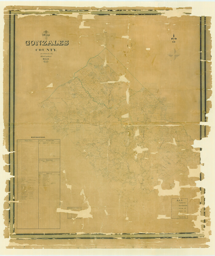
Print $40.00
- Digital $50.00
Map of Gonzales County
1842
Size 59.5 x 50.0 inches
Map/Doc 16839
[Map of the Fort Worth & Denver City Railway, Hartley County, Texas]
![64389, [Map of the Fort Worth & Denver City Railway, Hartley County, Texas], General Map Collection](https://historictexasmaps.com/wmedia_w700/maps/64389.tif.jpg)
Print $40.00
- Digital $50.00
[Map of the Fort Worth & Denver City Railway, Hartley County, Texas]
1887
Size 22.0 x 120.7 inches
Map/Doc 64389
Cameron County Sketch File 13

Print $50.00
- Digital $50.00
Cameron County Sketch File 13
Size 11.0 x 8.5 inches
Map/Doc 17298
Nueces County Sketch File 67

Print $4.00
- Digital $50.00
Nueces County Sketch File 67
Size 11.1 x 8.7 inches
Map/Doc 32998
Flight Mission No. DAH-9M, Frame 157, Orange County

Print $20.00
- Digital $50.00
Flight Mission No. DAH-9M, Frame 157, Orange County
1953
Size 18.5 x 22.5 inches
Map/Doc 86856