Clay County Boundary File 19
[Field Notes of the Jack and Clay County Line]
K-7-104
-
Map/Doc
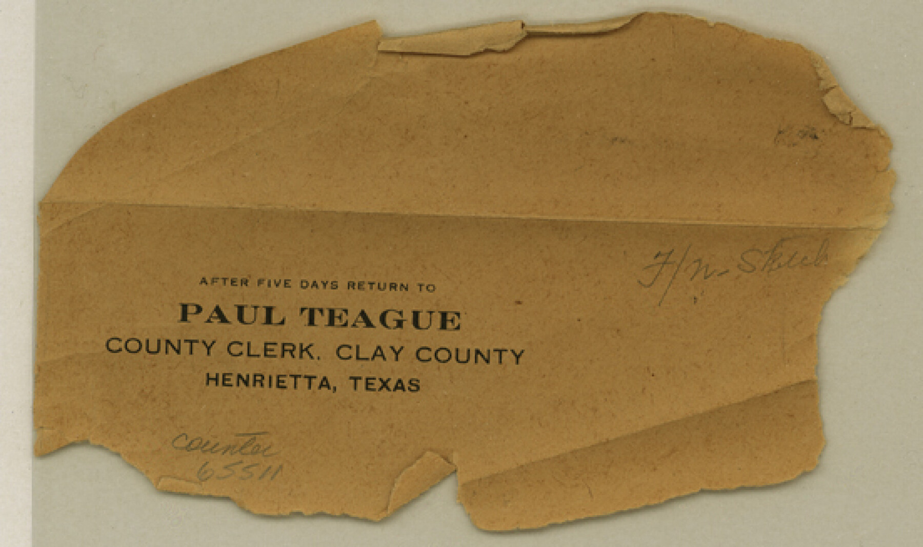
65511
-
Collection
General Map Collection
-
Object Dates
1924 (Creation Date)
-
People and Organizations
George Spiller (Surveyor/Engineer)
R.W. Watkins (Surveyor/Engineer)
-
Counties
Clay Jack
-
Subjects
County Boundaries
-
Height x Width
3.3 x 5.5 inches
8.4 x 14.0 cm
Part of: General Map Collection
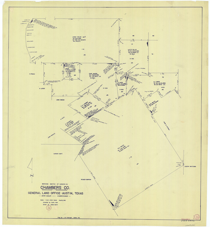
Chambers County Working Sketch 16
Print $20.00
- Digital $50.00
Chambers County Working Sketch 16
1961
Size 32.8 x 30.4 inches
Map/Doc 67999
Pecos County Rolled Sketch 131

Print $20.00
- Digital $50.00
Pecos County Rolled Sketch 131
1950
Size 28.6 x 26.4 inches
Map/Doc 7269
Presidio County Sketch File 5

Print $4.00
- Digital $50.00
Presidio County Sketch File 5
1872
Size 12.9 x 8.2 inches
Map/Doc 34433
Randall County Sketch File 12

Print $6.00
- Digital $50.00
Randall County Sketch File 12
1945
Size 11.3 x 8.9 inches
Map/Doc 34976
Lampasas County Sketch File 15

Print $20.00
- Digital $50.00
Lampasas County Sketch File 15
1888
Size 24.5 x 27.1 inches
Map/Doc 11975
Nueces County NRC Article 33.136 Sketch 24

Print $24.00
Nueces County NRC Article 33.136 Sketch 24
2024
Map/Doc 97424
Andrews County Rolled Sketch 46

Print $40.00
- Digital $50.00
Andrews County Rolled Sketch 46
2013
Size 52.0 x 36.0 inches
Map/Doc 93641
Karnes County Working Sketch 5

Print $20.00
- Digital $50.00
Karnes County Working Sketch 5
1960
Size 37.2 x 36.8 inches
Map/Doc 66653
Intracoastal Waterway in Texas - Corpus Christi to Point Isabel including Arroyo Colorado to Mo. Pac. R.R. Bridge Near Harlingen

Print $20.00
- Digital $50.00
Intracoastal Waterway in Texas - Corpus Christi to Point Isabel including Arroyo Colorado to Mo. Pac. R.R. Bridge Near Harlingen
1933
Size 40.6 x 28.0 inches
Map/Doc 61877
Nueces County Rolled Sketch 36

Print $199.00
- Digital $50.00
Nueces County Rolled Sketch 36
Size 10.7 x 15.2 inches
Map/Doc 47617
Brewster County Rolled Sketch 114

Print $20.00
- Digital $50.00
Brewster County Rolled Sketch 114
1964
Size 11.7 x 18.4 inches
Map/Doc 5265
Hansford County Working Sketch 8

Print $20.00
- Digital $50.00
Hansford County Working Sketch 8
1971
Size 26.2 x 19.3 inches
Map/Doc 63380
You may also like
Sheet 5 copied from Champlin Book 5 [Strip Map showing T. & P. connecting lines]
![93180, Sheet 5 copied from Champlin Book 5 [Strip Map showing T. & P. connecting lines], Twichell Survey Records](https://historictexasmaps.com/wmedia_w700/maps/93180-1.tif.jpg)
Print $40.00
- Digital $50.00
Sheet 5 copied from Champlin Book 5 [Strip Map showing T. & P. connecting lines]
1909
Size 7.9 x 75.6 inches
Map/Doc 93180
Kimble County Rolled Sketch 27

Print $20.00
- Digital $50.00
Kimble County Rolled Sketch 27
1963
Size 23.9 x 39.4 inches
Map/Doc 6517
Ward County, 1902

Print $40.00
- Digital $50.00
Ward County, 1902
1902
Size 51.8 x 31.3 inches
Map/Doc 89650
Outline of the Geology of the Globe

Print $20.00
Outline of the Geology of the Globe
1853
Size 19.3 x 23.6 inches
Map/Doc 95282
Colorado County Working Sketch 3

Print $20.00
- Digital $50.00
Colorado County Working Sketch 3
1911
Size 23.2 x 19.2 inches
Map/Doc 68103
McLennan County Sketch File 21

Print $4.00
- Digital $50.00
McLennan County Sketch File 21
Size 9.0 x 8.2 inches
Map/Doc 31294
Flight Mission No. CGI-3N, Frame 101, Cameron County

Print $20.00
- Digital $50.00
Flight Mission No. CGI-3N, Frame 101, Cameron County
1954
Size 18.6 x 22.1 inches
Map/Doc 84581
Coryell County Working Sketch 2

Print $20.00
- Digital $50.00
Coryell County Working Sketch 2
1906
Size 15.3 x 18.5 inches
Map/Doc 68209
[Blocks B5, B6 and Capitol Land Reservation]
![93014, [Blocks B5, B6 and Capitol Land Reservation], Twichell Survey Records](https://historictexasmaps.com/wmedia_w700/maps/93014-1.tif.jpg)
Print $20.00
- Digital $50.00
[Blocks B5, B6 and Capitol Land Reservation]
Size 20.6 x 18.6 inches
Map/Doc 93014
Hale County Sketch File 27

Print $20.00
- Digital $50.00
Hale County Sketch File 27
Size 12.1 x 28.5 inches
Map/Doc 11598
Lubbock County Boundary File 2

Print $6.00
- Digital $50.00
Lubbock County Boundary File 2
Size 11.2 x 8.8 inches
Map/Doc 56488
Garza County Sketch File 7

Print $4.00
- Digital $50.00
Garza County Sketch File 7
1900
Size 13.3 x 8.5 inches
Map/Doc 24060