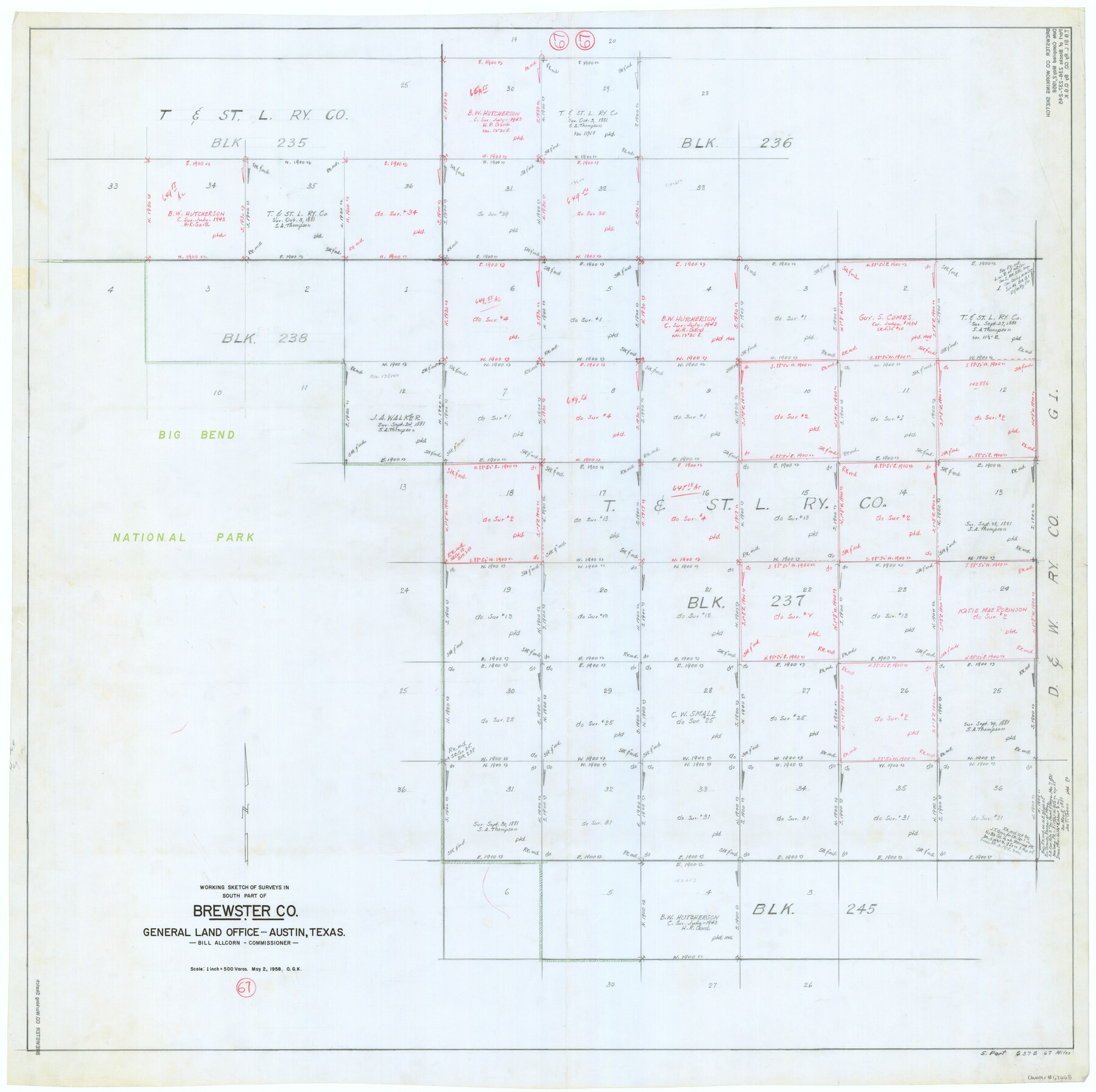
Brewster County Working Sketch 67
-
Map/Doc
67668
-
Collection
General Map Collection
-
Object Dates
5/2/1958 (Creation Date)
-
People and Organizations
Otto G. Kurio (Draftsman)
-
Counties
Brewster
-
Subjects
Surveying Working Sketch
-
Height x Width
41.9 x 42.0 inches
106.4 x 106.7 cm
-
Scale
1" = 500 varas
Part of: General Map Collection
[Topographical Map showing part of Miller Day Ranch in Southwest Part of Coleman County]
![81515, [Topographical Map showing part of Miller Day Ranch in Southwest Part of Coleman County], General Map Collection](https://historictexasmaps.com/wmedia_w700/maps/81515.tif.jpg)
Print $3.00
- Digital $50.00
[Topographical Map showing part of Miller Day Ranch in Southwest Part of Coleman County]
Size 11.3 x 17.3 inches
Map/Doc 81515
Orange County Working Sketch 7

Print $20.00
- Digital $50.00
Orange County Working Sketch 7
1922
Size 21.9 x 31.9 inches
Map/Doc 71339
Moore County Working Sketch 13

Print $40.00
- Digital $50.00
Moore County Working Sketch 13
1967
Size 38.2 x 87.5 inches
Map/Doc 71195
Roberts County Working Sketch 23

Print $20.00
- Digital $50.00
Roberts County Working Sketch 23
1979
Size 19.7 x 12.9 inches
Map/Doc 63549
Flight Mission No. DIX-5P, Frame 144, Aransas County

Print $20.00
- Digital $50.00
Flight Mission No. DIX-5P, Frame 144, Aransas County
1956
Size 17.2 x 17.6 inches
Map/Doc 83805
Copy of Surveyor's Field Book, Morris Browning - In Blocks 7, 5 & 4, I&GNRRCo., Hutchinson and Carson Counties, Texas

Print $3.00
- Digital $50.00
Copy of Surveyor's Field Book, Morris Browning - In Blocks 7, 5 & 4, I&GNRRCo., Hutchinson and Carson Counties, Texas
1888
Size 12.7 x 9.7 inches
Map/Doc 62258
[F. W. & D. C. Ry. Co. Alignment and Right of Way Map, Clay County]
![64736, [F. W. & D. C. Ry. Co. Alignment and Right of Way Map, Clay County], General Map Collection](https://historictexasmaps.com/wmedia_w700/maps/64736-GC.tif.jpg)
Print $20.00
- Digital $50.00
[F. W. & D. C. Ry. Co. Alignment and Right of Way Map, Clay County]
1927
Size 18.6 x 11.7 inches
Map/Doc 64736
Wichita County Working Sketch 9

Print $20.00
- Digital $50.00
Wichita County Working Sketch 9
1920
Size 23.7 x 17.6 inches
Map/Doc 72518
Bowie County Working Sketch 8

Print $20.00
- Digital $50.00
Bowie County Working Sketch 8
1953
Size 25.9 x 24.0 inches
Map/Doc 67412
Kimble County Working Sketch 51

Print $20.00
- Digital $50.00
Kimble County Working Sketch 51
1953
Size 36.3 x 40.1 inches
Map/Doc 70119
Liberty County Sketch File 64

Print $4.00
- Digital $50.00
Liberty County Sketch File 64
1873
Size 9.9 x 7.9 inches
Map/Doc 30126
Brazos County Sketch File 2

Print $4.00
- Digital $50.00
Brazos County Sketch File 2
1858
Size 7.9 x 9.4 inches
Map/Doc 15552
You may also like
Coast Chart No. 106, Galveston Bay to Oyster Bay, Texas

Print $20.00
Coast Chart No. 106, Galveston Bay to Oyster Bay, Texas
1858
Size 32.4 x 40.7 inches
Map/Doc 76252
Hutchinson County Rolled Sketch 19

Print $20.00
- Digital $50.00
Hutchinson County Rolled Sketch 19
Size 21.3 x 25.0 inches
Map/Doc 6285
Greer County Sketch File 2

Print $20.00
- Digital $50.00
Greer County Sketch File 2
1883
Size 25.4 x 19.9 inches
Map/Doc 11582
Stephens County Working Sketch 34

Print $20.00
- Digital $50.00
Stephens County Working Sketch 34
1978
Size 33.5 x 28.3 inches
Map/Doc 63977
Bee County Working Sketch 24

Print $20.00
- Digital $50.00
Bee County Working Sketch 24
1987
Size 36.6 x 24.0 inches
Map/Doc 67274
Nacogdoches County Working Sketch 9

Print $20.00
- Digital $50.00
Nacogdoches County Working Sketch 9
1967
Size 27.6 x 32.1 inches
Map/Doc 71225
[Skeleton Sketch of G. C. & S. F. Block 194 and sections 60-65, I. & G. N. Block 1]
![93187, [Skeleton Sketch of G. C. & S. F. Block 194 and sections 60-65, I. & G. N. Block 1], Twichell Survey Records](https://historictexasmaps.com/wmedia_w700/maps/93187-1.tif.jpg)
Print $40.00
- Digital $50.00
[Skeleton Sketch of G. C. & S. F. Block 194 and sections 60-65, I. & G. N. Block 1]
Size 74.5 x 43.4 inches
Map/Doc 93187
Grayson County Boundary File 2

Print $14.00
- Digital $50.00
Grayson County Boundary File 2
Size 12.7 x 7.9 inches
Map/Doc 53931
Milam County Rolled Sketch 3A

Print $40.00
- Digital $50.00
Milam County Rolled Sketch 3A
1967
Size 49.1 x 38.8 inches
Map/Doc 43048
Seagraves Cemetery, Gaines County, Texas

Print $20.00
- Digital $50.00
Seagraves Cemetery, Gaines County, Texas
Size 23.2 x 19.2 inches
Map/Doc 92685
Renderbrook Ranch

Print $20.00
- Digital $50.00
Renderbrook Ranch
1932
Size 16.9 x 13.5 inches
Map/Doc 92279
The California Case

Print $20.00
- Digital $50.00
The California Case
Size 17.6 x 12.5 inches
Map/Doc 91696