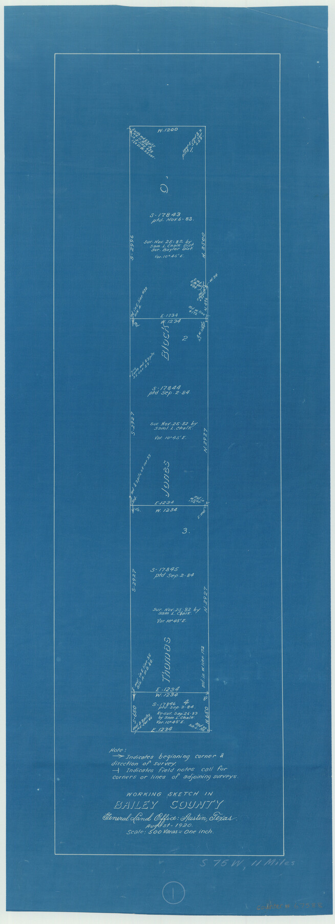
Bailey County Working Sketch 1
-
Map/Doc
67588
-
Collection
General Map Collection
-
Object Dates
8/1920 (Creation Date)
-
Counties
Bailey
-
Subjects
Surveying Working Sketch
-
Height x Width
28.9 x 10.5 inches
73.4 x 26.7 cm
-
Scale
1" = 500 varas
-
Comments
Surveys located about 11 miles South 75 degrees West of Muleshoe, Texas.
Part of: General Map Collection
Van Zandt County Sketch File 2a

Print $42.00
- Digital $50.00
Van Zandt County Sketch File 2a
Size 12.2 x 12.0 inches
Map/Doc 39363
Sabine County

Print $20.00
- Digital $50.00
Sabine County
1920
Size 44.6 x 35.1 inches
Map/Doc 16805
Briscoe County Sketch File D-2

Print $40.00
- Digital $50.00
Briscoe County Sketch File D-2
1901
Size 18.5 x 7.8 inches
Map/Doc 16411
Working Sketch No. II in Pecos County

Print $20.00
- Digital $50.00
Working Sketch No. II in Pecos County
1886
Size 31.3 x 24.1 inches
Map/Doc 3953
Map of Ferrocarriles Nacionales de Mexico (National Railways of Mexico), Interoceanic Railway of Mexico, Vera Cruz to Isthmus Railroad, Pan-American Railroad, Texas-Mexican Railway

Print $20.00
- Digital $50.00
Map of Ferrocarriles Nacionales de Mexico (National Railways of Mexico), Interoceanic Railway of Mexico, Vera Cruz to Isthmus Railroad, Pan-American Railroad, Texas-Mexican Railway
1911
Size 9.4 x 16.1 inches
Map/Doc 95744
Atascosa County

Print $40.00
- Digital $50.00
Atascosa County
1894
Size 50.5 x 44.1 inches
Map/Doc 66706
Wichita County Rolled Sketch 18

Print $20.00
- Digital $50.00
Wichita County Rolled Sketch 18
1924
Size 30.0 x 40.5 inches
Map/Doc 8253
Hardin County Sketch File 41 and 42

Print $8.00
- Digital $50.00
Hardin County Sketch File 41 and 42
Size 8.8 x 7.9 inches
Map/Doc 25188
Nueces County Sketch File 57

Print $20.00
- Digital $50.00
Nueces County Sketch File 57
1884
Size 11.1 x 8.7 inches
Map/Doc 32910
Brazoria County Rolled Sketch 49

Print $20.00
- Digital $50.00
Brazoria County Rolled Sketch 49
1948
Size 23.8 x 36.2 inches
Map/Doc 5184
Coke County Working Sketch 22

Print $20.00
- Digital $50.00
Coke County Working Sketch 22
1949
Size 21.7 x 27.7 inches
Map/Doc 68059
Angelina River, Mud Creek, Sheet 3

Print $4.00
- Digital $50.00
Angelina River, Mud Creek, Sheet 3
1937
Size 18.7 x 26.6 inches
Map/Doc 65077
You may also like
Flight Mission No. DIX-6P, Frame 130, Aransas County

Print $20.00
- Digital $50.00
Flight Mission No. DIX-6P, Frame 130, Aransas County
1956
Size 19.3 x 22.9 inches
Map/Doc 83836
Galveston County NRC Article 33.136 Sketch 34

Print $20.00
- Digital $50.00
Galveston County NRC Article 33.136 Sketch 34
2005
Size 24.5 x 18.5 inches
Map/Doc 83405
Trinity County Sketch File 32

Print $20.00
- Digital $50.00
Trinity County Sketch File 32
1894
Size 22.4 x 18.3 inches
Map/Doc 12490
General Highway Map. Detail of Cities and Towns in Tarrant County, Texas. City Map, Fort Worth and vicinity, Tarrant County, Texas

Print $20.00
General Highway Map. Detail of Cities and Towns in Tarrant County, Texas. City Map, Fort Worth and vicinity, Tarrant County, Texas
1961
Size 18.4 x 25.1 inches
Map/Doc 79666
Angelina County Sketch File 7

Print $40.00
- Digital $50.00
Angelina County Sketch File 7
1858
Size 15.5 x 35.8 inches
Map/Doc 10812
La Salle County Rolled Sketch 6A

Print $40.00
- Digital $50.00
La Salle County Rolled Sketch 6A
1941
Size 43.5 x 68.2 inches
Map/Doc 10729
Armstrong County Working Sketch 8

Print $20.00
- Digital $50.00
Armstrong County Working Sketch 8
1902
Size 25.4 x 40.2 inches
Map/Doc 67239
Val Verde County Sketch File N

Print $14.00
- Digital $50.00
Val Verde County Sketch File N
1920
Size 10.9 x 8.8 inches
Map/Doc 39284
Runnels County Working Sketch 14

Print $20.00
- Digital $50.00
Runnels County Working Sketch 14
1950
Size 28.4 x 26.8 inches
Map/Doc 63610
Frio County Working Sketch 8

Print $20.00
- Digital $50.00
Frio County Working Sketch 8
1948
Size 26.9 x 21.3 inches
Map/Doc 69282
Presidio County Rolled Sketch S2

Print $20.00
- Digital $50.00
Presidio County Rolled Sketch S2
1916
Size 14.2 x 12.0 inches
Map/Doc 7415
The Republic County of Goliad. Proposed, Late Fall 1837

Print $20.00
The Republic County of Goliad. Proposed, Late Fall 1837
2020
Size 15.1 x 21.7 inches
Map/Doc 96147