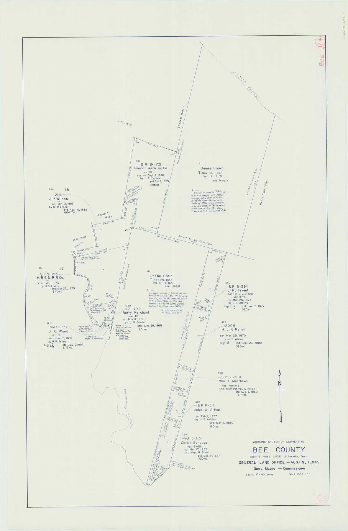
Bee County Working Sketch 24
-
Map/Doc
67274
-
Collection
General Map Collection
-
Object Dates
2/4/1987 (Creation Date)
-
People and Organizations
Joan Kilpatrick (Draftsman)
Garry Mauro (GLO Commissioner)
-
Counties
Bee
-
Subjects
Surveying Working Sketch
-
Height x Width
36.6 x 24.0 inches
93.0 x 61.0 cm
-
Scale
1" = 600 varas
-
Comments
Surveys located about five miles South 55 degrees East of Beeville, Texas.
Part of: General Map Collection
Polk County Boundary File 70

Print $12.00
- Digital $50.00
Polk County Boundary File 70
Size 8.2 x 3.6 inches
Map/Doc 57930
Mosaic composed of aerial photographs - Galveston, Tex.

Print $20.00
- Digital $50.00
Mosaic composed of aerial photographs - Galveston, Tex.
1923
Size 15.3 x 33.3 inches
Map/Doc 97160
Hutchinson County Sketch File 1

Print $22.00
- Digital $50.00
Hutchinson County Sketch File 1
Size 8.9 x 7.8 inches
Map/Doc 27172
Tom Green County Sketch File 69

Print $40.00
- Digital $50.00
Tom Green County Sketch File 69
1945
Size 16.5 x 12.4 inches
Map/Doc 38239
Shelby County Rolled Sketch 2

Print $20.00
- Digital $50.00
Shelby County Rolled Sketch 2
Size 20.3 x 30.7 inches
Map/Doc 7775

Upton County Rolled Sketch 18

Print $40.00
- Digital $50.00
Upton County Rolled Sketch 18
1933
Size 38.3 x 55.5 inches
Map/Doc 10039
Jack County Sketch File 18c

Print $60.00
- Digital $50.00
Jack County Sketch File 18c
Size 20.0 x 30.7 inches
Map/Doc 11828
Zapata County Rolled Sketch 5

Print $20.00
- Digital $50.00
Zapata County Rolled Sketch 5
1884
Size 19.7 x 16.0 inches
Map/Doc 8307
Kenedy County Rolled Sketch 12

Print $20.00
- Digital $50.00
Kenedy County Rolled Sketch 12
1944
Size 34.6 x 41.1 inches
Map/Doc 9333
West Part Presidio Co.

Print $20.00
- Digital $50.00
West Part Presidio Co.
1974
Size 40.5 x 31.4 inches
Map/Doc 77399
Bowie County Rolled Sketch 2

Print $40.00
- Digital $50.00
Bowie County Rolled Sketch 2
Size 37.8 x 51.3 inches
Map/Doc 8454
You may also like
Working Sketch Cochran and Yoakum Co's.

Print $40.00
- Digital $50.00
Working Sketch Cochran and Yoakum Co's.
1919
Size 54.5 x 16.4 inches
Map/Doc 89676
Presidio County Working Sketch 77

Print $20.00
- Digital $50.00
Presidio County Working Sketch 77
1964
Size 36.0 x 39.0 inches
Map/Doc 71754
Dimmit County Rolled Sketch 12

Print $20.00
- Digital $50.00
Dimmit County Rolled Sketch 12
1942
Size 19.8 x 21.5 inches
Map/Doc 5721
[Texas & Pacific RR. Co. Blocks 6 and 4, L. C. Denison, Guadalupe College and vicinity]
![92133, [Texas & Pacific RR. Co. Blocks 6 and 4, L. C. Denison, Guadalupe College and vicinity], Twichell Survey Records](https://historictexasmaps.com/wmedia_w700/maps/92133-1.tif.jpg)
Print $20.00
- Digital $50.00
[Texas & Pacific RR. Co. Blocks 6 and 4, L. C. Denison, Guadalupe College and vicinity]
Size 32.5 x 19.8 inches
Map/Doc 92133
Greenville, Hunt County Texas

Print $20.00
Greenville, Hunt County Texas
1891
Size 16.4 x 30.0 inches
Map/Doc 89090
[PSL Blocks C31-C39]
![90790, [PSL Blocks C31-C39], Twichell Survey Records](https://historictexasmaps.com/wmedia_w700/maps/90790-1.tif.jpg)
Print $20.00
- Digital $50.00
[PSL Blocks C31-C39]
Size 43.1 x 9.8 inches
Map/Doc 90790
Starr County Rolled Sketch 44

Print $20.00
- Digital $50.00
Starr County Rolled Sketch 44
Size 38.0 x 46.0 inches
Map/Doc 9943
Hudspeth County Rolled Sketch 18

Print $40.00
- Digital $50.00
Hudspeth County Rolled Sketch 18
1886
Size 15.7 x 105.0 inches
Map/Doc 9204
Limestone County Rolled Sketch 4

Print $20.00
- Digital $50.00
Limestone County Rolled Sketch 4
1921
Size 35.1 x 35.1 inches
Map/Doc 9573
[Survey 321, Double Lakes Area Northwest of Tahoka]
![89962, [Survey 321, Double Lakes Area Northwest of Tahoka], Twichell Survey Records](https://historictexasmaps.com/wmedia_w700/maps/89962-1.tif.jpg)
Print $20.00
- Digital $50.00
[Survey 321, Double Lakes Area Northwest of Tahoka]
Size 41.3 x 43.0 inches
Map/Doc 89962
Bastrop County Working Sketch 6

Print $20.00
- Digital $50.00
Bastrop County Working Sketch 6
1923
Size 37.5 x 31.2 inches
Map/Doc 67306
Jefferson County Rolled Sketch 57

Print $20.00
- Digital $50.00
Jefferson County Rolled Sketch 57
1883
Size 25.9 x 18.6 inches
Map/Doc 6407