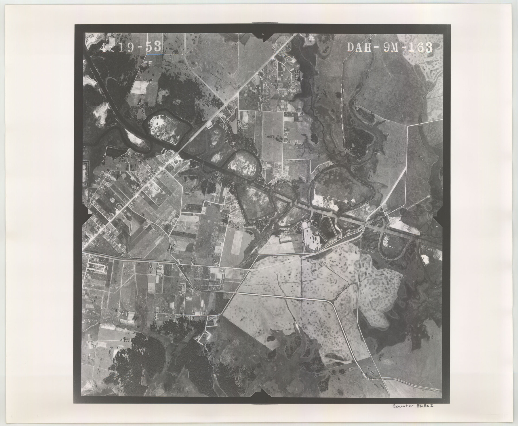
Flight Mission No. DAH-9M, Frame 163, Orange County
DAH-9M-163
-
Map/Doc
86862
-
Collection
General Map Collection
-
Object Dates
1953/4/19 (Creation Date)
-
People and Organizations
U. S. Department of Agriculture (Publisher)
-
Counties
Orange
-
Subjects
Aerial Photograph
-
Height x Width
18.4 x 22.4 inches
46.7 x 56.9 cm
-
Comments
Flown by Jack Ammann Photogrammetric Engineers of San Antonio, Texas.
Part of: General Map Collection
Texas Prospectors and Historians Map

Digital $50.00
Texas Prospectors and Historians Map
Size 22.4 x 29.2 inches
Map/Doc 94411
Cooke County Sketch File 5

Print $4.00
- Digital $50.00
Cooke County Sketch File 5
1857
Size 12.7 x 8.2 inches
Map/Doc 19226
Galveston Bay and Approaches

Print $20.00
- Digital $50.00
Galveston Bay and Approaches
1966
Size 43.3 x 32.6 inches
Map/Doc 69879
Pecos County Working Sketch 28

Print $20.00
- Digital $50.00
Pecos County Working Sketch 28
1935
Size 27.9 x 29.2 inches
Map/Doc 71500
Amistad International Reservoir on Rio Grande 71a

Print $20.00
- Digital $50.00
Amistad International Reservoir on Rio Grande 71a
1949
Size 28.4 x 39.6 inches
Map/Doc 73359
Hudspeth County Rolled Sketch 69

Print $20.00
- Digital $50.00
Hudspeth County Rolled Sketch 69
1973
Size 12.3 x 19.2 inches
Map/Doc 7718
Zavala County Working Sketch 29

Print $20.00
- Digital $50.00
Zavala County Working Sketch 29
1994
Size 33.1 x 42.9 inches
Map/Doc 62104
Reagan County Sketch File 2A

Print $6.00
- Digital $50.00
Reagan County Sketch File 2A
1882
Size 9.1 x 17.6 inches
Map/Doc 12211
Leon County Working Sketch 28

Print $20.00
- Digital $50.00
Leon County Working Sketch 28
1971
Size 25.0 x 30.1 inches
Map/Doc 70427
Bexar County State Real Property Sketch 1

Print $20.00
- Digital $50.00
Bexar County State Real Property Sketch 1
1992
Size 30.0 x 42.2 inches
Map/Doc 61698
Texas Intracoastal Waterway - Stover Point to Port Brownsville including Brazos Santiago

Print $20.00
- Digital $50.00
Texas Intracoastal Waterway - Stover Point to Port Brownsville including Brazos Santiago
1965
Size 27.5 x 38.9 inches
Map/Doc 73521
[Sketch for Mineral Application 26501 - Sabine River, T. A. Oldhausen]
![2844, [Sketch for Mineral Application 26501 - Sabine River, T. A. Oldhausen], General Map Collection](https://historictexasmaps.com/wmedia_w700/maps/2844.tif.jpg)
Print $20.00
- Digital $50.00
[Sketch for Mineral Application 26501 - Sabine River, T. A. Oldhausen]
1931
Size 24.4 x 36.8 inches
Map/Doc 2844
You may also like
[Crocket County School Land along Bailey and Lamb County Line]
![90197, [Crocket County School Land along Bailey and Lamb County Line], Twichell Survey Records](https://historictexasmaps.com/wmedia_w700/maps/90197-1.tif.jpg)
Print $20.00
- Digital $50.00
[Crocket County School Land along Bailey and Lamb County Line]
Size 26.8 x 18.9 inches
Map/Doc 90197
Map of Concho County

Print $20.00
- Digital $50.00
Map of Concho County
1897
Size 47.0 x 39.5 inches
Map/Doc 4733
Van Zandt County Rolled Sketch 7

Print $20.00
- Digital $50.00
Van Zandt County Rolled Sketch 7
1946
Size 27.0 x 20.4 inches
Map/Doc 8147
Fisher County Rolled Sketch Y

Print $20.00
- Digital $50.00
Fisher County Rolled Sketch Y
Size 42.1 x 25.4 inches
Map/Doc 5878
Brazoria County Sketch File 24

Print $6.00
- Digital $50.00
Brazoria County Sketch File 24
1868
Size 11.3 x 10.4 inches
Map/Doc 15022
Flight Mission No. CGI-3N, Frame 111, Cameron County

Print $20.00
- Digital $50.00
Flight Mission No. CGI-3N, Frame 111, Cameron County
1954
Size 18.6 x 22.2 inches
Map/Doc 84591
[Blocks B12 and 6T]
![91514, [Blocks B12 and 6T], Twichell Survey Records](https://historictexasmaps.com/wmedia_w700/maps/91514-1.tif.jpg)
Print $2.00
- Digital $50.00
[Blocks B12 and 6T]
Size 14.6 x 9.1 inches
Map/Doc 91514
Bexar County Sketch File 36c

Print $20.00
- Digital $50.00
Bexar County Sketch File 36c
1874
Size 19.3 x 26.4 inches
Map/Doc 10922
Tarrant County Boundary File 4 and 4a

Print $14.00
- Digital $50.00
Tarrant County Boundary File 4 and 4a
Size 11.5 x 8.9 inches
Map/Doc 59154
Martin County Boundary File 2

Print $32.00
- Digital $50.00
Martin County Boundary File 2
Size 9.3 x 9.1 inches
Map/Doc 56760
Schleicher County Sketch File 34

Print $20.00
- Digital $50.00
Schleicher County Sketch File 34
1949
Size 18.7 x 31.7 inches
Map/Doc 12307
Township No. 3 South Range No. 19 West of the Indian Meridian

Print $20.00
- Digital $50.00
Township No. 3 South Range No. 19 West of the Indian Meridian
1875
Size 19.2 x 24.5 inches
Map/Doc 75182