[St. Louis & Southwestern]
Z-2-70
-
Map/Doc
64281
-
Collection
General Map Collection
-
Counties
Franklin Hopkins
-
Subjects
Railroads
-
Height x Width
20.9 x 29.0 inches
53.1 x 73.7 cm
-
Medium
blueprint/diazo
-
Comments
See counter nos. 64276 through 64281 for other sheets of the map.
-
Features
SLS
Part of: General Map Collection
Hutchinson County Rolled Sketch 19


Print $20.00
- Digital $50.00
Hutchinson County Rolled Sketch 19
Size 21.3 x 25.0 inches
Map/Doc 6285
Brewster County Working Sketch 111


Print $40.00
- Digital $50.00
Brewster County Working Sketch 111
1982
Size 21.5 x 55.9 inches
Map/Doc 67711
Yoakum County Sketch File 6
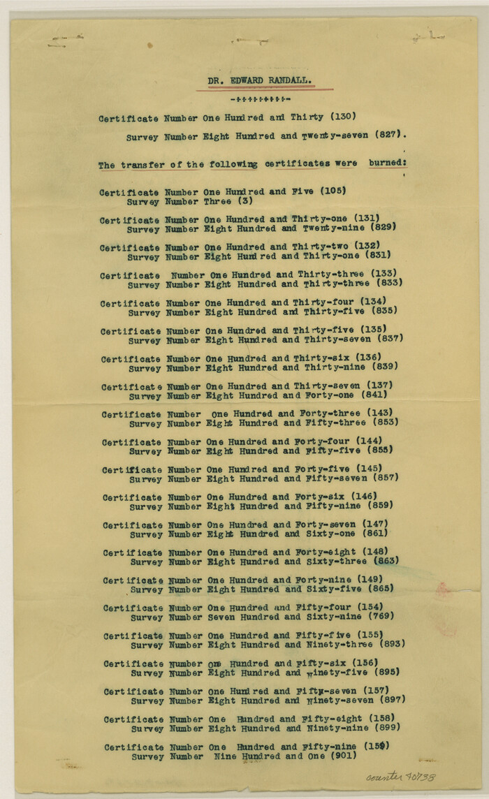

Print $24.00
- Digital $50.00
Yoakum County Sketch File 6
Size 14.5 x 8.8 inches
Map/Doc 40738
Harris County Sketch File 86
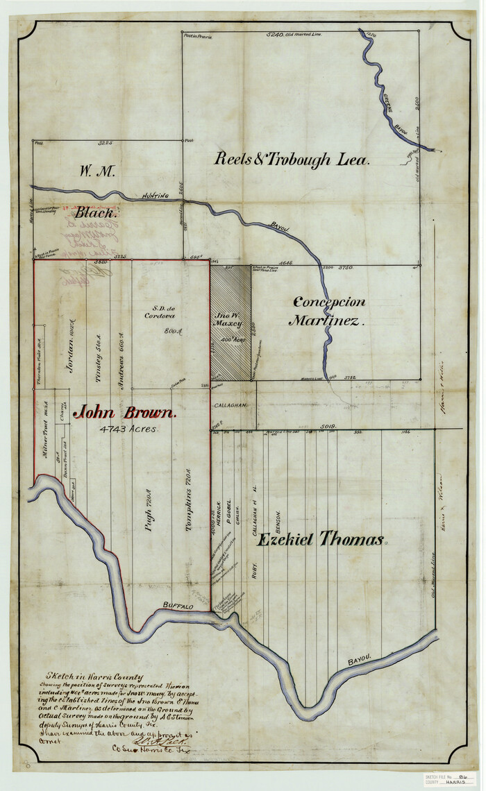

Print $20.00
- Digital $50.00
Harris County Sketch File 86
1894
Size 34.7 x 21.3 inches
Map/Doc 11674
Matagorda County NRC Article 33.136 Sketch 22


Print $24.00
Matagorda County NRC Article 33.136 Sketch 22
2025
Map/Doc 97486
Erath County Working Sketch 14


Print $20.00
- Digital $50.00
Erath County Working Sketch 14
1959
Size 24.7 x 21.9 inches
Map/Doc 69095
McMullen County Rolled Sketch 3
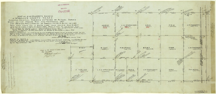

Print $20.00
- Digital $50.00
McMullen County Rolled Sketch 3
1937
Size 16.2 x 37.2 inches
Map/Doc 6722
Palo Pinto County
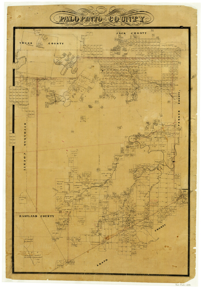

Print $20.00
- Digital $50.00
Palo Pinto County
1856
Size 29.9 x 20.9 inches
Map/Doc 1394
Grayson County Working Sketch 10
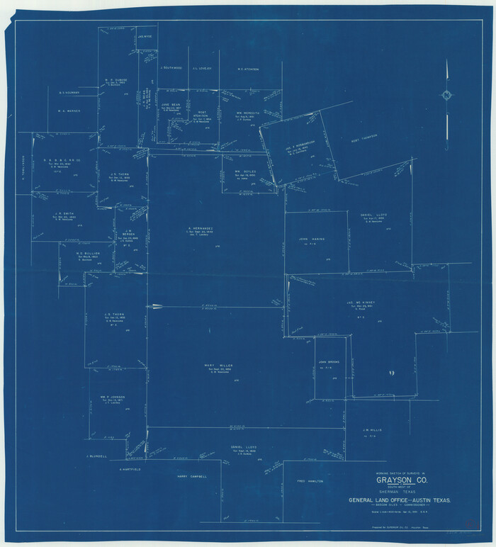

Print $20.00
- Digital $50.00
Grayson County Working Sketch 10
1951
Size 41.6 x 37.8 inches
Map/Doc 63249
Coryell County Working Sketch 32
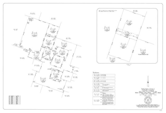

Print $20.00
- Digital $50.00
Coryell County Working Sketch 32
2022
Size 25.3 x 36.9 inches
Map/Doc 96966
Cameron County
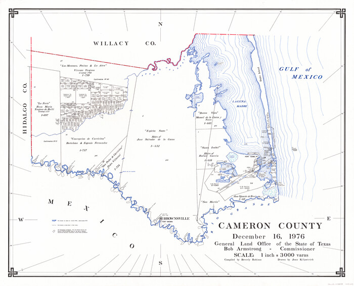

Print $20.00
- Digital $50.00
Cameron County
1976
Size 32.2 x 39.0 inches
Map/Doc 73098
Deaf Smith County
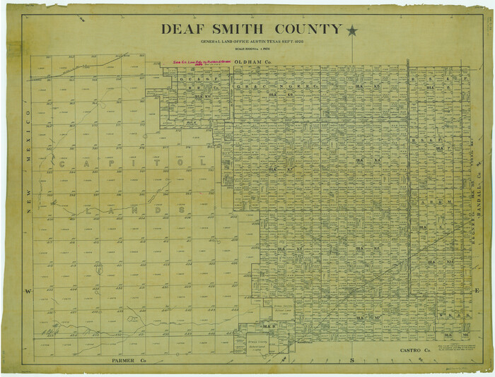

Print $40.00
- Digital $50.00
Deaf Smith County
1926
Size 41.4 x 54.3 inches
Map/Doc 1816
You may also like
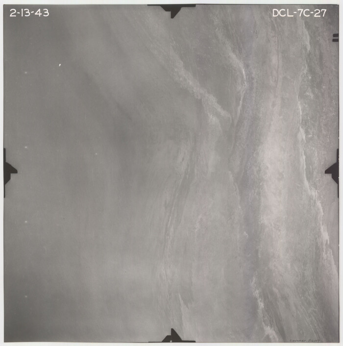
Flight Mission No. DCL-7C, Frame 27, Kenedy County

Print $20.00
- Digital $50.00
Flight Mission No. DCL-7C, Frame 27, Kenedy County
1943
Size 15.4 x 15.2 inches
Map/Doc 86019
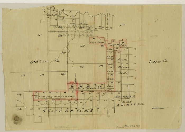
Oldham County Sketch File 5

Print $4.00
- Digital $50.00
Oldham County Sketch File 5
Size 8.5 x 11.9 inches
Map/Doc 33234
Callahan County Sketch File 1


Print $4.00
- Digital $50.00
Callahan County Sketch File 1
Size 9.1 x 8.2 inches
Map/Doc 35851
Jefferson County Sketch File 8a


Print $42.00
- Digital $50.00
Jefferson County Sketch File 8a
Size 8.6 x 7.8 inches
Map/Doc 28120
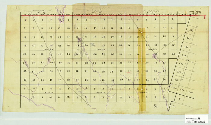
Tom Green County Sketch File 38

Print $20.00
- Digital $50.00
Tom Green County Sketch File 38
Size 13.7 x 23.0 inches
Map/Doc 12438
Goliad County Working Sketch 18


Print $20.00
- Digital $50.00
Goliad County Working Sketch 18
1949
Size 31.2 x 39.4 inches
Map/Doc 63208
San Antonio - Downtown - Riverwalk
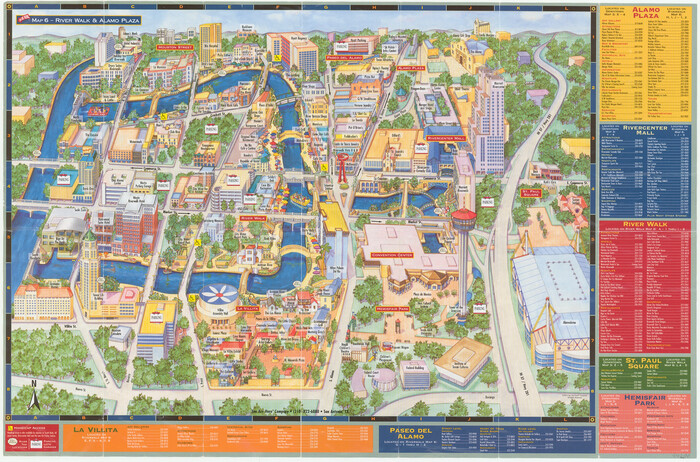

San Antonio - Downtown - Riverwalk
Size 11.8 x 17.8 inches
Map/Doc 94290
Packery Channel


Print $3.00
- Digital $50.00
Packery Channel
1974
Size 10.2 x 10.3 inches
Map/Doc 3000
Deaf Smith County Sketch File E
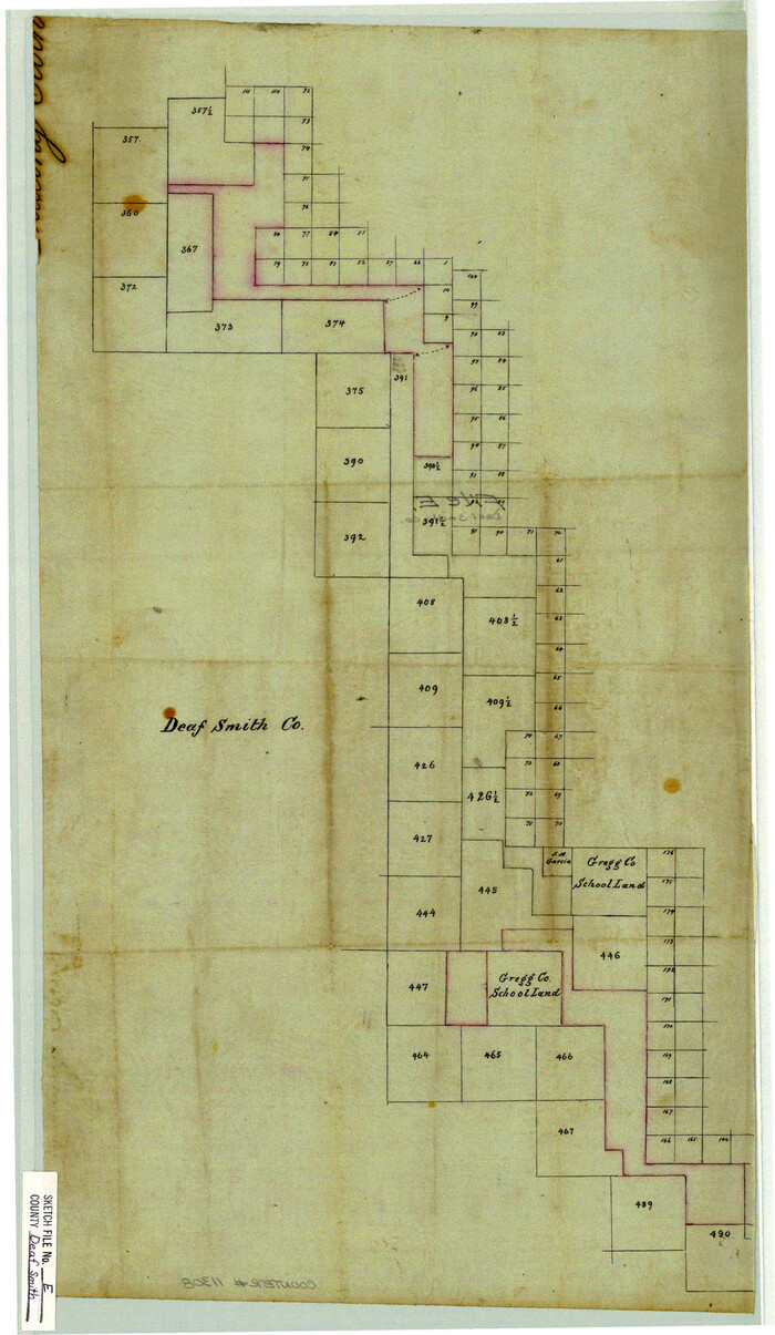

Print $20.00
- Digital $50.00
Deaf Smith County Sketch File E
Size 22.3 x 12.9 inches
Map/Doc 11308
Wichita County Sketch File 30

Print $32.00
- Digital $50.00
Wichita County Sketch File 30
1930
Size 8.8 x 8.3 inches
Map/Doc 40136
Galveston County Sketch File 2a


Print $4.00
- Digital $50.00
Galveston County Sketch File 2a
1848
Size 14.3 x 8.8 inches
Map/Doc 23350
Montgomery County Sketch File 38
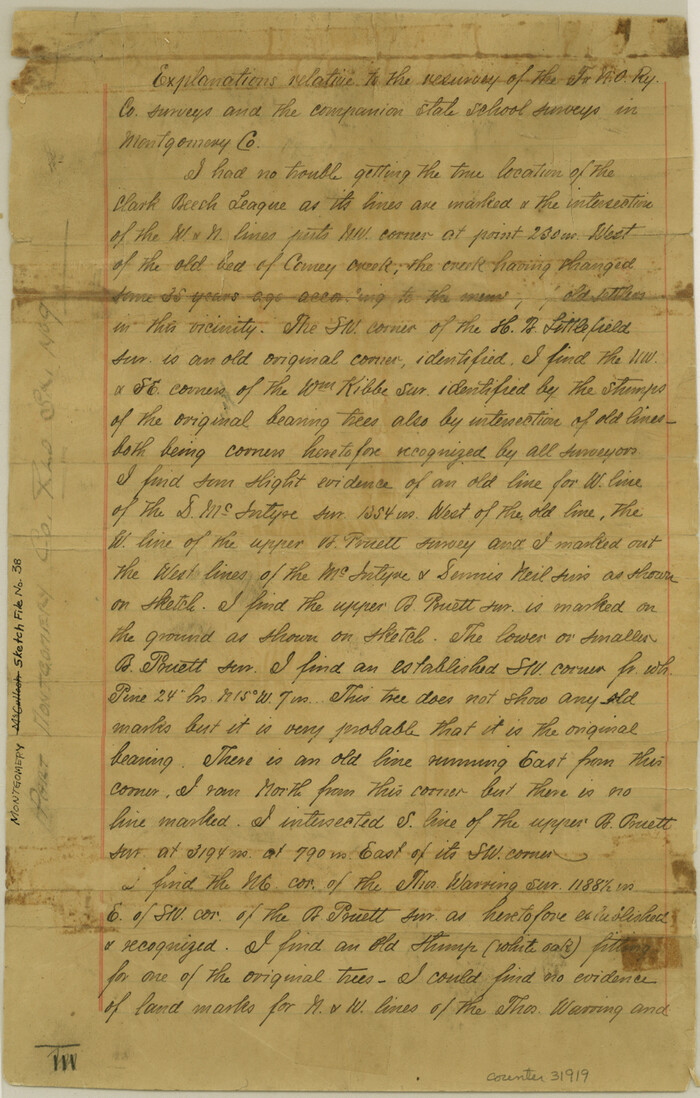

Print $8.00
- Digital $50.00
Montgomery County Sketch File 38
1899
Size 13.6 x 8.6 inches
Map/Doc 31919
![64281, [St. Louis & Southwestern], General Map Collection](https://historictexasmaps.com/wmedia_w1800h1800/maps/64281.tif.jpg)