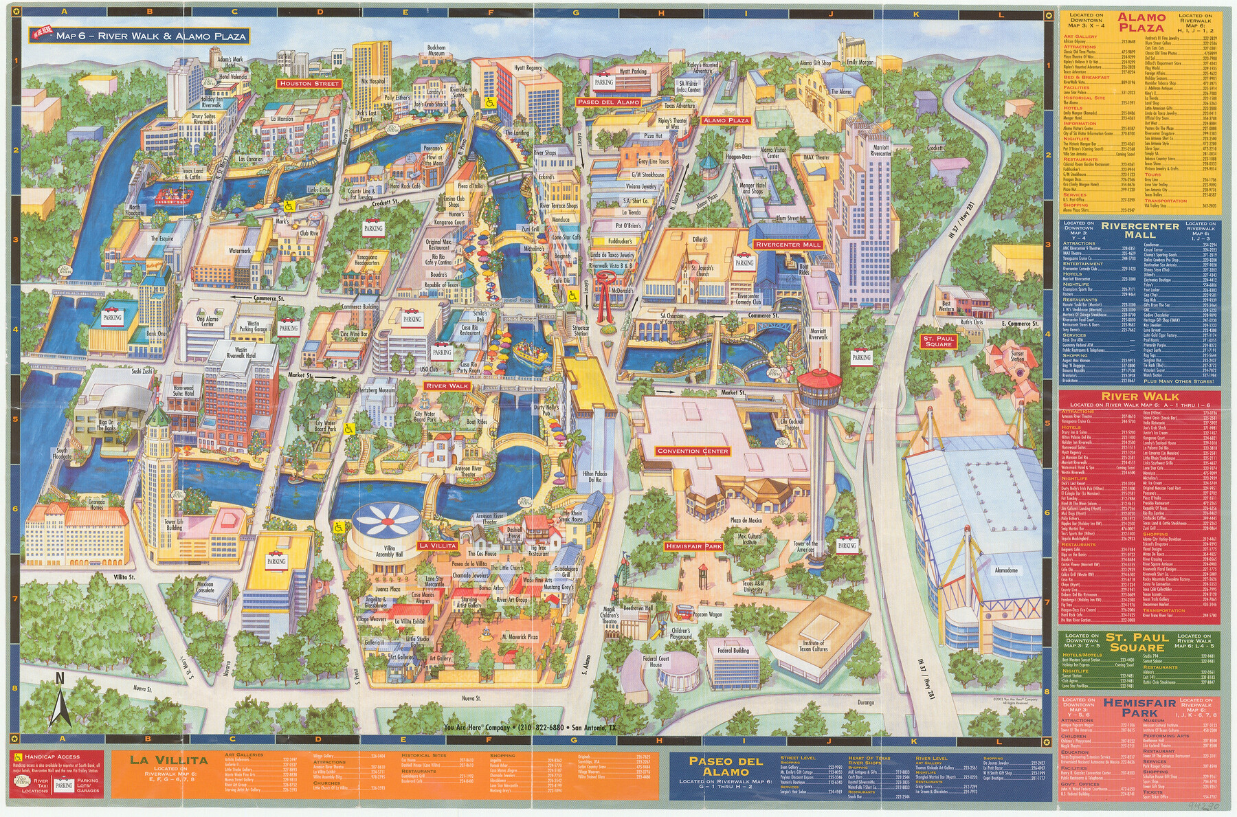
San Antonio - Downtown - Riverwalk
[Verso]
-
Map/Doc
94290
-
Collection
General Map Collection
-
Object Dates
2003 (Edition Date)
-
People and Organizations
You Are Here Company (Publisher)
Mark Lambert (Donor)
-
Counties
Bexar
-
Subjects
City
-
Height x Width
11.8 x 17.8 inches
30.0 x 45.2 cm
-
Medium
booklet/pamphlet
-
Comments
Donated by Mark Lambert. For map on recto, see 94289. For reseach purposes only.
Related maps
San Antonio - Downtown - Riverwalk

San Antonio - Downtown - Riverwalk
Size 11.8 x 17.9 inches
Map/Doc 94289
Part of: General Map Collection
Sterling County Working Sketch 11

Print $20.00
- Digital $50.00
Sterling County Working Sketch 11
1987
Size 20.1 x 40.8 inches
Map/Doc 63993
Jasper County Sketch File 23

Print $20.00
- Digital $50.00
Jasper County Sketch File 23
Size 15.3 x 24.6 inches
Map/Doc 11850
Winkler County Rolled Sketch 14

Print $20.00
- Digital $50.00
Winkler County Rolled Sketch 14
Size 25.9 x 38.4 inches
Map/Doc 8275
Crockett County Rolled Sketch 29

Print $20.00
- Digital $50.00
Crockett County Rolled Sketch 29
1927
Size 21.9 x 36.6 inches
Map/Doc 5588
Hardin County Sketch File 71

Print $94.00
- Digital $50.00
Hardin County Sketch File 71
1997
Size 11.4 x 8.8 inches
Map/Doc 25259
Harbor of Brazos Santiago, Texas

Print $20.00
- Digital $50.00
Harbor of Brazos Santiago, Texas
1887
Size 27.0 x 18.3 inches
Map/Doc 72993
Jeff Davis County Rolled Sketch 44

Print $20.00
- Digital $50.00
Jeff Davis County Rolled Sketch 44
2014
Size 19.8 x 34.7 inches
Map/Doc 94243
McMullen County Boundary File 7

Print $5.00
- Digital $50.00
McMullen County Boundary File 7
Size 7.2 x 17.0 inches
Map/Doc 57017
Somervell County Rolled Sketch B

Print $20.00
- Digital $50.00
Somervell County Rolled Sketch B
Size 18.8 x 19.9 inches
Map/Doc 7792
Kinney County Working Sketch 13

Print $20.00
- Digital $50.00
Kinney County Working Sketch 13
1941
Size 20.3 x 23.9 inches
Map/Doc 70195
Midland County

Print $20.00
- Digital $50.00
Midland County
1930
Size 45.9 x 39.5 inches
Map/Doc 95589
[Geological Map of Texas]
![62962, [Geological Map of Texas], General Map Collection](https://historictexasmaps.com/wmedia_w700/maps/62962.tif.jpg)
Print $20.00
- Digital $50.00
[Geological Map of Texas]
Size 17.6 x 18.1 inches
Map/Doc 62962
You may also like
Gaines County Rolled Sketch 15C

Print $40.00
- Digital $50.00
Gaines County Rolled Sketch 15C
Size 128.4 x 22.8 inches
Map/Doc 75928

Sketch in Floyd County

Print $20.00
- Digital $50.00
Sketch in Floyd County
1911
Size 25.3 x 41.8 inches
Map/Doc 90916
Morris County Rolled Sketch 2A

Print $20.00
- Digital $50.00
Morris County Rolled Sketch 2A
Size 13.3 x 19.0 inches
Map/Doc 10232
[Sketch for Mineral Application 13271- Trinity River]
![65628, [Sketch for Mineral Application 13271- Trinity River], General Map Collection](https://historictexasmaps.com/wmedia_w700/maps/65628.tif.jpg)
Print $40.00
- Digital $50.00
[Sketch for Mineral Application 13271- Trinity River]
1925
Size 63.1 x 22.4 inches
Map/Doc 65628
Cooke County Sketch File 14

Print $4.00
- Digital $50.00
Cooke County Sketch File 14
Size 10.3 x 8.2 inches
Map/Doc 19248
Harris County Historic Topographic B

Print $20.00
- Digital $50.00
Harris County Historic Topographic B
1916
Size 25.5 x 19.2 inches
Map/Doc 65850
Nolan County Sketch File 11

Print $20.00
- Digital $50.00
Nolan County Sketch File 11
1902
Size 18.5 x 37.5 inches
Map/Doc 42162
Austin Empresario Colony. July 9, 1828

Print $20.00
Austin Empresario Colony. July 9, 1828
2020
Size 16.4 x 21.7 inches
Map/Doc 95982
Jackson County

Print $20.00
- Digital $50.00
Jackson County
1896
Size 24.8 x 21.0 inches
Map/Doc 3710
Louisiana and Texas Intracoastal Waterway

Print $20.00
- Digital $50.00
Louisiana and Texas Intracoastal Waterway
1929
Size 13.6 x 19.8 inches
Map/Doc 83345
