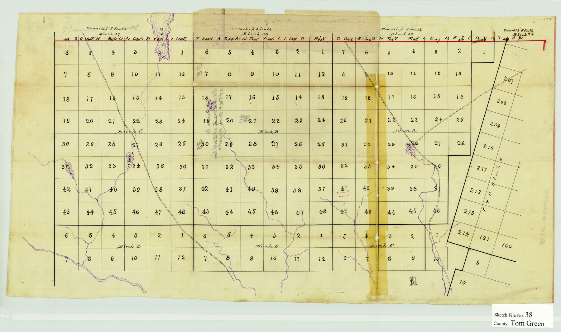
Tom Green County Sketch File 38
[Sketch of Blocks A, B, C, D, E, and F south of the South Boundary Line of the T&P Reserve in Reagan and Upton Counties]
-
Map/Doc
12438
-
Collection
General Map Collection
-
Counties
Reagan Upton
-
Subjects
Surveying Sketch File
-
Height x Width
13.7 x 23.0 inches
34.8 x 58.4 cm
-
Medium
paper, manuscript
Part of: General Map Collection
Menard County Sketch File 1

Print $4.00
- Digital $50.00
Menard County Sketch File 1
1859
Size 9.8 x 8.5 inches
Map/Doc 31484
Ochiltree County Boundary File 5

Print $54.00
- Digital $50.00
Ochiltree County Boundary File 5
Size 9.3 x 8.3 inches
Map/Doc 57684
Flight Mission No. BQR-13K, Frame 116, Brazoria County

Print $20.00
- Digital $50.00
Flight Mission No. BQR-13K, Frame 116, Brazoria County
1952
Size 18.7 x 22.4 inches
Map/Doc 84077
Hardin County Sketch File 57

Print $40.00
- Digital $50.00
Hardin County Sketch File 57
Size 15.4 x 14.1 inches
Map/Doc 25228
El Paso County Sketch File 18

Print $20.00
- Digital $50.00
El Paso County Sketch File 18
Size 19.0 x 23.8 inches
Map/Doc 11454
Brewster County Rolled Sketch 97

Print $20.00
- Digital $50.00
Brewster County Rolled Sketch 97
1952
Size 31.6 x 30.7 inches
Map/Doc 5254
Cass County Working Sketch 34

Print $20.00
- Digital $50.00
Cass County Working Sketch 34
1982
Size 21.1 x 24.6 inches
Map/Doc 67937
Wilson County Working Sketch 10

Print $20.00
- Digital $50.00
Wilson County Working Sketch 10
1980
Size 16.6 x 11.7 inches
Map/Doc 72590
Wharton County Sketch File 24

Print $20.00
- Digital $50.00
Wharton County Sketch File 24
1919
Size 19.9 x 25.5 inches
Map/Doc 12668
Randall County Rolled Sketch 1

Print $20.00
- Digital $50.00
Randall County Rolled Sketch 1
1889
Size 21.1 x 35.1 inches
Map/Doc 9807
Flight Mission No. BRA-16M, Frame 75, Jefferson County

Print $20.00
- Digital $50.00
Flight Mission No. BRA-16M, Frame 75, Jefferson County
1953
Size 18.6 x 22.3 inches
Map/Doc 85692
Crane County Working Sketch 25

Print $20.00
- Digital $50.00
Crane County Working Sketch 25
1969
Size 33.0 x 26.3 inches
Map/Doc 68302
You may also like
Wise County Sketch File 1

Print $4.00
- Digital $50.00
Wise County Sketch File 1
1855
Size 11.9 x 7.6 inches
Map/Doc 40521
Uvalde County Rolled Sketch 19

Print $20.00
- Digital $50.00
Uvalde County Rolled Sketch 19
Size 21.9 x 20.2 inches
Map/Doc 8103
Le Golfe de Mexique, et les Provinces et Isles qui l'Environe comme sont la Floride au nord, le Mexique ou Nouvelle Espagne a l'ouest, la Terre-Ferme au sud, les Is. Antilles, Lucayes, St. Domingue et Jamaique a l'est

Print $20.00
- Digital $50.00
Le Golfe de Mexique, et les Provinces et Isles qui l'Environe comme sont la Floride au nord, le Mexique ou Nouvelle Espagne a l'ouest, la Terre-Ferme au sud, les Is. Antilles, Lucayes, St. Domingue et Jamaique a l'est
1717
Size 20.2 x 25.7 inches
Map/Doc 95923
Harris County Rolled Sketch T2

Print $20.00
- Digital $50.00
Harris County Rolled Sketch T2
1916
Size 26.8 x 23.2 inches
Map/Doc 6145
[E. T. RR. Block 1]
![93186, [E. T. RR. Block 1], Twichell Survey Records](https://historictexasmaps.com/wmedia_w700/maps/93186-1.tif.jpg)
Print $40.00
- Digital $50.00
[E. T. RR. Block 1]
Size 69.6 x 52.7 inches
Map/Doc 93186
Brazoria County Rolled Sketch 49

Print $20.00
- Digital $50.00
Brazoria County Rolled Sketch 49
1948
Size 23.8 x 36.1 inches
Map/Doc 5182
Briscoe County Sketch File 6

Print $40.00
- Digital $50.00
Briscoe County Sketch File 6
Size 29.8 x 24.6 inches
Map/Doc 10995
Nueces County Working Sketch 4

Print $20.00
- Digital $50.00
Nueces County Working Sketch 4
1951
Size 46.8 x 36.2 inches
Map/Doc 71306
Ownership Map Midland Co., Texas

Ownership Map Midland Co., Texas
1951
Size 43.2 x 45.3 inches
Map/Doc 89914
Uvalde County Working Sketch 13

Print $20.00
- Digital $50.00
Uvalde County Working Sketch 13
1943
Size 27.9 x 21.6 inches
Map/Doc 72083
Morris County Working Sketch 5

Print $20.00
- Digital $50.00
Morris County Working Sketch 5
1965
Size 24.7 x 18.9 inches
Map/Doc 71204
[Blocks M13, S1, C3, JK3, and JK]
![90701, [Blocks M13, S1, C3, JK3, and JK], Twichell Survey Records](https://historictexasmaps.com/wmedia_w700/maps/90701-1.tif.jpg)
Print $20.00
- Digital $50.00
[Blocks M13, S1, C3, JK3, and JK]
Size 26.6 x 15.3 inches
Map/Doc 90701