[Kansas City, Mexico & Orient]
Z-2-67
-
Map/Doc
64268
-
Collection
General Map Collection
-
Object Dates
1904 (Creation Date)
-
Counties
Presidio
-
Subjects
Railroads
-
Height x Width
16.2 x 123.7 inches
41.2 x 314.2 cm
-
Medium
blueprint/diazo
-
Comments
See counter nos. 64269 and 64270 for other sheets of the map. See 64263 (PDF) for the documents/letter that accompanied the map.
-
Features
KCM&O
Rio Grande River
Part of: General Map Collection
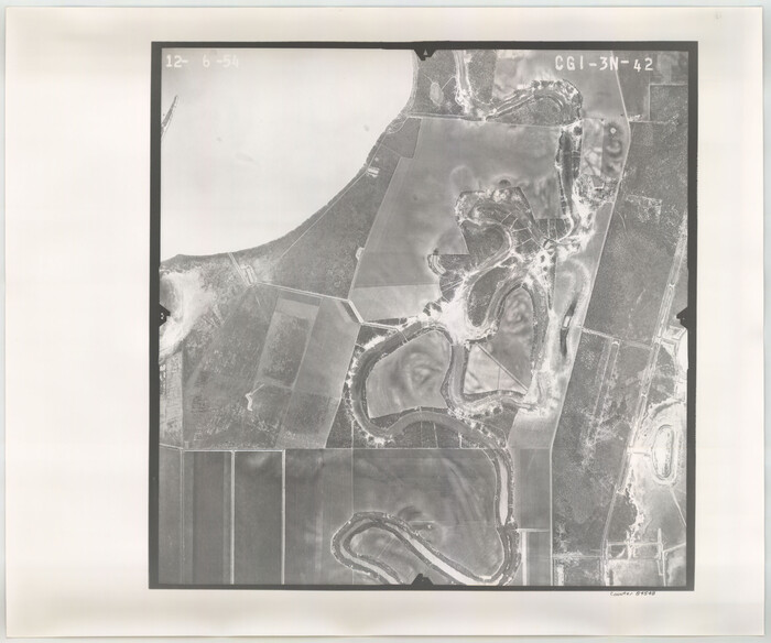
Flight Mission No. CGI-3N, Frame 42, Cameron County

Print $20.00
- Digital $50.00
Flight Mission No. CGI-3N, Frame 42, Cameron County
1954
Size 18.5 x 22.1 inches
Map/Doc 84548
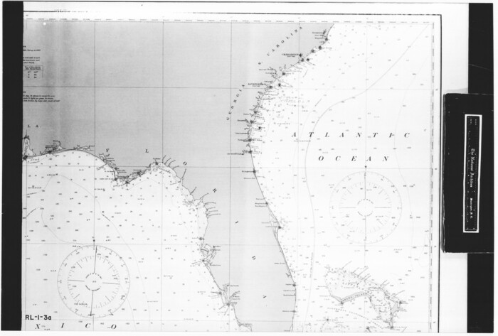
Gulf of Mexico

Print $20.00
- Digital $50.00
Gulf of Mexico
1908
Size 18.3 x 27.1 inches
Map/Doc 72656
Presidio County Working Sketch 28


Print $20.00
- Digital $50.00
Presidio County Working Sketch 28
1945
Size 19.9 x 13.4 inches
Map/Doc 71704
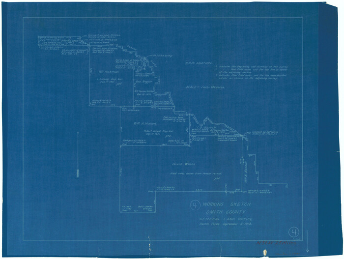
Smith County Working Sketch 4

Print $20.00
- Digital $50.00
Smith County Working Sketch 4
1913
Size 13.5 x 17.9 inches
Map/Doc 63889
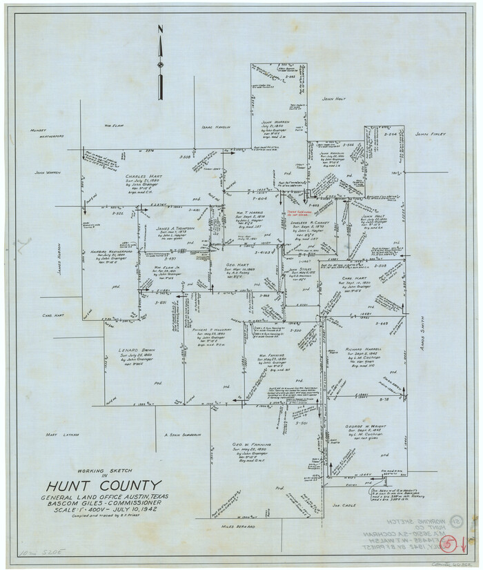
Hunt County Working Sketch 5

Print $20.00
- Digital $50.00
Hunt County Working Sketch 5
1942
Size 23.8 x 20.2 inches
Map/Doc 66352
McMullen County Rolled Sketch 11


Print $20.00
- Digital $50.00
McMullen County Rolled Sketch 11
Size 32.2 x 22.3 inches
Map/Doc 6728
Fannin County Sketch File 7

Print $40.00
- Digital $50.00
Fannin County Sketch File 7
1857
Size 16.8 x 13.5 inches
Map/Doc 22451
Harris County Rolled Sketch J


Print $40.00
- Digital $50.00
Harris County Rolled Sketch J
1933
Size 53.6 x 41.6 inches
Map/Doc 9122
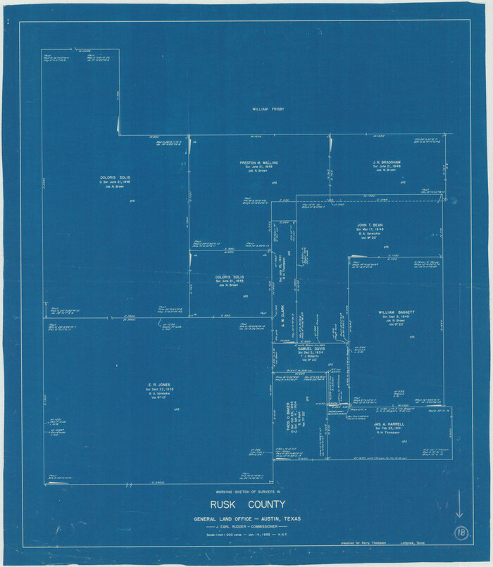
Rusk County Working Sketch 18

Print $20.00
- Digital $50.00
Rusk County Working Sketch 18
1955
Size 32.6 x 28.3 inches
Map/Doc 63653
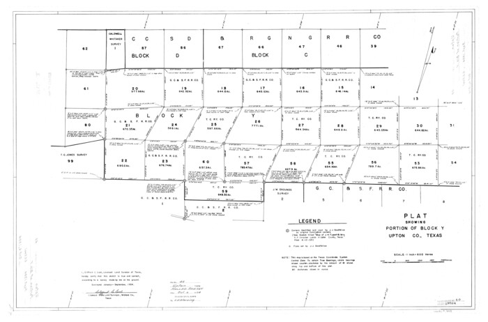
Upton County Rolled Sketch 40

Print $20.00
- Digital $50.00
Upton County Rolled Sketch 40
Size 26.2 x 39.7 inches
Map/Doc 8079
Bandera County Working Sketch 35
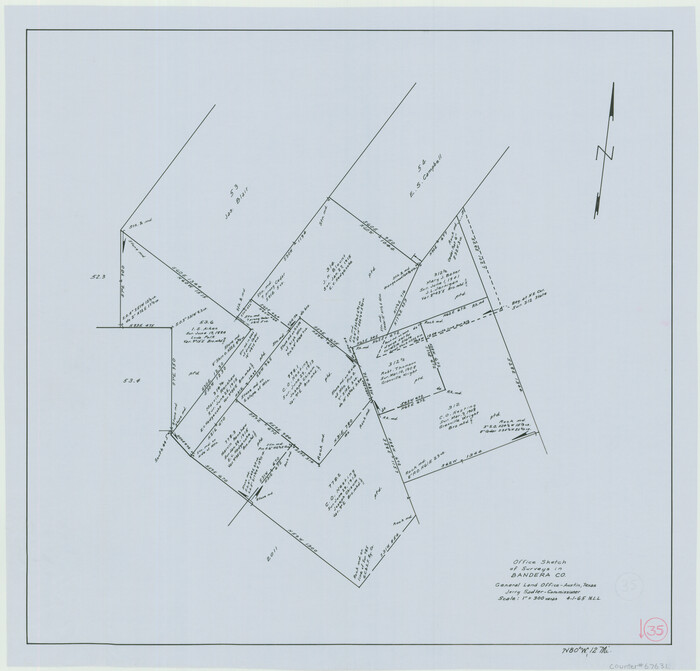

Print $20.00
- Digital $50.00
Bandera County Working Sketch 35
1965
Size 20.8 x 21.6 inches
Map/Doc 67631
Neches River, Texas Agricultural Experiment Station
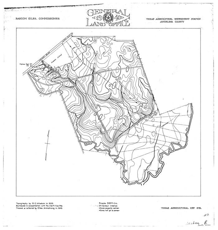

Print $4.00
- Digital $50.00
Neches River, Texas Agricultural Experiment Station
1940
Size 21.7 x 20.6 inches
Map/Doc 65080
You may also like
Harris County Working Sketch 73
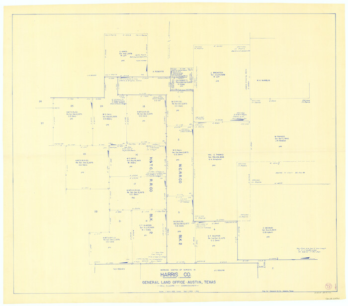

Print $20.00
- Digital $50.00
Harris County Working Sketch 73
1959
Size 33.5 x 38.1 inches
Map/Doc 65965
Shelby County Sketch File 14


Print $4.00
- Digital $50.00
Shelby County Sketch File 14
1872
Size 9.8 x 8.9 inches
Map/Doc 36622
Wichita County Sketch File 4


Print $20.00
- Digital $50.00
Wichita County Sketch File 4
1856
Size 9.8 x 33.2 inches
Map/Doc 76764
El Paso County Boundary File 23
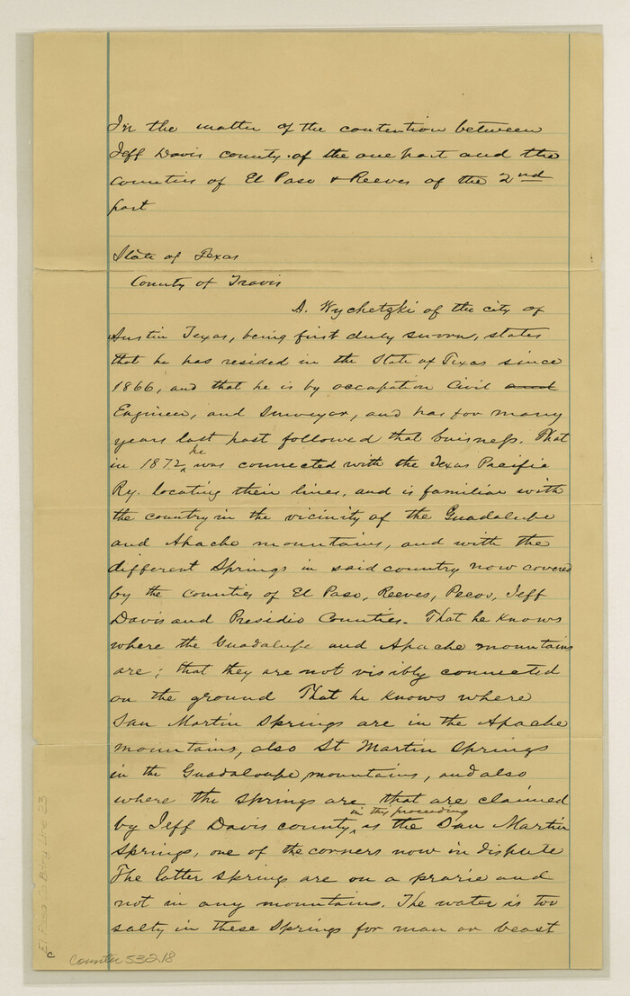

Print $9.00
- Digital $50.00
El Paso County Boundary File 23
Size 14.9 x 9.4 inches
Map/Doc 53218
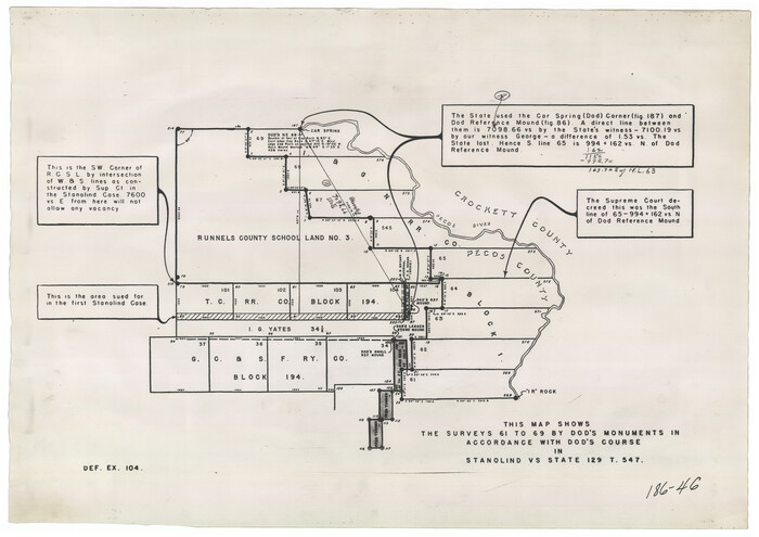
This Map Shows the Surveys 61 to 69 by Dod's Monuments in Accordance with Dod's Course in Stanolind vs. State

Print $20.00
- Digital $50.00
This Map Shows the Surveys 61 to 69 by Dod's Monuments in Accordance with Dod's Course in Stanolind vs. State
Size 17.6 x 12.5 inches
Map/Doc 91688
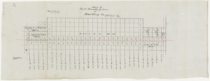
Hartley County Boundary File 3a

Print $42.00
- Digital $50.00
Hartley County Boundary File 3a
Size 8.6 x 22.0 inches
Map/Doc 54483
Chambers County NRC Article 33.136 Sketch 10


Print $44.00
- Digital $50.00
Chambers County NRC Article 33.136 Sketch 10
2014
Size 24.0 x 36.0 inches
Map/Doc 94498
Lamb County Boundary File 2

Print $102.00
- Digital $50.00
Lamb County Boundary File 2
Size 15.4 x 9.1 inches
Map/Doc 56057
Flight Mission No. DCL-6C, Frame 76, Kenedy County


Print $20.00
- Digital $50.00
Flight Mission No. DCL-6C, Frame 76, Kenedy County
1943
Size 18.6 x 22.3 inches
Map/Doc 85918
Fannin County Working Sketch 10


Print $20.00
- Digital $50.00
Fannin County Working Sketch 10
1989
Size 26.5 x 38.0 inches
Map/Doc 69164
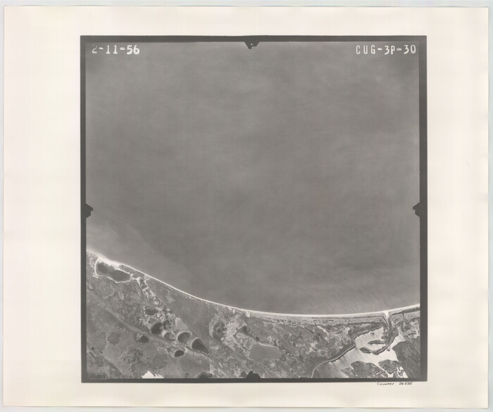
Flight Mission No. CUG-3P, Frame 30, Kleberg County

Print $20.00
- Digital $50.00
Flight Mission No. CUG-3P, Frame 30, Kleberg County
1956
Size 18.5 x 22.2 inches
Map/Doc 86235
![64268, [Kansas City, Mexico & Orient], General Map Collection](https://historictexasmaps.com/wmedia_w1800h1800/maps/64268-1.tif.jpg)
