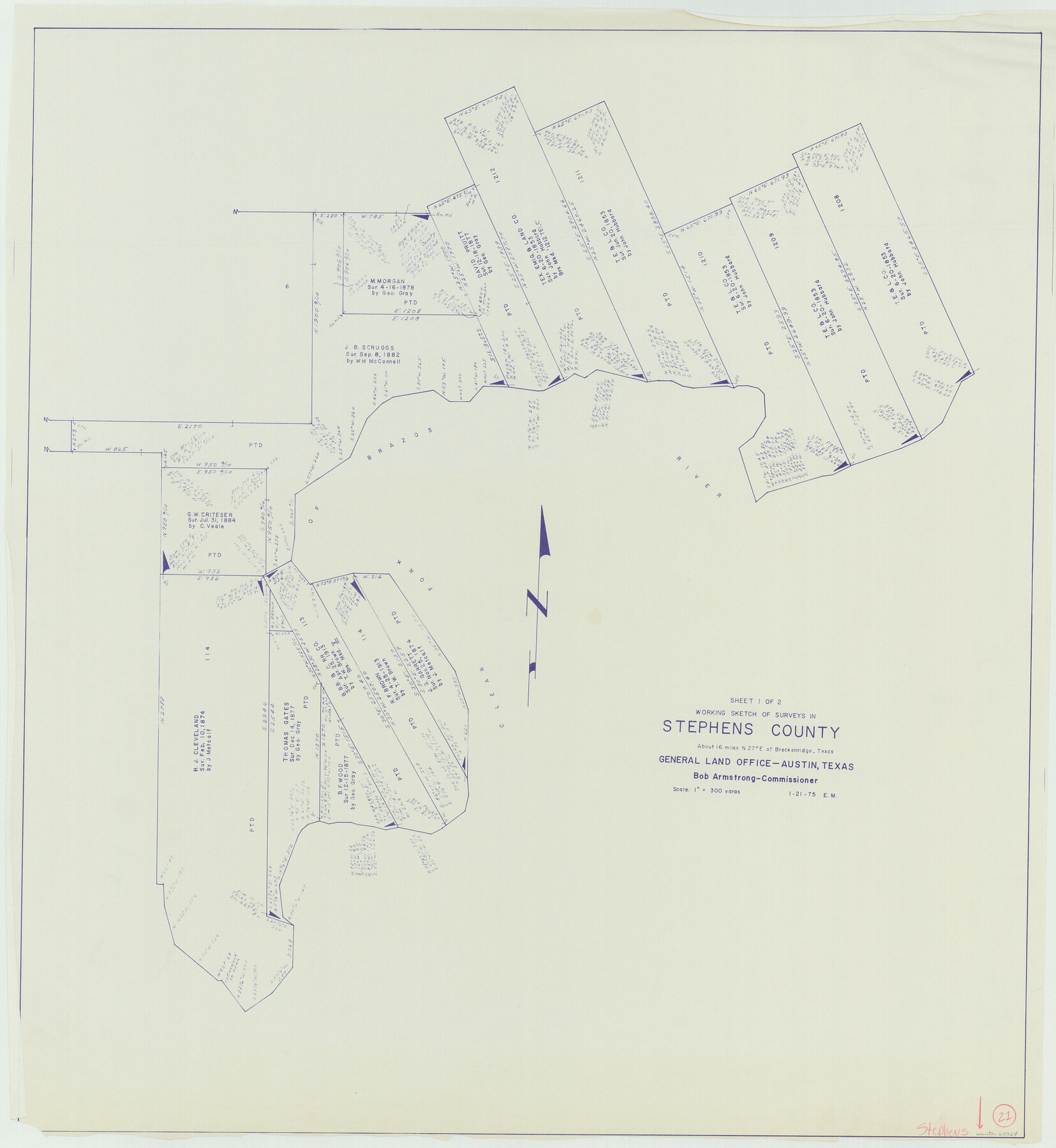
Stephens County Working Sketch 21
-
Map/Doc
63964
-
Collection
General Map Collection
-
Object Dates
1/21/1975 (Creation Date)
-
People and Organizations
Elbert Menzel (Draftsman)
-
Counties
Stephens
-
Subjects
Surveying Working Sketch
-
Height x Width
34.7 x 31.9 inches
88.1 x 81.0 cm
-
Scale
1" = 300 varas
Part of: General Map Collection
Val Verde County Rolled Sketch 52

Print $20.00
- Digital $50.00
Val Verde County Rolled Sketch 52
1937
Size 31.8 x 23.0 inches
Map/Doc 8121
Uvalde County Working Sketch 67

Print $20.00
- Digital $50.00
Uvalde County Working Sketch 67
2016
Size 24.4 x 36.6 inches
Map/Doc 94082
Fannin County Working Sketch 3

Print $20.00
- Digital $50.00
Fannin County Working Sketch 3
1925
Size 22.2 x 30.0 inches
Map/Doc 69157

Hockley County Sketch File 7

Print $20.00
- Digital $50.00
Hockley County Sketch File 7
Size 21.0 x 22.5 inches
Map/Doc 11770
Kimble County Working Sketch 33

Print $20.00
- Digital $50.00
Kimble County Working Sketch 33
1945
Size 29.8 x 29.2 inches
Map/Doc 70101
DeWitt County Working Sketch 2b

Print $20.00
- Digital $50.00
DeWitt County Working Sketch 2b
1940
Size 25.1 x 30.0 inches
Map/Doc 68647
Culberson County Working Sketch 61

Print $40.00
- Digital $50.00
Culberson County Working Sketch 61
1974
Size 74.9 x 34.0 inches
Map/Doc 68515
Map of Wise County Texas

Print $20.00
- Digital $50.00
Map of Wise County Texas
1912
Size 31.3 x 28.8 inches
Map/Doc 4644
Carte Geo-Hydrographique du Golfe du Mexique et de ses Isles construite d'après les mémoires les plus recens, et assujeties, pour l'emplacement de ces principales positions aux latitudes et longitudes

Print $20.00
- Digital $50.00
Carte Geo-Hydrographique du Golfe du Mexique et de ses Isles construite d'après les mémoires les plus recens, et assujeties, pour l'emplacement de ces principales positions aux latitudes et longitudes
1771
Size 15.0 x 20.5 inches
Map/Doc 94108
Wise County Sketch File 7

Print $4.00
- Digital $50.00
Wise County Sketch File 7
1857
Size 8.1 x 14.0 inches
Map/Doc 40535
Sutton County Rolled Sketch 40

Print $20.00
- Digital $50.00
Sutton County Rolled Sketch 40
1930
Size 25.9 x 28.3 inches
Map/Doc 7882
You may also like
Flight Mission No. CRE-2R, Frame 156, Jackson County

Print $20.00
- Digital $50.00
Flight Mission No. CRE-2R, Frame 156, Jackson County
1956
Size 16.2 x 16.1 inches
Map/Doc 85367
Kerr County Rolled Sketch 16

Print $20.00
- Digital $50.00
Kerr County Rolled Sketch 16
1951
Size 40.6 x 31.1 inches
Map/Doc 9346
Eastland County Sketch File 4

Print $4.00
- Digital $50.00
Eastland County Sketch File 4
1861
Size 11.8 x 6.9 inches
Map/Doc 21568
Orange County Working Sketch 54b

Print $40.00
- Digital $50.00
Orange County Working Sketch 54b
2008
Size 38.0 x 50.3 inches
Map/Doc 88743
Falls County Working Sketch 2

Print $20.00
- Digital $50.00
Falls County Working Sketch 2
1922
Size 19.0 x 30.0 inches
Map/Doc 69177
Tom Green County Rolled Sketch 1

Print $20.00
- Digital $50.00
Tom Green County Rolled Sketch 1
Size 29.8 x 25.4 inches
Map/Doc 7991
Sketch in Hardeman Co.

Print $3.00
- Digital $50.00
Sketch in Hardeman Co.
1890
Size 12.4 x 11.0 inches
Map/Doc 75925
Outer Continental Shelf Leasing Maps (Louisiana Offshore Operations)

Print $20.00
- Digital $50.00
Outer Continental Shelf Leasing Maps (Louisiana Offshore Operations)
1955
Size 17.8 x 11.6 inches
Map/Doc 76083
Hopkins County Sketch File 10a

Print $4.00
- Digital $50.00
Hopkins County Sketch File 10a
1856
Size 12.2 x 7.8 inches
Map/Doc 26702
Webb County Working Sketch 3

Print $20.00
- Digital $50.00
Webb County Working Sketch 3
1906
Size 18.2 x 27.2 inches
Map/Doc 72368
General Highway Map. Detail of Cities and Towns in Taylor County, Texas [Abilene and vicinity]
![79255, General Highway Map. Detail of Cities and Towns in Taylor County, Texas [Abilene and vicinity], Texas State Library and Archives](https://historictexasmaps.com/wmedia_w700/maps/79255.tif.jpg)
Print $20.00
General Highway Map. Detail of Cities and Towns in Taylor County, Texas [Abilene and vicinity]
1940
Size 18.5 x 24.9 inches
Map/Doc 79255
Bowie County Rolled Sketch 6A

Print $20.00
- Digital $50.00
Bowie County Rolled Sketch 6A
1992
Size 11.3 x 17.8 inches
Map/Doc 5162