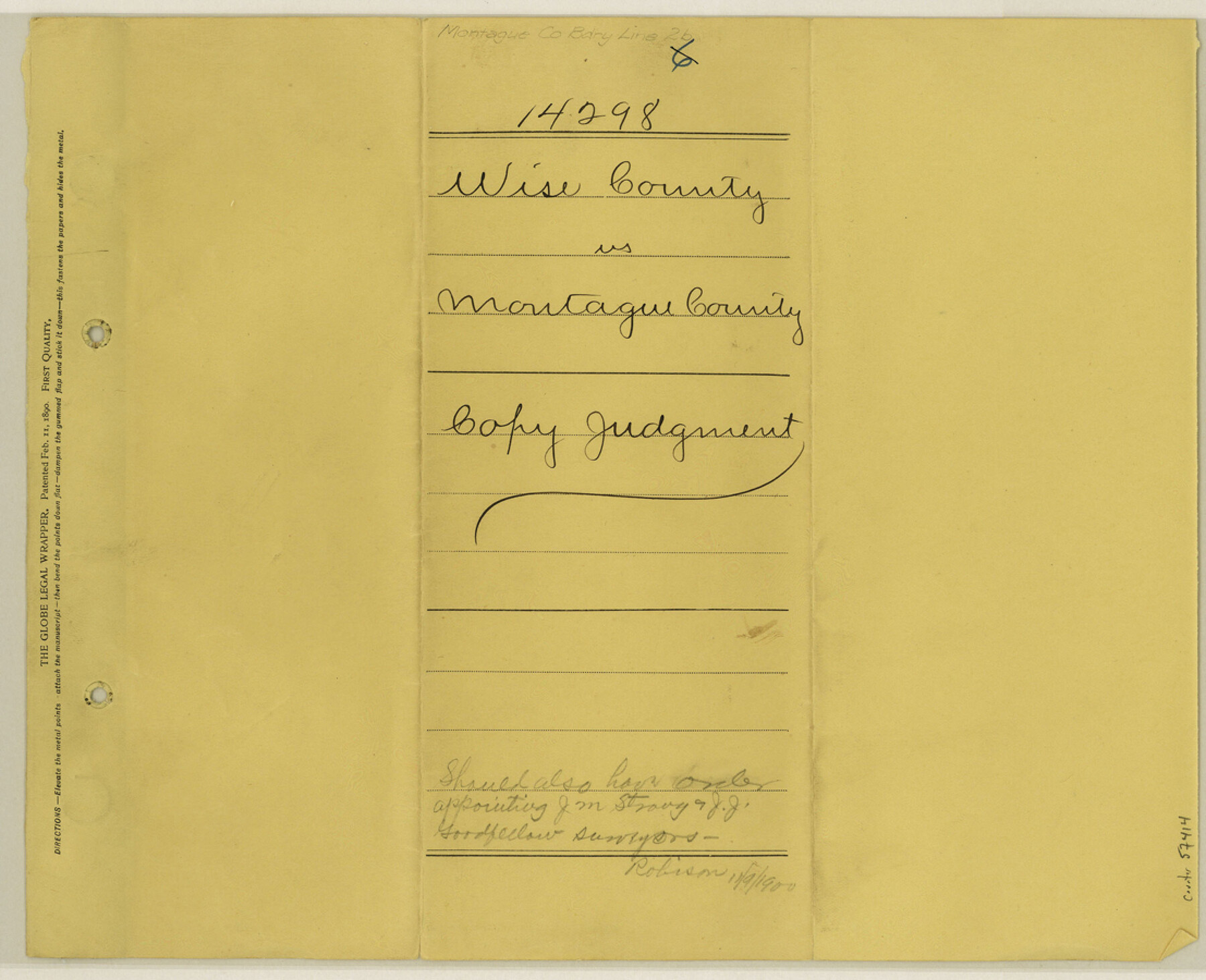
Montague County Boundary File 2b
Wise County vs. Montague County Copy Judgment
-
Map/Doc
57414
-
Collection
General Map Collection
-
Counties
Montague
-
Subjects
County Boundaries
-
Height x Width
9.0 x 11.1 inches
22.9 x 28.2 cm
Part of: General Map Collection
Coke County Rolled Sketch 14B

Print $20.00
- Digital $50.00
Coke County Rolled Sketch 14B
Size 16.3 x 19.3 inches
Map/Doc 5516
Flight Mission No. DQN-2K, Frame 161, Calhoun County

Print $20.00
- Digital $50.00
Flight Mission No. DQN-2K, Frame 161, Calhoun County
1953
Size 18.5 x 22.3 inches
Map/Doc 84323
Flight Mission No. DQN-1K, Frame 143, Calhoun County

Print $20.00
- Digital $50.00
Flight Mission No. DQN-1K, Frame 143, Calhoun County
1953
Size 18.5 x 22.1 inches
Map/Doc 84206
Brewster County Rolled Sketch 128

Print $20.00
- Digital $50.00
Brewster County Rolled Sketch 128
1978
Size 24.9 x 28.0 inches
Map/Doc 5300
Presidio County Rolled Sketch 139

Print $20.00
- Digital $50.00
Presidio County Rolled Sketch 139
2002
Size 24.5 x 27.5 inches
Map/Doc 78647
Grayson County Working Sketch 5

Print $20.00
- Digital $50.00
Grayson County Working Sketch 5
1939
Size 28.4 x 40.6 inches
Map/Doc 63244
Montgomery County Sketch File 4

Print $8.00
- Digital $50.00
Montgomery County Sketch File 4
1854
Size 12.0 x 8.1 inches
Map/Doc 31775
Tarrant County Working Sketch 22

Print $20.00
- Digital $50.00
Tarrant County Working Sketch 22
2001
Size 27.5 x 23.0 inches
Map/Doc 62439
Harris County Working Sketch 20

Print $20.00
- Digital $50.00
Harris County Working Sketch 20
1923
Size 11.7 x 12.4 inches
Map/Doc 65912
Hardeman County Working Sketch 14

Print $20.00
- Digital $50.00
Hardeman County Working Sketch 14
Size 30.8 x 42.2 inches
Map/Doc 63395
Edwards County Working Sketch 44

Print $20.00
- Digital $50.00
Edwards County Working Sketch 44
1950
Size 44.1 x 26.0 inches
Map/Doc 68920
Montgomery County Working Sketch 12

Print $20.00
- Digital $50.00
Montgomery County Working Sketch 12
1933
Size 32.5 x 31.9 inches
Map/Doc 71119
You may also like
Swisher County Working Sketch 5

Print $20.00
- Digital $50.00
Swisher County Working Sketch 5
1973
Size 16.0 x 26.5 inches
Map/Doc 62416
[Surveys in the Robertson District along the Trinity River and Richland Creek]
![104, [Surveys in the Robertson District along the Trinity River and Richland Creek], General Map Collection](https://historictexasmaps.com/wmedia_w700/maps/104.tif.jpg)
Print $20.00
- Digital $50.00
[Surveys in the Robertson District along the Trinity River and Richland Creek]
1841
Size 15.3 x 12.2 inches
Map/Doc 104
Donley County

Print $20.00
- Digital $50.00
Donley County
1944
Size 46.0 x 40.5 inches
Map/Doc 73134
Dickens County Boundary File 3

Print $28.00
- Digital $50.00
Dickens County Boundary File 3
Size 14.1 x 8.8 inches
Map/Doc 52541
Aransas County NRC Article 33.136 Sketch 22

Print $24.00
Aransas County NRC Article 33.136 Sketch 22
2023
Map/Doc 97270
Denton County Sketch File 43

Print $20.00
- Digital $50.00
Denton County Sketch File 43
2006
Size 11.0 x 8.5 inches
Map/Doc 83610
Right of Way and Track Map, International & Gt. Northern Ry. Operated by the International & Gt. Northern Ry. Co., Gulf Division

Print $40.00
- Digital $50.00
Right of Way and Track Map, International & Gt. Northern Ry. Operated by the International & Gt. Northern Ry. Co., Gulf Division
1917
Size 25.2 x 55.9 inches
Map/Doc 64253
Martin County Working Sketch 12

Print $40.00
- Digital $50.00
Martin County Working Sketch 12
1971
Size 48.2 x 35.6 inches
Map/Doc 70830
Kimble County Sketch File 43

Print $16.00
- Digital $50.00
Kimble County Sketch File 43
2021
Size 11.0 x 8.5 inches
Map/Doc 96811
Flight Mission No. DCL-7C, Frame 59, Kenedy County

Print $20.00
- Digital $50.00
Flight Mission No. DCL-7C, Frame 59, Kenedy County
1943
Size 15.4 x 15.2 inches
Map/Doc 86047
Denison Dam Quadrangle

Print $20.00
- Digital $50.00
Denison Dam Quadrangle
1999
Size 35.4 x 23.4 inches
Map/Doc 97366
Flight Mission No. DCL-6C, Frame 180, Kenedy County

Print $20.00
- Digital $50.00
Flight Mission No. DCL-6C, Frame 180, Kenedy County
1943
Size 18.5 x 22.4 inches
Map/Doc 85992