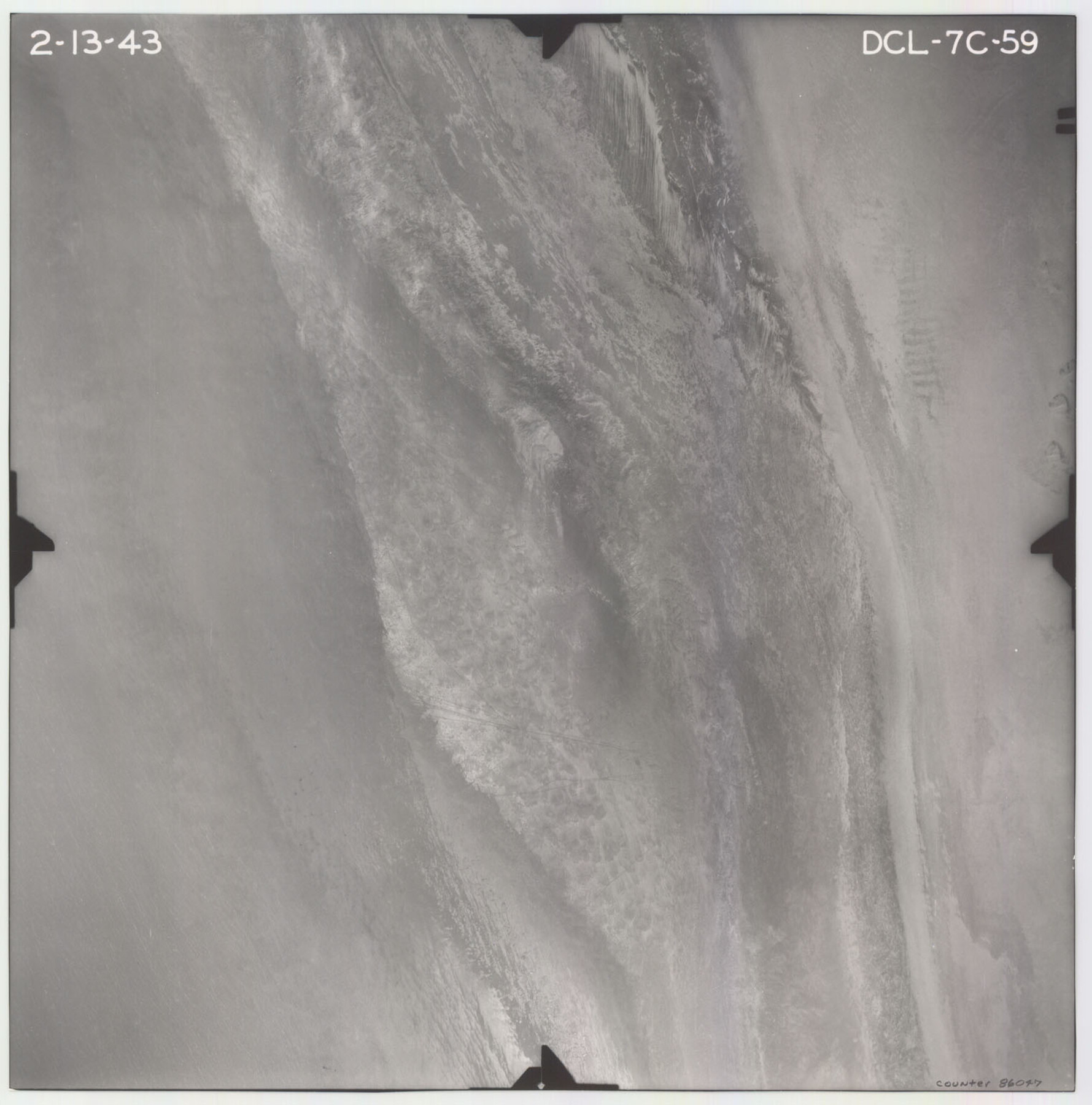
Flight Mission No. DCL-7C, Frame 59, Kenedy County
DCL-7C-59
-
Map/Doc
86047
-
Collection
General Map Collection
-
Object Dates
1943/2/13 (Creation Date)
-
People and Organizations
U. S. Department of Agriculture (Publisher)
-
Counties
Kenedy
-
Subjects
Aerial Photograph
-
Height x Width
15.4 x 15.2 inches
39.1 x 38.6 cm
-
Comments
Flown by Aerial Surveys of Pittsburgh, Inc. of Pittsburgh, Pennsylvania.
Part of: General Map Collection
Map of Surveys Made for the T&PRR in Borden, Howard & Mitchell Counties, Blocks 27, 28, 29, 30 & 31, Reserve West of the Colorado

Print $20.00
- Digital $50.00
Map of Surveys Made for the T&PRR in Borden, Howard & Mitchell Counties, Blocks 27, 28, 29, 30 & 31, Reserve West of the Colorado
1876
Size 42.8 x 39.7 inches
Map/Doc 2230
El Paso County Rolled Sketch 63

Print $20.00
- Digital $50.00
El Paso County Rolled Sketch 63
1996
Size 24.7 x 36.8 inches
Map/Doc 5855
Jefferson County NRC Article 33.136 Sketch 14

Print $164.00
- Digital $50.00
Jefferson County NRC Article 33.136 Sketch 14
2021
Map/Doc 96645
Stonewall County

Print $20.00
- Digital $50.00
Stonewall County
1889
Size 26.2 x 21.9 inches
Map/Doc 4060
Gillespie County Working Sketch 1

Print $20.00
- Digital $50.00
Gillespie County Working Sketch 1
1950
Size 23.9 x 18.7 inches
Map/Doc 63164
El Paso County Rolled Sketch 49

Print $40.00
- Digital $50.00
El Paso County Rolled Sketch 49
Size 10.5 x 99.9 inches
Map/Doc 8875
Marion County Rolled Sketch JRC

Print $20.00
- Digital $50.00
Marion County Rolled Sketch JRC
1953
Size 19.4 x 20.5 inches
Map/Doc 6662
Lynn County Sketch File 20

Print $4.00
- Digital $50.00
Lynn County Sketch File 20
1891
Size 8.8 x 10.9 inches
Map/Doc 30527
Victoria County Aerial Photograph Index Sheet 5

Print $20.00
- Digital $50.00
Victoria County Aerial Photograph Index Sheet 5
1953
Size 19.8 x 23.6 inches
Map/Doc 83749
Flight Mission No. CRC-3R, Frame 40, Chambers County

Print $20.00
- Digital $50.00
Flight Mission No. CRC-3R, Frame 40, Chambers County
1956
Size 18.6 x 22.3 inches
Map/Doc 84813
Houston Ship Channel, Alexander Island to Carpenter Bayou

Print $40.00
- Digital $50.00
Houston Ship Channel, Alexander Island to Carpenter Bayou
1982
Size 36.0 x 49.5 inches
Map/Doc 69913
Brewster County Rolled Sketch 50
Print $20.00
- Digital $50.00
Brewster County Rolled Sketch 50
1932
Size 21.0 x 26.6 inches
Map/Doc 5226
You may also like

Erath County Sketch File 11

Print $4.00
- Digital $50.00
Erath County Sketch File 11
1871
Size 12.8 x 8.1 inches
Map/Doc 22279
Palestine, Texas

Print $20.00
- Digital $50.00
Palestine, Texas
1942
Size 39.3 x 36.1 inches
Map/Doc 4834
A New Map of Texas, Oregon and California with the Regions adjoining

Print $20.00
- Digital $50.00
A New Map of Texas, Oregon and California with the Regions adjoining
1846
Size 20.4 x 19.3 inches
Map/Doc 89067
[Sketch of Norwood's Homestead]
![89646, [Sketch of Norwood's Homestead], Twichell Survey Records](https://historictexasmaps.com/wmedia_w700/maps/89646-1.tif.jpg)
Print $40.00
- Digital $50.00
[Sketch of Norwood's Homestead]
Size 31.8 x 49.7 inches
Map/Doc 89646
Upshur County Working Sketch 17

Print $40.00
- Digital $50.00
Upshur County Working Sketch 17
1997
Size 48.4 x 37.1 inches
Map/Doc 69575
Collin County Boundary File 2

Print $6.00
- Digital $50.00
Collin County Boundary File 2
Size 12.9 x 8.0 inches
Map/Doc 51682
Cameron County Rolled Sketch 21

Print $20.00
- Digital $50.00
Cameron County Rolled Sketch 21
1952
Size 27.3 x 40.2 inches
Map/Doc 8573
Clay County Sketch File 43

Print $40.00
- Digital $50.00
Clay County Sketch File 43
1891
Size 23.2 x 33.7 inches
Map/Doc 11094
General Highway Map, Aransas County, Texas

Print $20.00
General Highway Map, Aransas County, Texas
1940
Size 18.4 x 25.0 inches
Map/Doc 79004
Map of South Brady Ranch, Concho County, Texas

Print $3.00
- Digital $50.00
Map of South Brady Ranch, Concho County, Texas
1880
Size 12.9 x 10.5 inches
Map/Doc 424
Rockwall County Boundary File 6

Print $48.00
- Digital $50.00
Rockwall County Boundary File 6
Size 14.0 x 8.6 inches
Map/Doc 58420