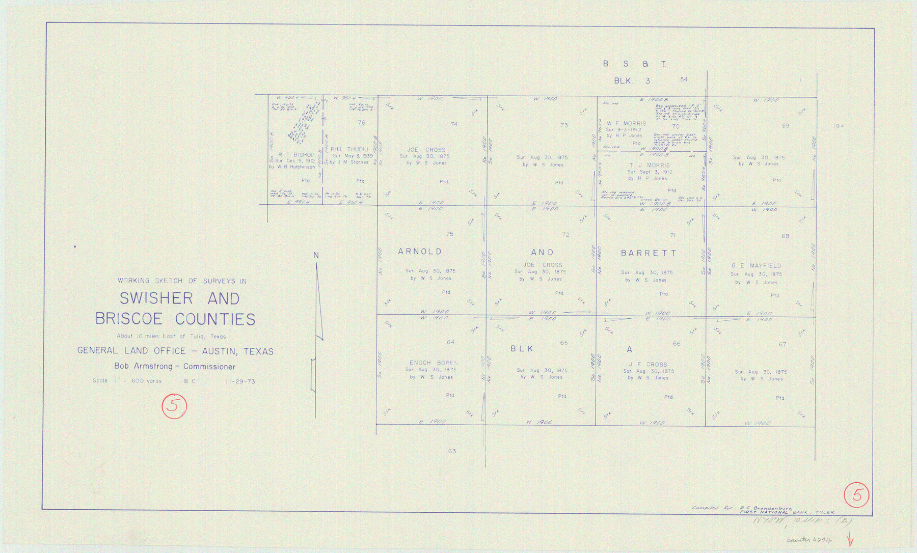
Swisher County Working Sketch 5
-
Map/Doc
62416
-
Collection
General Map Collection
-
Object Dates
11/29/1973 (Creation Date)
-
Counties
Swisher Briscoe
-
Subjects
Surveying Working Sketch
-
Height x Width
16.0 x 26.5 inches
40.6 x 67.3 cm
-
Scale
1" = 600 varas
Part of: General Map Collection
Texas, Espiritu Santo Bay

Print $40.00
- Digital $50.00
Texas, Espiritu Santo Bay
1934
Size 31.7 x 48.2 inches
Map/Doc 69996
Shelby County Rolled Sketch 8

Print $20.00
- Digital $50.00
Shelby County Rolled Sketch 8
Size 40.4 x 45.5 inches
Map/Doc 9923
Panola County Sketch File 5

Print $4.00
- Digital $50.00
Panola County Sketch File 5
1860
Size 8.3 x 5.6 inches
Map/Doc 33453
Bowie County Sketch File 8

Print $42.00
- Digital $50.00
Bowie County Sketch File 8
1927
Size 8.9 x 3.8 inches
Map/Doc 14872
Tom Green County

Print $40.00
- Digital $50.00
Tom Green County
1942
Size 55.7 x 46.7 inches
Map/Doc 95655
East Part El Paso County

Print $20.00
- Digital $50.00
East Part El Paso County
1908
Size 47.6 x 40.9 inches
Map/Doc 66814
Right of Way and Track Map International & Gt Northern Ry. operated by the International & Gt. Northern Ry. Co., San Antonio Division

Print $40.00
- Digital $50.00
Right of Way and Track Map International & Gt Northern Ry. operated by the International & Gt. Northern Ry. Co., San Antonio Division
1917
Size 25.9 x 57.5 inches
Map/Doc 64588
General Land Office and State Reclamation Department - Topographic Sheets

Print $20.00
- Digital $50.00
General Land Office and State Reclamation Department - Topographic Sheets
1930
Size 26.2 x 16.7 inches
Map/Doc 65264
Map of Hays County Travis District

Print $20.00
- Digital $50.00
Map of Hays County Travis District
1861
Size 18.6 x 26.0 inches
Map/Doc 3648
[The S.K. Ry. of Texas, State Line to Pecos, Reeves Co., Texas]
![64161, [The S.K. Ry. of Texas, State Line to Pecos, Reeves Co., Texas], General Map Collection](https://historictexasmaps.com/wmedia_w700/maps/64161.tif.jpg)
Print $40.00
- Digital $50.00
[The S.K. Ry. of Texas, State Line to Pecos, Reeves Co., Texas]
1910
Size 19.2 x 120.9 inches
Map/Doc 64161
Pecos County Rolled Sketch CM-2

Print $20.00
- Digital $50.00
Pecos County Rolled Sketch CM-2
1938
Size 33.6 x 41.3 inches
Map/Doc 9716
Brazos Santiago, Texas

Print $20.00
- Digital $50.00
Brazos Santiago, Texas
1882
Size 18.3 x 26.0 inches
Map/Doc 72986
You may also like
Brooks County Rolled Sketch 19

Print $84.00
- Digital $50.00
Brooks County Rolled Sketch 19
Size 43.3 x 59.2 inches
Map/Doc 8533
Matagorda County Rolled Sketch PHL1

Print $20.00
- Digital $50.00
Matagorda County Rolled Sketch PHL1
Size 36.5 x 39.1 inches
Map/Doc 9477
Flight Mission No. BRA-7M, Frame 205, Jefferson County

Print $20.00
- Digital $50.00
Flight Mission No. BRA-7M, Frame 205, Jefferson County
1953
Size 18.5 x 22.4 inches
Map/Doc 85573
[H. & G. N. Block 1]
![90944, [H. & G. N. Block 1], Twichell Survey Records](https://historictexasmaps.com/wmedia_w700/maps/90944-1.tif.jpg)
Print $20.00
- Digital $50.00
[H. & G. N. Block 1]
1873
Size 17.7 x 14.3 inches
Map/Doc 90944
Calhoun County Rolled Sketch 20

Print $20.00
- Digital $50.00
Calhoun County Rolled Sketch 20
1959
Size 36.9 x 20.7 inches
Map/Doc 5372
Brewster County Sketch File 22

Print $15.00
- Digital $50.00
Brewster County Sketch File 22
Size 15.7 x 10.8 inches
Map/Doc 15820
[Maps of surveys in Reeves & Culberson Cos]
![61142, [Maps of surveys in Reeves & Culberson Cos], General Map Collection](https://historictexasmaps.com/wmedia_w700/maps/61142.tif.jpg)
Print $20.00
- Digital $50.00
[Maps of surveys in Reeves & Culberson Cos]
1937
Size 30.6 x 24.8 inches
Map/Doc 61142
Bosque County Working Sketch 18

Print $20.00
- Digital $50.00
Bosque County Working Sketch 18
1976
Size 18.8 x 24.4 inches
Map/Doc 67451
[G. & M. Block 5]
![91782, [G. & M. Block 5], Twichell Survey Records](https://historictexasmaps.com/wmedia_w700/maps/91782-1.tif.jpg)
Print $20.00
- Digital $50.00
[G. & M. Block 5]
Size 31.8 x 26.6 inches
Map/Doc 91782
Blanco County Working Sketch 23

Print $40.00
- Digital $50.00
Blanco County Working Sketch 23
1962
Size 52.4 x 38.5 inches
Map/Doc 67383
[D. & P. Blk. G6 in SE Armstrong and SW Donley Counties]
![90269, [D. & P. Blk. G6 in SE Armstrong and SW Donley Counties], Twichell Survey Records](https://historictexasmaps.com/wmedia_w700/maps/90269-1.tif.jpg)
Print $3.00
- Digital $50.00
[D. & P. Blk. G6 in SE Armstrong and SW Donley Counties]
Size 11.7 x 9.4 inches
Map/Doc 90269
Wise County Sketch File 27

Print $4.00
- Digital $50.00
Wise County Sketch File 27
1857
Size 12.4 x 8.2 inches
Map/Doc 40576