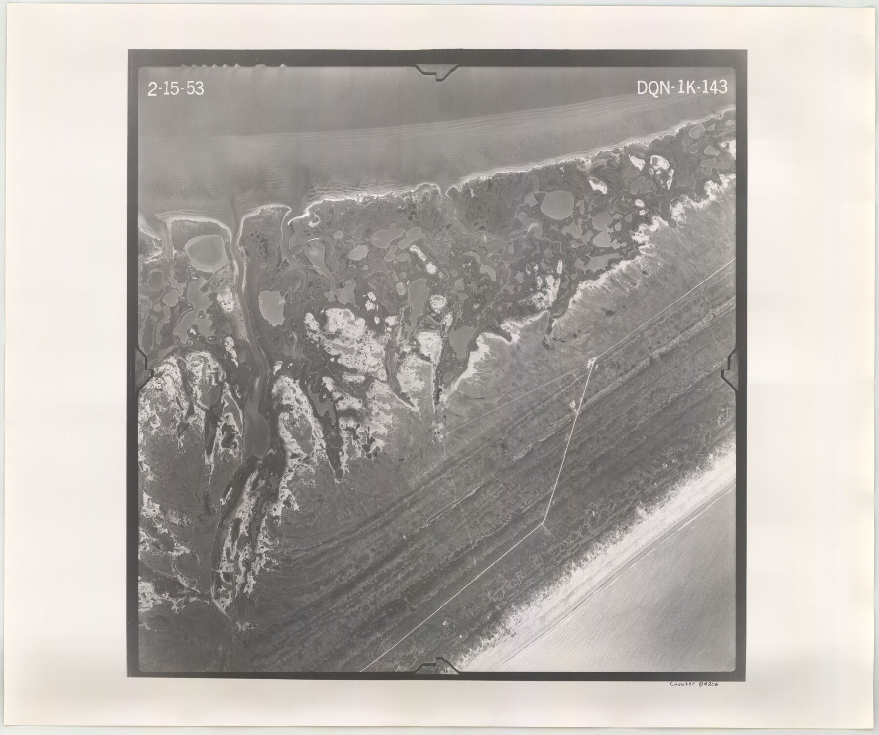
Flight Mission No. DQN-1K, Frame 143, Calhoun County
DQN-1K-143
-
Map/Doc
84206
-
Collection
General Map Collection
-
Object Dates
1953/2/15 (Creation Date)
-
People and Organizations
U. S. Department of Agriculture (Publisher)
-
Counties
Calhoun
-
Subjects
Aerial Photograph
-
Height x Width
18.5 x 22.1 inches
47.0 x 56.1 cm
-
Comments
Flown by Aero Exploration Company of Tulsa, Oklahoma.
Part of: General Map Collection
Leon County Rolled Sketch 2

Print $20.00
- Digital $50.00
Leon County Rolled Sketch 2
Size 30.7 x 34.6 inches
Map/Doc 6606
Outer Continental Shelf Leasing Maps (Texas Offshore Operations)

Print $20.00
- Digital $50.00
Outer Continental Shelf Leasing Maps (Texas Offshore Operations)
Size 12.7 x 15.2 inches
Map/Doc 76169
Potter County Sketch File 16

Print $38.00
- Digital $50.00
Potter County Sketch File 16
Size 13.0 x 13.9 inches
Map/Doc 34401
Rio Grande, La Grulla Sheet

Print $20.00
- Digital $50.00
Rio Grande, La Grulla Sheet
1931
Size 28.2 x 49.0 inches
Map/Doc 65107
Potter County Sketch File 11

Print $4.00
- Digital $50.00
Potter County Sketch File 11
1890
Size 14.0 x 8.8 inches
Map/Doc 34397
Yoakum County Rolled Sketch 3(2)

Print $40.00
- Digital $50.00
Yoakum County Rolled Sketch 3(2)
1959
Size 12.3 x 120.8 inches
Map/Doc 76040
Jack County Sketch File 5a

Print $6.00
- Digital $50.00
Jack County Sketch File 5a
1856
Size 8.6 x 9.8 inches
Map/Doc 27510
Texas Official Highway Travel Map

Digital $50.00
Texas Official Highway Travel Map
Size 27.1 x 36.2 inches
Map/Doc 94311
Presidio County Sketch File 68

Print $4.00
- Digital $50.00
Presidio County Sketch File 68
1941
Size 11.2 x 8.8 inches
Map/Doc 34662
University Land Field Notes for Blocks 39, 41, 42, 44, 45, 46, 47, 50, and 51 in Crockett County, Blocks 38 and 40 in Crockett and Irion Counties, and Blocks 48 and 49 in Crockett and Reagan Counties, and Block 43 in Crockett, Irion, and Reagan Counties

University Land Field Notes for Blocks 39, 41, 42, 44, 45, 46, 47, 50, and 51 in Crockett County, Blocks 38 and 40 in Crockett and Irion Counties, and Blocks 48 and 49 in Crockett and Reagan Counties, and Block 43 in Crockett, Irion, and Reagan Counties
Map/Doc 81718
Wise County Working Sketch 5

Print $20.00
- Digital $50.00
Wise County Working Sketch 5
1948
Size 25.7 x 23.4 inches
Map/Doc 72619
Ellis County Boundary File 6

Print $22.00
- Digital $50.00
Ellis County Boundary File 6
Size 8.6 x 6.0 inches
Map/Doc 52992
You may also like
Cherokee County Working Sketch 16

Print $20.00
- Digital $50.00
Cherokee County Working Sketch 16
1958
Size 21.9 x 22.5 inches
Map/Doc 67971
Dimmit County Sketch File 34

Print $4.00
- Digital $50.00
Dimmit County Sketch File 34
1884
Size 9.0 x 8.7 inches
Map/Doc 21153
Coke County Rolled Sketch 8

Print $20.00
- Digital $50.00
Coke County Rolled Sketch 8
Size 26.5 x 34.8 inches
Map/Doc 5507
San Jacinto County Rolled Sketch 14

Print $20.00
- Digital $50.00
San Jacinto County Rolled Sketch 14
1998
Size 28.1 x 40.0 inches
Map/Doc 7564

Potter County Working Sketch 10

Print $20.00
- Digital $50.00
Potter County Working Sketch 10
1964
Size 32.6 x 25.0 inches
Map/Doc 71670
Map of the Texas & Pacific Railway and connections

Print $20.00
- Digital $50.00
Map of the Texas & Pacific Railway and connections
1892
Size 22.5 x 31.9 inches
Map/Doc 95761
Flight Mission No. DCL-6C, Frame 18, Kenedy County

Print $20.00
- Digital $50.00
Flight Mission No. DCL-6C, Frame 18, Kenedy County
1943
Size 18.6 x 22.5 inches
Map/Doc 85875
Comanche County Sketch File 12

Print $4.00
- Digital $50.00
Comanche County Sketch File 12
1859
Size 8.5 x 15.2 inches
Map/Doc 19074
Shelby County Sketch File 6

Print $8.00
- Digital $50.00
Shelby County Sketch File 6
1854
Size 12.4 x 8.2 inches
Map/Doc 36601
Stephens County Working Sketch 31

Print $20.00
- Digital $50.00
Stephens County Working Sketch 31
1978
Size 41.9 x 30.8 inches
Map/Doc 63974
Dickens County Sketch File 21

Print $20.00
- Digital $50.00
Dickens County Sketch File 21
1911
Size 16.0 x 12.8 inches
Map/Doc 11324