Mitchell County Boundary File 1c
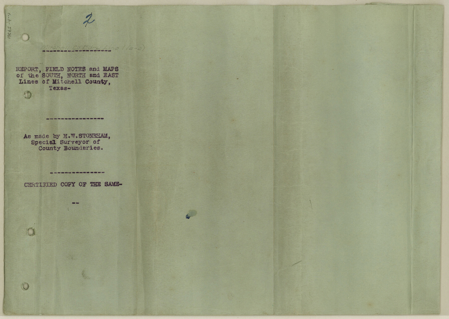
Report, Field Notes and Maps of the South, North and East Lines of Mitchell County, Texas
-
Map/Doc
57361
-
Collection
General Map Collection
-
Counties
Mitchell
-
Subjects
County Boundaries
-
Height x Width
8.7 x 12.3 inches
22.1 x 31.2 cm
Part of: General Map Collection
Map of Hopkins County

Print $20.00
- Digital $50.00
Map of Hopkins County
1856
Size 22.5 x 20.3 inches
Map/Doc 3681
Flight Mission No. CRC-3R, Frame 198, Chambers County

Print $20.00
- Digital $50.00
Flight Mission No. CRC-3R, Frame 198, Chambers County
1956
Size 18.5 x 22.2 inches
Map/Doc 84853
Crockett County Working Sketch 9

Print $20.00
- Digital $50.00
Crockett County Working Sketch 9
1912
Size 24.2 x 32.1 inches
Map/Doc 68342
Kimble County Working Sketch 32

Print $20.00
- Digital $50.00
Kimble County Working Sketch 32
1944
Size 22.6 x 16.0 inches
Map/Doc 70100
Burleson County

Print $20.00
- Digital $50.00
Burleson County
1920
Size 38.0 x 45.0 inches
Map/Doc 4790
Shackelford County Working Sketch 4

Print $20.00
- Digital $50.00
Shackelford County Working Sketch 4
1935
Size 24.8 x 36.7 inches
Map/Doc 63844
Matagorda County Working Sketch 33

Print $20.00
- Digital $50.00
Matagorda County Working Sketch 33
1998
Size 32.0 x 42.5 inches
Map/Doc 70891

Map of Martin County

Print $20.00
- Digital $50.00
Map of Martin County
1900
Size 41.4 x 36.5 inches
Map/Doc 66918
Brewster County Rolled Sketch 122

Print $20.00
- Digital $50.00
Brewster County Rolled Sketch 122
1974
Size 32.0 x 25.5 inches
Map/Doc 5297
Brewster County Rolled Sketch 56

Print $20.00
- Digital $50.00
Brewster County Rolled Sketch 56
Size 43.1 x 37.1 inches
Map/Doc 8481
Stonewall County Sketch File 23

Print $6.00
- Digital $50.00
Stonewall County Sketch File 23
1951
Size 11.3 x 8.9 inches
Map/Doc 37293
You may also like
Sabine Pass and mouth of the River Sabine in the sea

Print $20.00
- Digital $50.00
Sabine Pass and mouth of the River Sabine in the sea
1840
Size 22.5 x 18.4 inches
Map/Doc 65382
Polk County Sketch File 12

Print $4.00
- Digital $50.00
Polk County Sketch File 12
Size 9.0 x 5.8 inches
Map/Doc 34146
The Republic County of Matagorda. 1840

Print $20.00
The Republic County of Matagorda. 1840
2020
Size 21.0 x 21.7 inches
Map/Doc 96218
Eastland County Sketch File 21

Print $8.00
- Digital $50.00
Eastland County Sketch File 21
1990
Size 11.3 x 8.8 inches
Map/Doc 21622
Western United States

Print $20.00
- Digital $50.00
Western United States
1849
Size 18.8 x 27.8 inches
Map/Doc 2088
Lynn County Boundary File 6

Print $4.00
- Digital $50.00
Lynn County Boundary File 6
Size 10.9 x 8.8 inches
Map/Doc 56639
San Saba County Boundary File 1

Print $4.00
- Digital $50.00
San Saba County Boundary File 1
Size 14.2 x 8.7 inches
Map/Doc 58575
[Pecos County Sketch]
![444, [Pecos County Sketch], Maddox Collection](https://historictexasmaps.com/wmedia_w700/maps/444.tif.jpg)
Print $20.00
- Digital $50.00
[Pecos County Sketch]
1880
Size 38.5 x 31.3 inches
Map/Doc 444
Spade Ranch Hockley County, Texas

Print $20.00
- Digital $50.00
Spade Ranch Hockley County, Texas
1948
Size 14.2 x 19.0 inches
Map/Doc 92225
Stonewall County

Print $20.00
- Digital $50.00
Stonewall County
1889
Size 26.2 x 21.9 inches
Map/Doc 4060
Tyler County Sketch File 28

Print $46.00
- Digital $50.00
Tyler County Sketch File 28
1960
Size 9.8 x 8.6 inches
Map/Doc 38699
Flight Mission No. DAG-23K, Frame 174, Matagorda County

Print $20.00
- Digital $50.00
Flight Mission No. DAG-23K, Frame 174, Matagorda County
1953
Size 18.5 x 22.3 inches
Map/Doc 86512