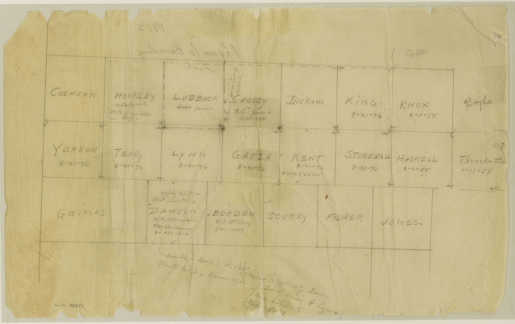
Lynn County Boundary File 14
[Sketches of County Boundary lines in Northwest Texas]
-
Map/Doc
56754
-
Collection
General Map Collection
-
Counties
Lynn
-
Subjects
County Boundaries
-
Height x Width
8.9 x 14.2 inches
22.6 x 36.1 cm
Part of: General Map Collection
Haskell County Rolled Sketch 11

Print $20.00
- Digital $50.00
Haskell County Rolled Sketch 11
1983
Size 23.0 x 28.0 inches
Map/Doc 6170
Brooks County Working Sketch 19

Print $20.00
- Digital $50.00
Brooks County Working Sketch 19
1983
Size 31.7 x 18.4 inches
Map/Doc 67803
Edwards County Rolled Sketch 8

Print $20.00
- Digital $50.00
Edwards County Rolled Sketch 8
1891
Size 16.0 x 18.7 inches
Map/Doc 5801
Jack County Rolled Sketch 3A

Print $20.00
- Digital $50.00
Jack County Rolled Sketch 3A
1985
Size 34.9 x 32.2 inches
Map/Doc 6334
Map of DeWitt County

Print $20.00
- Digital $50.00
Map of DeWitt County
1881
Size 22.9 x 26.5 inches
Map/Doc 3477
Nautical Chart 152-SC - Galveston Bay, Texas

Print $20.00
- Digital $50.00
Nautical Chart 152-SC - Galveston Bay, Texas
1972
Size 14.9 x 32.8 inches
Map/Doc 69889
Zavala County Working Sketch 29

Print $20.00
- Digital $50.00
Zavala County Working Sketch 29
1994
Size 33.1 x 42.9 inches
Map/Doc 62104
Edwards County Working Sketch 98

Print $20.00
- Digital $50.00
Edwards County Working Sketch 98
1970
Size 35.1 x 37.6 inches
Map/Doc 68974
Flight Mission No. CLL-1N, Frame 32, Willacy County

Print $20.00
- Digital $50.00
Flight Mission No. CLL-1N, Frame 32, Willacy County
1954
Size 17.5 x 19.4 inches
Map/Doc 87013
Baylor County Rolled Sketch BT

Print $20.00
- Digital $50.00
Baylor County Rolled Sketch BT
1916
Size 21.4 x 24.0 inches
Map/Doc 5131
Map of section no. 9 of a survey of Padre Island made for the Office of the Attorney General of the State of Texas

Print $40.00
- Digital $50.00
Map of section no. 9 of a survey of Padre Island made for the Office of the Attorney General of the State of Texas
1941
Size 58.3 x 42.5 inches
Map/Doc 2265
Flight Mission No. CGI-1N, Frame 216, Cameron County

Print $20.00
- Digital $50.00
Flight Mission No. CGI-1N, Frame 216, Cameron County
1955
Size 18.5 x 22.2 inches
Map/Doc 84525
You may also like
Travis County Sketch File 54

Print $20.00
- Digital $50.00
Travis County Sketch File 54
1945
Size 23.0 x 16.5 inches
Map/Doc 12470
Flight Mission No. CRK-5P, Frame 126, Refugio County

Print $20.00
- Digital $50.00
Flight Mission No. CRK-5P, Frame 126, Refugio County
1956
Size 18.7 x 22.4 inches
Map/Doc 86929
Bandera County Working Sketch 23

Print $20.00
- Digital $50.00
Bandera County Working Sketch 23
1950
Size 35.8 x 29.6 inches
Map/Doc 67619
Houston County Sketch File 40

Print $40.00
- Digital $50.00
Houston County Sketch File 40
Size 16.3 x 12.1 inches
Map/Doc 26826
Coryell County Working Sketch 23

Print $20.00
- Digital $50.00
Coryell County Working Sketch 23
1977
Size 27.6 x 30.6 inches
Map/Doc 68230

Flight Mission No. CRK-3P, Frame 63, Refugio County

Print $20.00
- Digital $50.00
Flight Mission No. CRK-3P, Frame 63, Refugio County
1956
Size 18.5 x 22.4 inches
Map/Doc 86905
Hardeman County Sketch File Y

Print $4.00
- Digital $50.00
Hardeman County Sketch File Y
Size 9.2 x 8.5 inches
Map/Doc 25054
Bastrop County

Print $40.00
- Digital $50.00
Bastrop County
1917
Size 49.7 x 42.0 inches
Map/Doc 4796
Shelby County Sketch File 12

Print $4.00
- Digital $50.00
Shelby County Sketch File 12
Size 8.2 x 10.3 inches
Map/Doc 36619
Presidio County Working Sketch 116

Print $20.00
- Digital $50.00
Presidio County Working Sketch 116
1982
Size 27.8 x 42.4 inches
Map/Doc 71793
El Paso County Working Sketch 48

Print $20.00
- Digital $50.00
El Paso County Working Sketch 48
1987
Size 32.7 x 29.4 inches
Map/Doc 69070