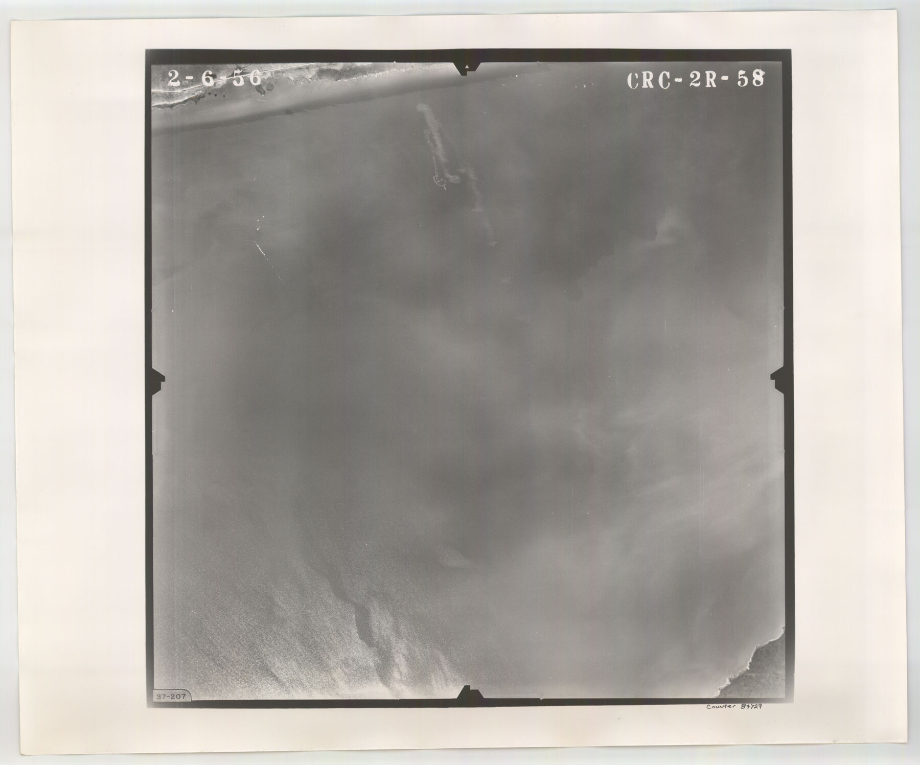
Flight Mission No. CRC-2R, Frame 58, Chambers County
CRC-2R-58
-
Map/Doc
84729
-
Collection
General Map Collection
-
Object Dates
1956/2/6 (Creation Date)
-
People and Organizations
U. S. Department of Agriculture (Publisher)
-
Counties
Chambers
-
Subjects
Aerial Photograph
-
Height x Width
18.8 x 22.6 inches
47.8 x 57.4 cm
-
Comments
Flown by Jack Ammann Photogrammetric Engineers, Inc. of San Antonio, Texas.
Part of: General Map Collection
Frio County Sketch File 10

Print $20.00
- Digital $50.00
Frio County Sketch File 10
1906
Size 19.3 x 23.2 inches
Map/Doc 11518
Palo Pinto County

Print $20.00
- Digital $50.00
Palo Pinto County
1856
Size 29.9 x 20.9 inches
Map/Doc 1394
Jeff Davis County Sketch File 4

Print $42.00
- Digital $50.00
Jeff Davis County Sketch File 4
1889
Size 12.5 x 14.7 inches
Map/Doc 27893
Hale County Working Sketch 1

Print $20.00
- Digital $50.00
Hale County Working Sketch 1
1910
Size 34.5 x 22.1 inches
Map/Doc 63321
Nueces County Rolled Sketch 105

Print $96.00
Nueces County Rolled Sketch 105
1986
Size 18.1 x 25.4 inches
Map/Doc 7086
Brooks County Working Sketch 4

Print $20.00
- Digital $50.00
Brooks County Working Sketch 4
1906
Size 28.6 x 24.9 inches
Map/Doc 67788
Val Verde County Working Sketch 70

Print $20.00
- Digital $50.00
Val Verde County Working Sketch 70
1966
Size 21.2 x 28.0 inches
Map/Doc 72205
DeWitt County Boundary File 25 1/2

Print $34.00
- Digital $50.00
DeWitt County Boundary File 25 1/2
Size 8.5 x 4.0 inches
Map/Doc 52522
Garza County Sketch File 21

Print $4.00
- Digital $50.00
Garza County Sketch File 21
1906
Size 14.4 x 8.7 inches
Map/Doc 24078

[Surveys in Bexar County]
![93, [Surveys in Bexar County], General Map Collection](https://historictexasmaps.com/wmedia_w700/maps/93.tif.jpg)
Print $2.00
- Digital $50.00
[Surveys in Bexar County]
Size 11.3 x 6.9 inches
Map/Doc 93
Wichita County Sketch File 18

Print $6.00
- Digital $50.00
Wichita County Sketch File 18
1890
Size 14.0 x 8.6 inches
Map/Doc 40099
You may also like
Amistad International Reservoir on Rio Grande 86

Print $20.00
- Digital $50.00
Amistad International Reservoir on Rio Grande 86
1949
Size 28.3 x 40.1 inches
Map/Doc 75515
Lavaca County Working Sketch 6

Print $20.00
- Digital $50.00
Lavaca County Working Sketch 6
1941
Size 20.8 x 22.0 inches
Map/Doc 70359
A New Map of the Whole Continent of America. Divided into North and South and West Indies, wherein are exactly decribed the United States of North America as well as the Several European Possessions according to the Preliminaries of Peace…

Print $40.00
- Digital $50.00
A New Map of the Whole Continent of America. Divided into North and South and West Indies, wherein are exactly decribed the United States of North America as well as the Several European Possessions according to the Preliminaries of Peace…
Size 42.8 x 48.8 inches
Map/Doc 95137
Flight Mission No. DQO-7K, Frame 99, Galveston County

Print $20.00
- Digital $50.00
Flight Mission No. DQO-7K, Frame 99, Galveston County
1952
Size 18.7 x 22.5 inches
Map/Doc 85114
[F. W. & D. C. Ry. Co. Alignment and Right of Way Map, Clay County]
![64728, [F. W. & D. C. Ry. Co. Alignment and Right of Way Map, Clay County], General Map Collection](https://historictexasmaps.com/wmedia_w700/maps/64728-1.tif.jpg)
Print $20.00
- Digital $50.00
[F. W. & D. C. Ry. Co. Alignment and Right of Way Map, Clay County]
1927
Size 18.8 x 11.7 inches
Map/Doc 64728

Flight Mission No. BRA-3M, Frame 130, Jefferson County

Print $20.00
- Digital $50.00
Flight Mission No. BRA-3M, Frame 130, Jefferson County
1953
Size 18.6 x 22.3 inches
Map/Doc 85404
Flight Mission No. CRE-2R, Frame 159, Jackson County

Print $20.00
- Digital $50.00
Flight Mission No. CRE-2R, Frame 159, Jackson County
1956
Size 18.5 x 22.2 inches
Map/Doc 85370
Lee County Working Sketch 4

Print $20.00
- Digital $50.00
Lee County Working Sketch 4
1973
Size 17.1 x 18.4 inches
Map/Doc 70383
Flight Mission No. DIX-10P, Frame 70, Aransas County

Print $20.00
- Digital $50.00
Flight Mission No. DIX-10P, Frame 70, Aransas County
1956
Size 18.7 x 22.4 inches
Map/Doc 83931
Clarendon, Texas, Donley Co.

Print $20.00
Clarendon, Texas, Donley Co.
1890
Size 17.4 x 28.6 inches
Map/Doc 93468
Trinity County Sketch File 43

Print $40.00
- Digital $50.00
Trinity County Sketch File 43
1854
Size 19.2 x 23.6 inches
Map/Doc 12495