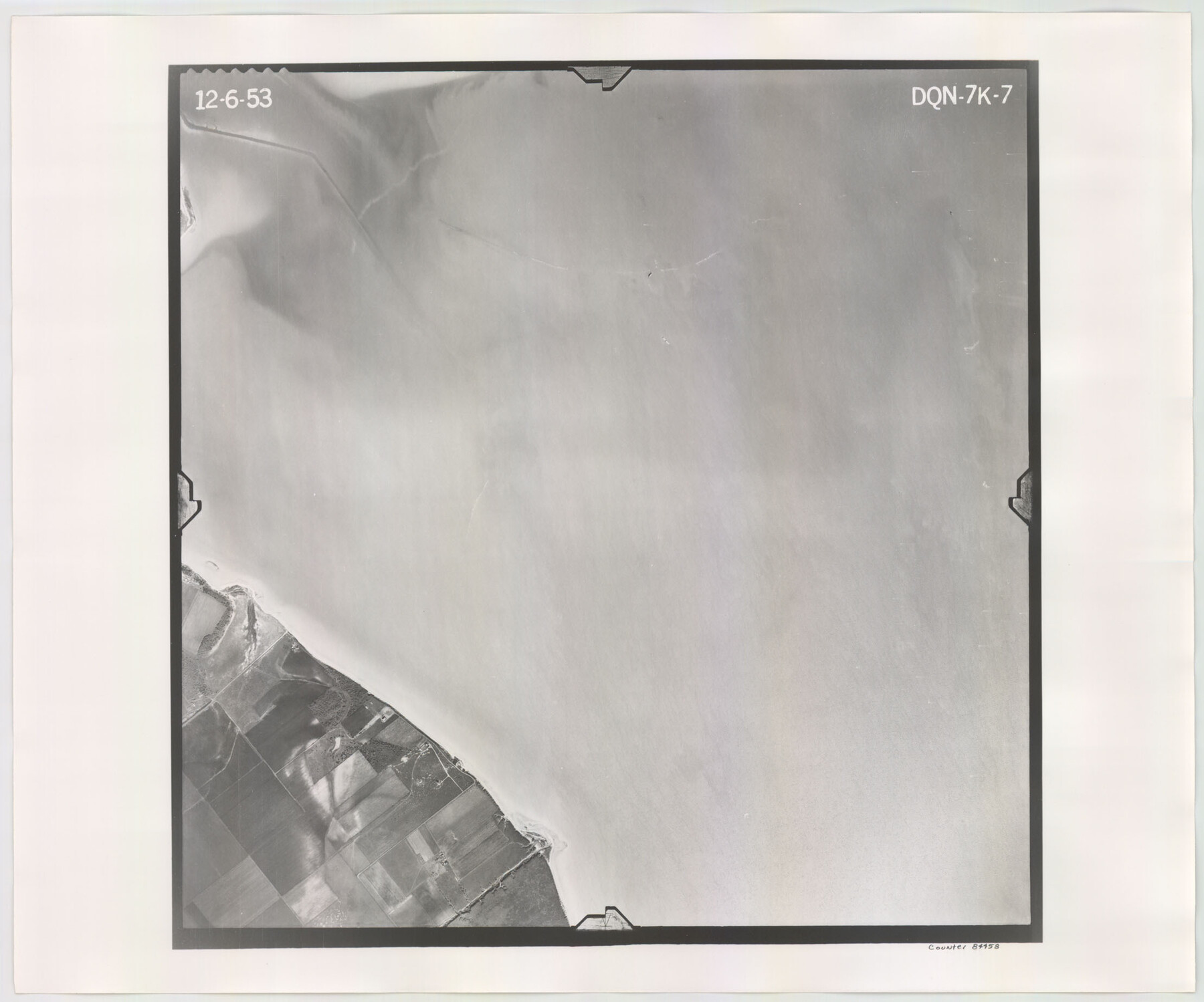
Flight Mission No. DQN-7K, Frame 7, Calhoun County
DQN-7K-7
-
Map/Doc
84458
-
Collection
General Map Collection
-
Object Dates
1953/12/6 (Creation Date)
-
People and Organizations
U. S. Department of Agriculture (Publisher)
-
Counties
Calhoun
-
Subjects
Aerial Photograph
-
Height x Width
18.5 x 22.2 inches
47.0 x 56.4 cm
-
Comments
Flown by Aero Exploration Company of Tulsa, Oklahoma.
Part of: General Map Collection
Austin County Rolled Sketch 5A

Print $40.00
- Digital $50.00
Austin County Rolled Sketch 5A
Size 54.2 x 44.1 inches
Map/Doc 8437
Travis County

Print $40.00
- Digital $50.00
Travis County
1936
Size 43.2 x 54.6 inches
Map/Doc 63078
[Pecos and Northern Texas Ry., Bailey Co., from Parmer Co. line through Lariat and Muleshoe to Lamb Co. line]
![64635, [Pecos and Northern Texas Ry., Bailey Co., from Parmer Co. line through Lariat and Muleshoe to Lamb Co. line], General Map Collection](https://historictexasmaps.com/wmedia_w700/maps/64635.tif.jpg)
Print $40.00
- Digital $50.00
[Pecos and Northern Texas Ry., Bailey Co., from Parmer Co. line through Lariat and Muleshoe to Lamb Co. line]
1912
Size 19.5 x 121.6 inches
Map/Doc 64635
Pecos County Sketch File 48

Print $4.00
- Digital $50.00
Pecos County Sketch File 48
1935
Size 14.3 x 8.8 inches
Map/Doc 33762
Williamson County Working Sketch 16

Print $20.00
- Digital $50.00
Williamson County Working Sketch 16
1984
Size 31.9 x 23.7 inches
Map/Doc 72576
Right of Way and Track Map, the Missouri, Kansas & Texas Ry. Of Texas operated by the Missouri, Kansas & Texas Ry. Of Texas, Houston Division

Print $40.00
- Digital $50.00
Right of Way and Track Map, the Missouri, Kansas & Texas Ry. Of Texas operated by the Missouri, Kansas & Texas Ry. Of Texas, Houston Division
1918
Size 25.5 x 61.9 inches
Map/Doc 64567
Dallas County Boundary File 7 and 7a and 7b

Print $8.00
- Digital $50.00
Dallas County Boundary File 7 and 7a and 7b
Size 11.2 x 8.6 inches
Map/Doc 52291
Revised Map of Calvert, Robertson County, Texas

Print $20.00
- Digital $50.00
Revised Map of Calvert, Robertson County, Texas
Size 25.4 x 19.4 inches
Map/Doc 88741
Gulf of Mexico

Print $20.00
- Digital $50.00
Gulf of Mexico
1908
Size 18.4 x 27.0 inches
Map/Doc 72657
Orange County Working Sketch 40

Print $20.00
- Digital $50.00
Orange County Working Sketch 40
1979
Size 19.2 x 12.1 inches
Map/Doc 71372
Flight Mission No. BRE-2P, Frame 71, Nueces County

Print $20.00
- Digital $50.00
Flight Mission No. BRE-2P, Frame 71, Nueces County
1956
Size 18.4 x 22.6 inches
Map/Doc 86766
Hardin County Sketch File 33

Print $20.00
- Digital $50.00
Hardin County Sketch File 33
Size 25.4 x 35.4 inches
Map/Doc 11632
You may also like
Cooke County Sketch File 13

Print $20.00
- Digital $50.00
Cooke County Sketch File 13
1859
Size 27.1 x 19.0 inches
Map/Doc 11171
Flight Mission No. CGI-4N, Frame 171, Cameron County

Print $20.00
- Digital $50.00
Flight Mission No. CGI-4N, Frame 171, Cameron County
1955
Size 18.5 x 22.4 inches
Map/Doc 84674
Harris County Working Sketch 68

Print $20.00
- Digital $50.00
Harris County Working Sketch 68
1955
Size 29.3 x 24.3 inches
Map/Doc 65960
Sketch of Sabine Lake and Pass

Print $20.00
- Digital $50.00
Sketch of Sabine Lake and Pass
1840
Size 24.8 x 18.2 inches
Map/Doc 72725
Parmer County

Print $20.00
- Digital $50.00
Parmer County
1926
Size 43.9 x 35.4 inches
Map/Doc 73259
Anderson County Working Sketch 35

Print $20.00
- Digital $50.00
Anderson County Working Sketch 35
1968
Size 26.1 x 22.4 inches
Map/Doc 67035
Brazoria County Sketch File 7

Print $4.00
- Digital $50.00
Brazoria County Sketch File 7
1868
Size 8.6 x 11.0 inches
Map/Doc 14932
Culberson County Sketch File 13a

Print $20.00
- Digital $50.00
Culberson County Sketch File 13a
1926
Size 20.7 x 14.1 inches
Map/Doc 11265
Montgomery County Sketch File 10

Print $4.00
- Digital $50.00
Montgomery County Sketch File 10
Size 16.2 x 9.2 inches
Map/Doc 31798
Stonewall County Rolled Sketch 34

Print $20.00
- Digital $50.00
Stonewall County Rolled Sketch 34
Size 37.5 x 30.2 inches
Map/Doc 7878
Fractional Township No. 1N and Township No. 2N R. No. 1E, Deaf Smith and Parmer Counties comprising Capitol Leagues 436, 437, 454, and 455 and parts of Capitol Leagues 433, 434, 435, 438, 453, 456, 457 and 458

Print $20.00
- Digital $50.00
Fractional Township No. 1N and Township No. 2N R. No. 1E, Deaf Smith and Parmer Counties comprising Capitol Leagues 436, 437, 454, and 455 and parts of Capitol Leagues 433, 434, 435, 438, 453, 456, 457 and 458
1906
Size 27.1 x 22.4 inches
Map/Doc 93965
Yoakum County Sketch File 10

Print $20.00
- Digital $50.00
Yoakum County Sketch File 10
1902
Size 33.7 x 18.8 inches
Map/Doc 12706