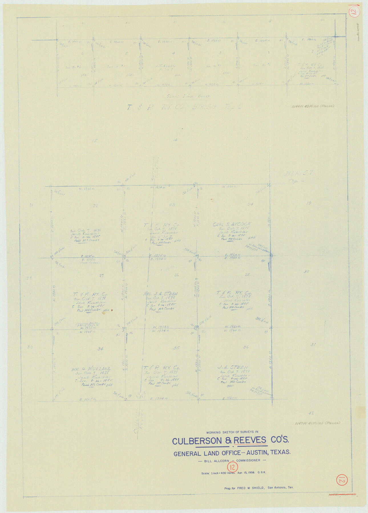
Reeves County Working Sketch 12
-
Map/Doc
63455
-
Collection
General Map Collection
-
Object Dates
4/15/1958 (Creation Date)
-
People and Organizations
Otto G. Kurio (Draftsman)
-
Counties
Reeves Culberson
-
Subjects
Surveying Working Sketch
-
Height x Width
34.2 x 24.5 inches
86.9 x 62.2 cm
-
Scale
1" = 400 varas
Part of: General Map Collection
Montgomery County Boundary File 3

Print $6.00
- Digital $50.00
Montgomery County Boundary File 3
Size 17.0 x 9.9 inches
Map/Doc 57450
Orange County Sketch File 9a

Print $4.00
- Digital $50.00
Orange County Sketch File 9a
1873
Size 8.1 x 7.5 inches
Map/Doc 33313
Archer County

Print $20.00
- Digital $50.00
Archer County
1926
Size 43.7 x 37.9 inches
Map/Doc 95419
Current Miscellaneous File 4

Print $8.00
- Digital $50.00
Current Miscellaneous File 4
1947
Size 11.5 x 9.1 inches
Map/Doc 73723

Jasper County Sketch File 8 and 9

Print $80.00
- Digital $50.00
Jasper County Sketch File 8 and 9
Size 8.2 x 6.9 inches
Map/Doc 27777
Flight Mission No. DAG-16K, Frame 73, Matagorda County

Print $20.00
- Digital $50.00
Flight Mission No. DAG-16K, Frame 73, Matagorda County
1952
Size 16.5 x 16.3 inches
Map/Doc 86319
[Surveys along and below the Red River and the Lamar and Fannin County line, Lamar District]
![76049, [Surveys along and below the Red River and the Lamar and Fannin County line, Lamar District], General Map Collection](https://historictexasmaps.com/wmedia_w700/maps/76049.tif.jpg)
Print $3.00
- Digital $50.00
[Surveys along and below the Red River and the Lamar and Fannin County line, Lamar District]
Size 12.1 x 10.1 inches
Map/Doc 76049
Blanco County Sketch File 20

Print $4.00
- Digital $50.00
Blanco County Sketch File 20
1879
Size 8.7 x 6.9 inches
Map/Doc 14598

Chambers County NRC Article 33.136 Location Key Sheet

Print $20.00
- Digital $50.00
Chambers County NRC Article 33.136 Location Key Sheet
1982
Size 27.0 x 22.3 inches
Map/Doc 82999
Webb County Working Sketch 53

Print $20.00
- Digital $50.00
Webb County Working Sketch 53
1952
Size 27.5 x 29.0 inches
Map/Doc 72419
You may also like
Flight Mission No. BQY-14M, Frame 183, Harris County

Print $20.00
- Digital $50.00
Flight Mission No. BQY-14M, Frame 183, Harris County
1953
Size 18.5 x 22.4 inches
Map/Doc 85299
United States - Gulf Coast Texas - Southern part of Laguna Madre

Print $20.00
- Digital $50.00
United States - Gulf Coast Texas - Southern part of Laguna Madre
1941
Size 26.8 x 18.3 inches
Map/Doc 72940
Palo Pinto County Rolled Sketch 11

Print $20.00
- Digital $50.00
Palo Pinto County Rolled Sketch 11
1976
Size 20.5 x 19.9 inches
Map/Doc 7191
Fort Bend County Sketch File 36

Print $6.00
- Digital $50.00
Fort Bend County Sketch File 36
1997
Size 11.4 x 8.9 inches
Map/Doc 23007
Coryell County Working Sketch 28

Print $20.00
- Digital $50.00
Coryell County Working Sketch 28
1990
Size 27.5 x 21.3 inches
Map/Doc 68235
Calhoun County Rolled Sketch 11

Print $20.00
- Digital $50.00
Calhoun County Rolled Sketch 11
1942
Size 12.8 x 41.9 inches
Map/Doc 5368
Travis County Sketch File 32A

Print $6.00
- Digital $50.00
Travis County Sketch File 32A
1893
Size 12.5 x 10.9 inches
Map/Doc 38347
Clay County Sketch File 18

Print $4.00
- Digital $50.00
Clay County Sketch File 18
1875
Size 12.6 x 8.4 inches
Map/Doc 18427
Map of the Texas & Pacific Ry. Reserve West of the Pecos River

Print $40.00
- Digital $50.00
Map of the Texas & Pacific Ry. Reserve West of the Pecos River
1879
Size 55.4 x 118.1 inches
Map/Doc 96439
Victoria County Working Sketch 10

Print $20.00
- Digital $50.00
Victoria County Working Sketch 10
1964
Size 36.9 x 45.4 inches
Map/Doc 72280
Trinity River, Oliver Crossing Sheet/Chambers Creek

Print $6.00
- Digital $50.00
Trinity River, Oliver Crossing Sheet/Chambers Creek
1931
Size 30.1 x 28.2 inches
Map/Doc 65231
Map of Eastland County, the portion on the waters of Colorado River Travis the balance- Milam- Land District

Print $20.00
- Digital $50.00
Map of Eastland County, the portion on the waters of Colorado River Travis the balance- Milam- Land District
1875
Size 24.6 x 22.2 inches
Map/Doc 3500