Brewster County Rolled Sketch 114
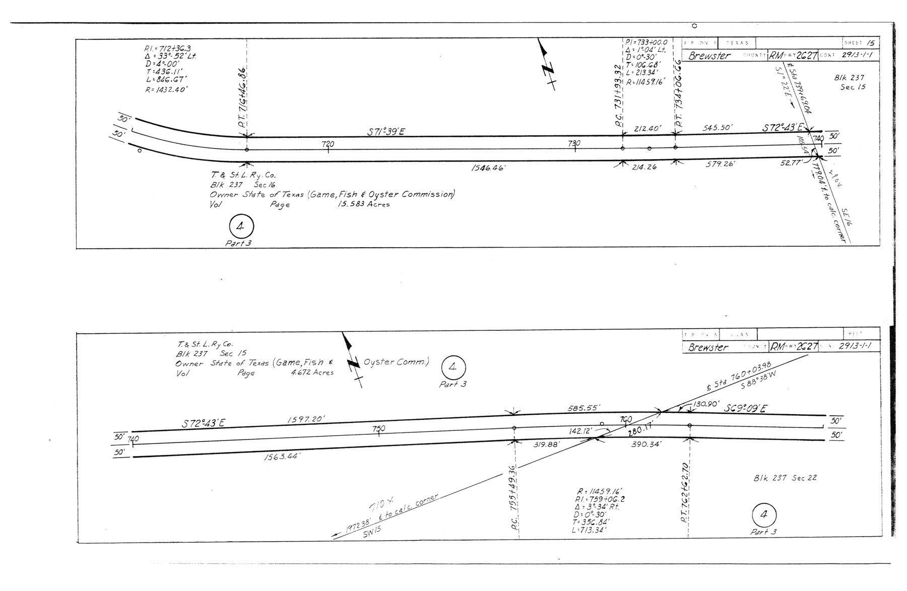
Plans of proposed State Highway Right of Way, RM Highway 2627, Brewster County, Control 2913-1-1 from: US 383, 38 mi. S of Marathon, SE to: Heath Crossing on Rio Grande (Sheet 15)
-
Map/Doc
5278
-
Collection
General Map Collection
-
Object Dates
1965/3/29 (File Date)
1964/12/3 (Creation Date)
-
People and Organizations
State Highway Department (Publisher)
-
Counties
Brewster
-
Subjects
Surveying Rolled Sketch
-
Height x Width
12.0 x 18.4 inches
30.5 x 46.7 cm
-
Medium
blueprint/diazo
-
Comments
This is one sheet of a set of 29 maps. For the complete set, see map numbers 5264-5292.
Related maps
Brewster County Rolled Sketch 114

Print $20.00
- Digital $50.00
Brewster County Rolled Sketch 114
1964
Size 11.8 x 18.5 inches
Map/Doc 5264
Brewster County Rolled Sketch 114

Print $20.00
- Digital $50.00
Brewster County Rolled Sketch 114
1964
Size 11.7 x 18.4 inches
Map/Doc 5265
Brewster County Rolled Sketch 114

Print $20.00
- Digital $50.00
Brewster County Rolled Sketch 114
1964
Size 11.7 x 18.6 inches
Map/Doc 5266
Brewster County Rolled Sketch 114

Print $20.00
- Digital $50.00
Brewster County Rolled Sketch 114
1964
Size 11.7 x 18.4 inches
Map/Doc 5267
Brewster County Rolled Sketch 114

Print $20.00
- Digital $50.00
Brewster County Rolled Sketch 114
1964
Size 23.8 x 18.9 inches
Map/Doc 5268
Brewster County Rolled Sketch 114

Print $20.00
- Digital $50.00
Brewster County Rolled Sketch 114
1964
Size 11.0 x 18.3 inches
Map/Doc 5269
Brewster County Rolled Sketch 114

Print $20.00
- Digital $50.00
Brewster County Rolled Sketch 114
1964
Size 11.1 x 18.4 inches
Map/Doc 5270
Brewster County Rolled Sketch 114

Print $20.00
- Digital $50.00
Brewster County Rolled Sketch 114
1964
Size 11.5 x 18.5 inches
Map/Doc 5271
Brewster County Rolled Sketch 114

Print $20.00
- Digital $50.00
Brewster County Rolled Sketch 114
1964
Size 11.6 x 18.3 inches
Map/Doc 5272
Brewster County Rolled Sketch 114

Print $20.00
- Digital $50.00
Brewster County Rolled Sketch 114
1964
Size 11.6 x 17.3 inches
Map/Doc 5273
Brewster County Rolled Sketch 114

Print $20.00
- Digital $50.00
Brewster County Rolled Sketch 114
1964
Size 11.5 x 17.6 inches
Map/Doc 5274
Brewster County Rolled Sketch 114

Print $20.00
- Digital $50.00
Brewster County Rolled Sketch 114
1964
Size 11.6 x 18.5 inches
Map/Doc 5275
Brewster County Rolled Sketch 114

Print $20.00
- Digital $50.00
Brewster County Rolled Sketch 114
1964
Size 11.7 x 18.3 inches
Map/Doc 5276
Brewster County Rolled Sketch 114

Print $20.00
- Digital $50.00
Brewster County Rolled Sketch 114
1964
Size 11.4 x 18.4 inches
Map/Doc 5277
Brewster County Rolled Sketch 114

Print $20.00
- Digital $50.00
Brewster County Rolled Sketch 114
1964
Size 11.9 x 18.4 inches
Map/Doc 5279
Brewster County Rolled Sketch 114

Print $20.00
- Digital $50.00
Brewster County Rolled Sketch 114
1964
Size 11.9 x 18.3 inches
Map/Doc 5280
Brewster County Rolled Sketch 114

Print $20.00
- Digital $50.00
Brewster County Rolled Sketch 114
1964
Size 11.7 x 17.7 inches
Map/Doc 5281
Brewster County Rolled Sketch 114

Print $20.00
- Digital $50.00
Brewster County Rolled Sketch 114
1964
Size 11.4 x 18.2 inches
Map/Doc 5282
Brewster County Rolled Sketch 114

Print $20.00
- Digital $50.00
Brewster County Rolled Sketch 114
1964
Size 12.2 x 17.5 inches
Map/Doc 5283
Brewster County Rolled Sketch 114

Print $20.00
- Digital $50.00
Brewster County Rolled Sketch 114
1964
Size 11.4 x 17.7 inches
Map/Doc 5284
Part of: General Map Collection
Map of Panola County Texas

Print $20.00
- Digital $50.00
Map of Panola County Texas
1850
Size 25.6 x 35.9 inches
Map/Doc 78317
Hemphill County Boundary File 1

Print $18.00
- Digital $50.00
Hemphill County Boundary File 1
Size 9.0 x 3.9 inches
Map/Doc 54612
Dallas County Rolled Sketch 2

Print $40.00
- Digital $50.00
Dallas County Rolled Sketch 2
1950
Size 36.9 x 51.0 inches
Map/Doc 8766
Flight Mission No. DCL-7C, Frame 61, Kenedy County

Print $20.00
- Digital $50.00
Flight Mission No. DCL-7C, Frame 61, Kenedy County
1943
Size 15.4 x 15.2 inches
Map/Doc 86049
Crosby County Rolled Sketch 1

Print $20.00
- Digital $50.00
Crosby County Rolled Sketch 1
1950
Size 25.3 x 21.1 inches
Map/Doc 5640
Pecos County Working Sketch 61

Print $20.00
- Digital $50.00
Pecos County Working Sketch 61
1952
Size 28.4 x 22.7 inches
Map/Doc 71533
Irion County Rolled Sketch 21

Print $40.00
- Digital $50.00
Irion County Rolled Sketch 21
Size 52.8 x 44.0 inches
Map/Doc 9256
No. 2 Chart of Corpus Christi Pass, Texas

Print $20.00
- Digital $50.00
No. 2 Chart of Corpus Christi Pass, Texas
1878
Size 18.3 x 27.4 inches
Map/Doc 73020
Pecos County Working Sketch 75

Print $20.00
- Digital $50.00
Pecos County Working Sketch 75
1958
Size 43.2 x 40.6 inches
Map/Doc 71547
Jackson County Working Sketch 10

Print $20.00
- Digital $50.00
Jackson County Working Sketch 10
1991
Size 35.9 x 36.1 inches
Map/Doc 66458
Edwards County Working Sketch 41

Print $20.00
- Digital $50.00
Edwards County Working Sketch 41
1949
Size 29.5 x 30.7 inches
Map/Doc 68917

You may also like
John H. Stephens Block S2, State Capitol Leagues

Print $20.00
- Digital $50.00
John H. Stephens Block S2, State Capitol Leagues
Size 28.6 x 23.2 inches
Map/Doc 92995

[H. T. & B. RR. Company, Block 10]
![91397, [H. T. & B. RR. Company, Block 10], Twichell Survey Records](https://historictexasmaps.com/wmedia_w700/maps/91397-1.tif.jpg)
Print $20.00
- Digital $50.00
[H. T. & B. RR. Company, Block 10]
Size 18.3 x 4.0 inches
Map/Doc 91397
Approaches to Galveston Bay

Print $40.00
- Digital $50.00
Approaches to Galveston Bay
1982
Size 53.1 x 36.7 inches
Map/Doc 69884
The Chief Justice County of Mina. April 24, 1837

Print $20.00
The Chief Justice County of Mina. April 24, 1837
2020
Size 15.8 x 21.7 inches
Map/Doc 96061
Flight Mission No. DQO-8K, Frame 39, Galveston County

Print $20.00
- Digital $50.00
Flight Mission No. DQO-8K, Frame 39, Galveston County
1952
Size 18.7 x 22.4 inches
Map/Doc 85146
The Mexican Municipality of Harrisburg. Defined, January 4, 1836

Print $20.00
The Mexican Municipality of Harrisburg. Defined, January 4, 1836
2020
Size 18.4 x 21.7 inches
Map/Doc 96022
Wichita County Working Sketch 12a

Print $20.00
- Digital $50.00
Wichita County Working Sketch 12a
1920
Size 20.2 x 14.1 inches
Map/Doc 72521
[Maps of surveys in Reeves & Culberson Cos]
![61130, [Maps of surveys in Reeves & Culberson Cos], General Map Collection](https://historictexasmaps.com/wmedia_w700/maps/61130.tif.jpg)
Print $20.00
- Digital $50.00
[Maps of surveys in Reeves & Culberson Cos]
1937
Size 30.7 x 24.9 inches
Map/Doc 61130
Hutchinson County Sketch File 5

Print $60.00
- Digital $50.00
Hutchinson County Sketch File 5
Size 15.1 x 62.7 inches
Map/Doc 10498
Battlefields of the Civil War

Battlefields of the Civil War
1961
Size 25.8 x 19.7 inches
Map/Doc 92374
Brewster County Working Sketch 10

Print $20.00
- Digital $50.00
Brewster County Working Sketch 10
1910
Size 17.8 x 16.8 inches
Map/Doc 67543