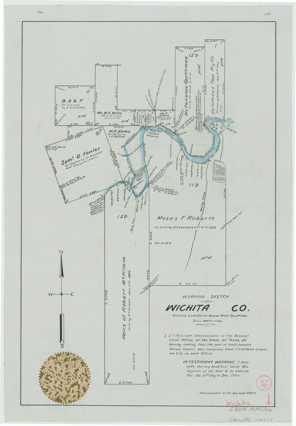
Wichita County Working Sketch 12a
-
Map/Doc
72521
-
Collection
General Map Collection
-
Object Dates
12/2/1920 (Creation Date)
-
Counties
Wichita
-
Subjects
Surveying Working Sketch
-
Height x Width
20.2 x 14.1 inches
51.3 x 35.8 cm
-
Scale
1" = 1000 varas
Part of: General Map Collection

United States - Gulf Coast Texas - Northern part of Laguna Madre

Print $20.00
- Digital $50.00
United States - Gulf Coast Texas - Northern part of Laguna Madre
1941
Size 26.9 x 18.3 inches
Map/Doc 72938
Marion County Working Sketch 31

Print $20.00
- Digital $50.00
Marion County Working Sketch 31
1981
Size 35.4 x 40.0 inches
Map/Doc 70807
Travis County State Real Property Sketch 12

Print $40.00
- Digital $50.00
Travis County State Real Property Sketch 12
2005
Size 24.0 x 35.6 inches
Map/Doc 88617
Nacogdoches County Sketch File 20

Print $26.00
- Digital $50.00
Nacogdoches County Sketch File 20
Size 12.6 x 7.9 inches
Map/Doc 32275
Reeves County Rolled Sketch 23

Print $20.00
- Digital $50.00
Reeves County Rolled Sketch 23
1982
Size 19.6 x 25.5 inches
Map/Doc 7491
Supreme Court of the United States, October Term, 1923, No. 15, Original - The State of Oklahoma, Complainant vs. The State of Texas, Defendant, The United States, Intervener; Report of the Boundary Commissioners

Print $20.00
- Digital $50.00
Supreme Court of the United States, October Term, 1923, No. 15, Original - The State of Oklahoma, Complainant vs. The State of Texas, Defendant, The United States, Intervener; Report of the Boundary Commissioners
1923
Size 35.1 x 41.1 inches
Map/Doc 82996
Terrell County Working Sketch 2

Print $20.00
- Digital $50.00
Terrell County Working Sketch 2
1908
Size 19.8 x 24.2 inches
Map/Doc 62150

Current Miscellaneous File 46

Print $4.00
- Digital $50.00
Current Miscellaneous File 46
1954
Size 10.7 x 8.2 inches
Map/Doc 73990
Motley County Sketch File 2 (N)

Print $22.00
- Digital $50.00
Motley County Sketch File 2 (N)
Size 8.3 x 14.8 inches
Map/Doc 31996
Flight Mission No. BRE-3P, Frame 36, Nueces County

Print $20.00
- Digital $50.00
Flight Mission No. BRE-3P, Frame 36, Nueces County
1956
Size 18.5 x 22.3 inches
Map/Doc 86814
You may also like
Galveston Harbor and Channel, Texas - Rehabilitation of Beachfront Groins - Present Construction

Print $4.00
- Digital $50.00
Galveston Harbor and Channel, Texas - Rehabilitation of Beachfront Groins - Present Construction
1967
Size 15.6 x 21.0 inches
Map/Doc 73619
Denton County Sketch File 14

Print $10.00
- Digital $50.00
Denton County Sketch File 14
1855
Size 8.6 x 10.0 inches
Map/Doc 20719
Harris County Rolled Sketch 88

Print $20.00
- Digital $50.00
Harris County Rolled Sketch 88
1936
Size 35.0 x 22.8 inches
Map/Doc 6125
Sterling County Sketch File 11

Print $40.00
- Digital $50.00
Sterling County Sketch File 11
1929
Size 14.2 x 17.2 inches
Map/Doc 37148
Hays County Sketch File 27

Print $6.00
- Digital $50.00
Hays County Sketch File 27
Size 11.2 x 8.8 inches
Map/Doc 26252
Flight Mission No. BRA-7M, Frame 13, Jefferson County

Print $20.00
- Digital $50.00
Flight Mission No. BRA-7M, Frame 13, Jefferson County
1953
Size 18.6 x 22.4 inches
Map/Doc 85464
Flight Mission No. CUG-3P, Frame 161, Kleberg County

Print $20.00
- Digital $50.00
Flight Mission No. CUG-3P, Frame 161, Kleberg County
1956
Size 18.6 x 22.5 inches
Map/Doc 86281
Cooke County Sketch File 6

Print $8.00
- Digital $50.00
Cooke County Sketch File 6
1857
Size 11.0 x 8.4 inches
Map/Doc 19228
Anderson County Rolled Sketch 14

Print $20.00
- Digital $50.00
Anderson County Rolled Sketch 14
1997
Size 30.1 x 36.5 inches
Map/Doc 77159
Liberty County Sketch File 6a

Print $2.00
- Digital $50.00
Liberty County Sketch File 6a
1859
Size 7.5 x 8.4 inches
Map/Doc 29896
Calhoun County Rolled Sketch 30

Print $20.00
- Digital $50.00
Calhoun County Rolled Sketch 30
1974
Size 18.6 x 27.6 inches
Map/Doc 5491
Northeast Part Pecos County

Print $20.00
- Digital $50.00
Northeast Part Pecos County
1975
Size 35.8 x 42.3 inches
Map/Doc 73260