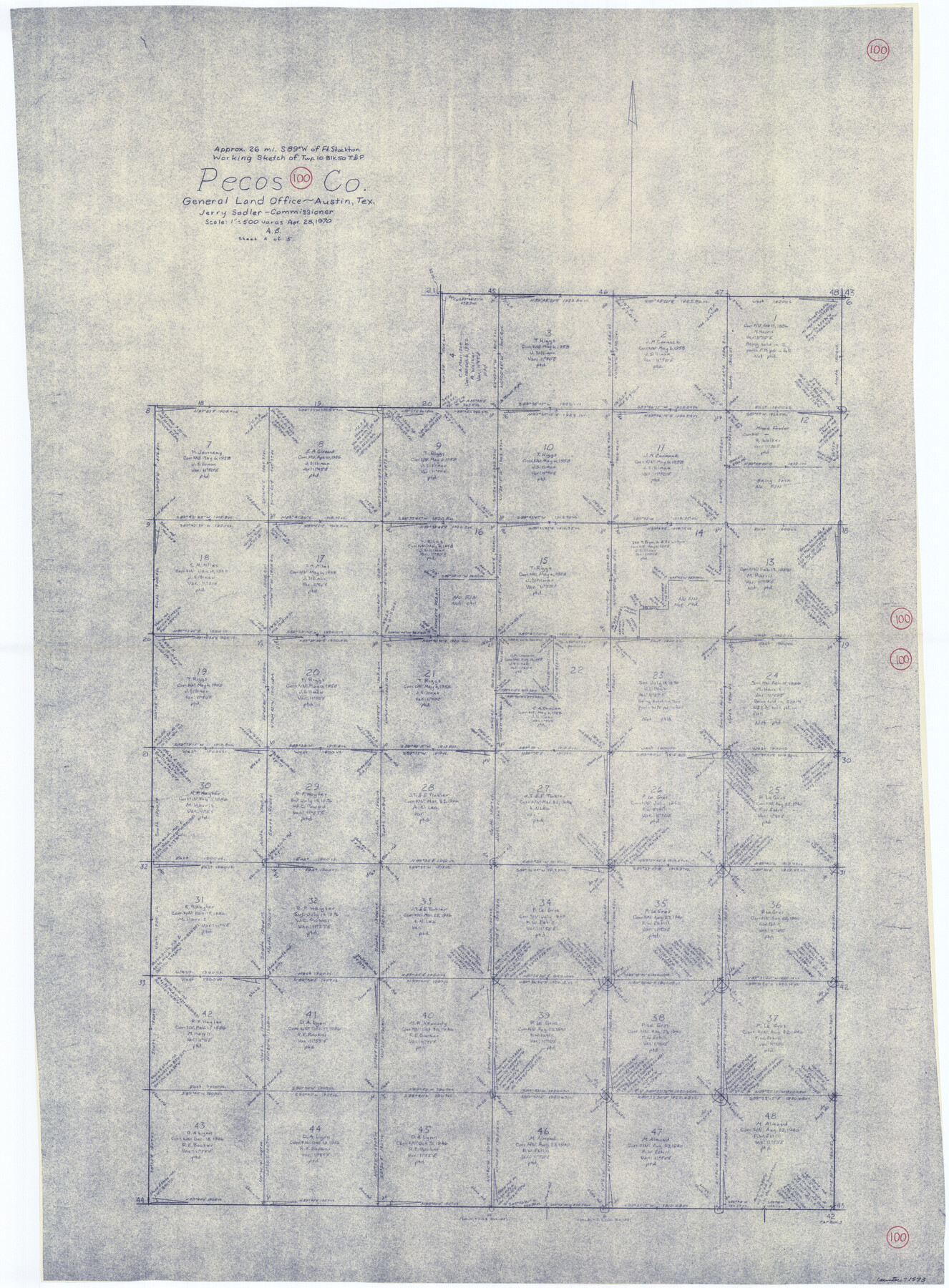
Pecos County Working Sketch 100
-
Map/Doc
71573
-
Collection
General Map Collection
-
Object Dates
4/28/1970 (Creation Date)
-
Counties
Pecos
-
Subjects
Surveying Working Sketch
-
Height x Width
42.9 x 31.6 inches
109.0 x 80.3 cm
-
Scale
1" = 500 varas
Part of: General Map Collection


Titus County Working Sketch 2

Print $20.00
- Digital $50.00
Titus County Working Sketch 2
Size 23.6 x 25.3 inches
Map/Doc 69363
Galveston County

Print $20.00
- Digital $50.00
Galveston County
1860
Size 20.2 x 31.4 inches
Map/Doc 3575
Pecos County Working Sketch 48

Print $20.00
- Digital $50.00
Pecos County Working Sketch 48
1947
Size 35.0 x 27.7 inches
Map/Doc 71520
Harris County Sketch File 14

Print $20.00
- Digital $50.00
Harris County Sketch File 14
Size 17.4 x 18.4 inches
Map/Doc 11649
Flight Mission No. BQR-12K, Frame 51, Brazoria County

Print $20.00
- Digital $50.00
Flight Mission No. BQR-12K, Frame 51, Brazoria County
1952
Size 18.8 x 22.4 inches
Map/Doc 84066
Harris County NRC Article 33.136 Sketch 7

Print $20.00
- Digital $50.00
Harris County NRC Article 33.136 Sketch 7
2004
Size 24.3 x 18.5 inches
Map/Doc 82991
Trinity County Sketch File 36a

Print $40.00
- Digital $50.00
Trinity County Sketch File 36a
1921
Size 18.5 x 8.6 inches
Map/Doc 38589
Flight Mission No. DCL-7C, Frame 56, Kenedy County

Print $20.00
- Digital $50.00
Flight Mission No. DCL-7C, Frame 56, Kenedy County
1943
Size 15.4 x 15.2 inches
Map/Doc 86044
No. IX - Outline map of the vicinity of Corpus Christi

Print $20.00
- Digital $50.00
No. IX - Outline map of the vicinity of Corpus Christi
Size 24.8 x 18.3 inches
Map/Doc 72967
Flight Mission No. CRE-1R, Frame 195, Jackson County

Print $20.00
- Digital $50.00
Flight Mission No. CRE-1R, Frame 195, Jackson County
1956
Size 18.6 x 22.3 inches
Map/Doc 85349
You may also like
Martin County Rolled Sketch 4

Print $20.00
- Digital $50.00
Martin County Rolled Sketch 4
1908
Size 40.9 x 24.8 inches
Map/Doc 6665
Trinity County Boundary File 102a

Print $50.00
- Digital $50.00
Trinity County Boundary File 102a
Size 9.6 x 4.7 inches
Map/Doc 59487
Comal County Rolled Sketch 2

Print $20.00
- Digital $50.00
Comal County Rolled Sketch 2
Size 21.6 x 13.0 inches
Map/Doc 5536
Kenedy County Aerial Photograph Index Sheet 1

Print $20.00
- Digital $50.00
Kenedy County Aerial Photograph Index Sheet 1
1943
Size 23.3 x 19.5 inches
Map/Doc 83713
Tom Green County Sketch File 70

Print $6.00
- Digital $50.00
Tom Green County Sketch File 70
1945
Size 11.3 x 8.9 inches
Map/Doc 38241
Gillespie County Boundary File 6

Print $2.00
- Digital $50.00
Gillespie County Boundary File 6
Size 11.3 x 8.9 inches
Map/Doc 53770
Controlled Mosaic by Jack Amman Photogrammetric Engineers, Inc - Sheet 23

Print $20.00
- Digital $50.00
Controlled Mosaic by Jack Amman Photogrammetric Engineers, Inc - Sheet 23
1954
Size 20.0 x 24.0 inches
Map/Doc 83472
Amistad International Reservoir on Rio Grande 92

Print $20.00
- Digital $50.00
Amistad International Reservoir on Rio Grande 92
1950
Size 28.5 x 40.6 inches
Map/Doc 75522
Working Sketch in Potter & Moore Counties

Print $40.00
- Digital $50.00
Working Sketch in Potter & Moore Counties
1919
Size 54.1 x 43.5 inches
Map/Doc 89721
Flight Mission No. DIX-7P, Frame 85, Aransas County

Print $20.00
- Digital $50.00
Flight Mission No. DIX-7P, Frame 85, Aransas County
1956
Size 18.7 x 22.4 inches
Map/Doc 83879
Red River County Working Sketch 37

Print $20.00
- Digital $50.00
Red River County Working Sketch 37
1964
Size 31.1 x 34.8 inches
Map/Doc 72020
Montgomery County Rolled Sketch 12

Print $20.00
- Digital $50.00
Montgomery County Rolled Sketch 12
Size 23.4 x 30.5 inches
Map/Doc 6801