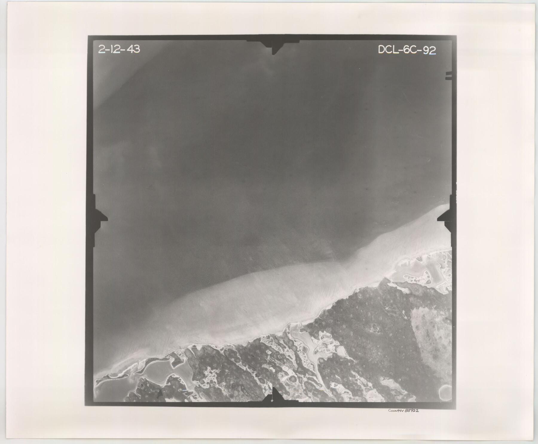
Flight Mission No. DCL-6C, Frame 92, Kenedy County
DCL-6C-92
-
Map/Doc
85922
-
Collection
General Map Collection
-
Object Dates
1943/2/12 (Creation Date)
-
People and Organizations
U. S. Department of Agriculture (Publisher)
-
Counties
Kenedy
-
Subjects
Aerial Photograph
-
Height x Width
18.4 x 22.3 inches
46.7 x 56.6 cm
-
Comments
Flown by Aerial Surveys of Pittsburgh, Inc. of Pittsburgh, Pennsylvania.
Part of: General Map Collection
Bastrop County Working Sketch 4

Print $20.00
- Digital $50.00
Bastrop County Working Sketch 4
1921
Size 16.1 x 18.3 inches
Map/Doc 67304
Orange County Working Sketch 4

Print $20.00
- Digital $50.00
Orange County Working Sketch 4
Size 18.8 x 12.3 inches
Map/Doc 71336
Flight Mission No. DQO-8K, Frame 49, Galveston County

Print $20.00
- Digital $50.00
Flight Mission No. DQO-8K, Frame 49, Galveston County
1952
Size 18.7 x 22.3 inches
Map/Doc 85156
List of surveys in Shelby County

List of surveys in Shelby County
1849
Size 13.2 x 8.2 inches
Map/Doc 62443
Kerr County Sketch File 4

Print $10.00
- Digital $50.00
Kerr County Sketch File 4
1873
Size 8.1 x 7.7 inches
Map/Doc 28860
Map of Padre Island Showing Location of Zoning Districts

Print $20.00
- Digital $50.00
Map of Padre Island Showing Location of Zoning Districts
1971
Size 18.8 x 26.7 inches
Map/Doc 4809
Montgomery County Working Sketch 8a

Print $20.00
- Digital $50.00
Montgomery County Working Sketch 8a
1932
Size 17.8 x 20.4 inches
Map/Doc 71114
Webb County State Real Property Sketch 1

Print $40.00
- Digital $50.00
Webb County State Real Property Sketch 1
1985
Size 23.4 x 17.7 inches
Map/Doc 61664
Pecos County Sketch File 115

Print $18.00
- Digital $50.00
Pecos County Sketch File 115
Size 7.5 x 8.8 inches
Map/Doc 34083
Houston County Sketch File 9

Print $4.00
- Digital $50.00
Houston County Sketch File 9
1857
Size 12.7 x 8.1 inches
Map/Doc 26771
Harris County Sketch File 21

Print $4.00
- Digital $50.00
Harris County Sketch File 21
1862
Size 13.1 x 8.2 inches
Map/Doc 25373
North Sulphur River, Bartley Gin Sheet

Print $20.00
- Digital $50.00
North Sulphur River, Bartley Gin Sheet
1928
Size 21.1 x 42.5 inches
Map/Doc 65173
You may also like
Burnet County Boundary File 7

Print $36.00
- Digital $50.00
Burnet County Boundary File 7
Size 14.0 x 8.5 inches
Map/Doc 50893
Pecos County Rolled Sketch 152

Print $20.00
- Digital $50.00
Pecos County Rolled Sketch 152
1960
Size 38.8 x 43.7 inches
Map/Doc 9736
Harris County Working Sketch 108

Print $20.00
- Digital $50.00
Harris County Working Sketch 108
1981
Size 20.6 x 20.5 inches
Map/Doc 66000
Tarrant County Working Sketch 17

Print $20.00
- Digital $50.00
Tarrant County Working Sketch 17
1983
Size 24.6 x 20.7 inches
Map/Doc 62434
Flight Mission No. BRA-7M, Frame 129, Jefferson County

Print $20.00
- Digital $50.00
Flight Mission No. BRA-7M, Frame 129, Jefferson County
1953
Size 16.3 x 16.0 inches
Map/Doc 85523
Wharton County Sketch File 15

Print $20.00
- Digital $50.00
Wharton County Sketch File 15
Size 18.2 x 21.1 inches
Map/Doc 12665
Wheeler County Sketch File 3

Print $24.00
- Digital $50.00
Wheeler County Sketch File 3
1881
Size 12.9 x 8.4 inches
Map/Doc 39998
Flight Mission No. BRE-2P, Frame 64, Nueces County

Print $20.00
- Digital $50.00
Flight Mission No. BRE-2P, Frame 64, Nueces County
1956
Size 18.5 x 22.6 inches
Map/Doc 86759
Lee County Sketch File 8

Print $6.00
- Digital $50.00
Lee County Sketch File 8
1838
Size 12.8 x 8.3 inches
Map/Doc 29706
Liberty County Rolled Sketch 13

Print $20.00
- Digital $50.00
Liberty County Rolled Sketch 13
1983
Size 27.0 x 37.8 inches
Map/Doc 6619
Right of Way and Track Map, the Missouri, Kansas and Texas Ry. of Texas operated by the Missouri, Kansas and Texas Ry. of Texas, San Antonio Division

Print $40.00
- Digital $50.00
Right of Way and Track Map, the Missouri, Kansas and Texas Ry. of Texas operated by the Missouri, Kansas and Texas Ry. of Texas, San Antonio Division
1918
Size 25.2 x 58.8 inches
Map/Doc 64584
Travis County Appraisal District Plat Map 2_0801

Print $20.00
- Digital $50.00
Travis County Appraisal District Plat Map 2_0801
Size 21.4 x 26.4 inches
Map/Doc 94237