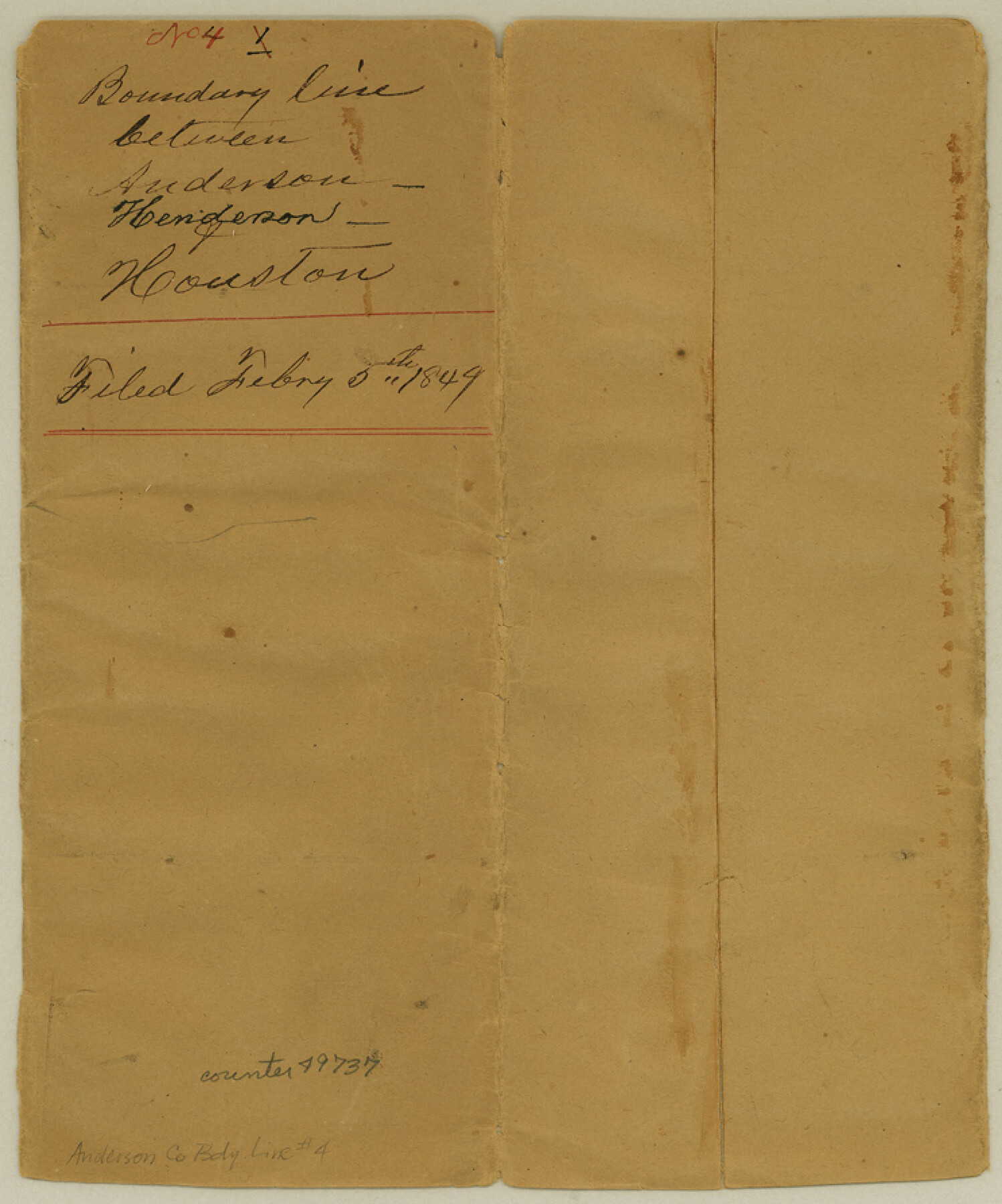
Anderson County Boundary File 4
Boundary line between Anderson-Henderson-Houston, fieldnotes of north boundary
-
Map/Doc
49737
-
Collection
General Map Collection
-
Counties
Anderson
-
Subjects
County Boundaries
-
Height x Width
8.9 x 7.4 inches
22.6 x 18.8 cm
Part of: General Map Collection
Delta County Sketch File 6

Print $20.00
- Digital $50.00
Delta County Sketch File 6
Size 18.3 x 22.4 inches
Map/Doc 11310
Cherokee County Sketch File 5

Print $12.00
- Digital $50.00
Cherokee County Sketch File 5
1852
Size 12.4 x 8.6 inches
Map/Doc 18120
Freestone County

Print $40.00
- Digital $50.00
Freestone County
1918
Size 48.9 x 42.0 inches
Map/Doc 1831
San Patricio County Rolled Sketch 51

Print $40.00
- Digital $50.00
San Patricio County Rolled Sketch 51
1988
Size 41.8 x 54.6 inches
Map/Doc 10635
Hansford County Boundary File 3

Print $10.00
- Digital $50.00
Hansford County Boundary File 3
Size 13.6 x 8.7 inches
Map/Doc 54270
Shelby County Sketch File 21

Print $2.00
- Digital $50.00
Shelby County Sketch File 21
Size 8.9 x 4.0 inches
Map/Doc 36642
Llano County Working Sketch 10

Print $20.00
- Digital $50.00
Llano County Working Sketch 10
1980
Size 21.2 x 15.1 inches
Map/Doc 70628
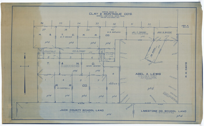
Montague County Working Sketch 41
Print $40.00
- Digital $50.00
Montague County Working Sketch 41
1923
Size 43.3 x 70.1 inches
Map/Doc 65350
Karnes County Working Sketch 10

Print $6.00
- Digital $50.00
Karnes County Working Sketch 10
1970
Size 35.5 x 26.3 inches
Map/Doc 66658
Angelina County Working Sketch 22a

Print $20.00
- Digital $50.00
Angelina County Working Sketch 22a
1953
Size 22.3 x 20.1 inches
Map/Doc 67103
Current Miscellaneous File 4

Print $8.00
- Digital $50.00
Current Miscellaneous File 4
1947
Size 11.5 x 9.1 inches
Map/Doc 73723
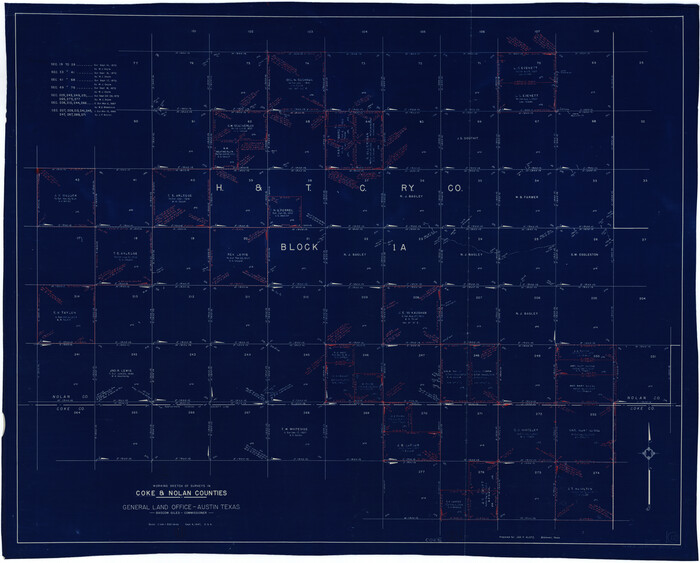
Coke County Working Sketch 12
Print $20.00
- Digital $50.00
Coke County Working Sketch 12
1947
Size 36.7 x 45.6 inches
Map/Doc 68049
You may also like
Coast Chart No. 212 - From Latitude 26° 33' to the Rio Grande Texas

Print $20.00
- Digital $50.00
Coast Chart No. 212 - From Latitude 26° 33' to the Rio Grande Texas
1886
Size 18.3 x 24.1 inches
Map/Doc 72835
Jones County Working Sketch 4

Print $20.00
- Digital $50.00
Jones County Working Sketch 4
1946
Size 35.5 x 20.6 inches
Map/Doc 66642
Mustang Island

Print $20.00
- Digital $50.00
Mustang Island
1908
Size 34.8 x 26.2 inches
Map/Doc 78670
Flight Mission No. BRE-1P, Frame 105, Nueces County

Print $20.00
- Digital $50.00
Flight Mission No. BRE-1P, Frame 105, Nueces County
1956
Size 18.4 x 22.2 inches
Map/Doc 86676
Flight Mission No. BQR-20K, Frame 12, Brazoria County

Print $20.00
- Digital $50.00
Flight Mission No. BQR-20K, Frame 12, Brazoria County
1952
Size 18.6 x 22.4 inches
Map/Doc 84114
[Drawings of individual counties for Pressler and Langermann's 1879 Map of Texas]
![[Drawings of individual counties for Pressler and Langermann's 1879 Map of Texas]](https://historictexasmaps.com/wmedia_w700/maps/4863.tif.jpg)
Print $20.00
- Digital $50.00
[Drawings of individual counties for Pressler and Langermann's 1879 Map of Texas]
1878
Size 38.8 x 26.8 inches
Map/Doc 4863
Mason County Working Sketch 12

Print $20.00
- Digital $50.00
Mason County Working Sketch 12
1951
Size 28.1 x 23.6 inches
Map/Doc 70848
Calhoun County Rolled Sketch 32

Print $40.00
- Digital $50.00
Calhoun County Rolled Sketch 32
1978
Size 87.1 x 44.6 inches
Map/Doc 8560
Crockett County Rolled Sketch 88H

Print $40.00
- Digital $50.00
Crockett County Rolled Sketch 88H
1973
Size 42.6 x 57.3 inches
Map/Doc 8733
Index sheet to accompany map of survey for connecting the inland waters along margin of the Gulf of Mexico from Donaldsonville in Louisiana to the Rio Grande River in Texas

Print $20.00
- Digital $50.00
Index sheet to accompany map of survey for connecting the inland waters along margin of the Gulf of Mexico from Donaldsonville in Louisiana to the Rio Grande River in Texas
Size 18.2 x 27.4 inches
Map/Doc 72690
Hays Co., 1855

Print $20.00
- Digital $50.00
Hays Co., 1855
1853
Size 20.5 x 28.6 inches
Map/Doc 3650
Lofland Subdivision, 2nd Installment, North Part of NW Quarter Section 72, Block A

Print $20.00
- Digital $50.00
Lofland Subdivision, 2nd Installment, North Part of NW Quarter Section 72, Block A
Size 34.7 x 19.0 inches
Map/Doc 92763