Aransas County Rolled Sketch 27A
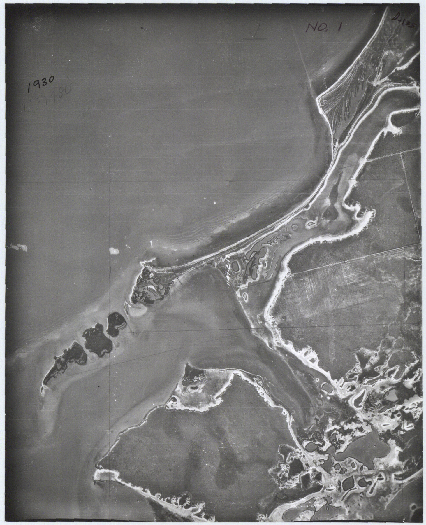
[1930 Aerial photograph of part of A-14 and A-93, northwest of Rockport]
-
Map/Doc
5058
-
Collection
General Map Collection
-
Object Dates
1930 (Creation Date)
-
Counties
Aransas
-
Subjects
Aerial Photograph Surveying Rolled Sketch
-
Height x Width
8.9 x 7.2 inches
22.6 x 18.3 cm
-
Medium
photograph
-
Comments
See Aransas County Rolled Sketches 27 (5059), 27B (5057), 27C (5056), 27D (8418), 27E (8419), and 27G (8421) for related sketch and other aerial photographs.
Related maps
Aransas County Rolled Sketch 27C

Print $20.00
- Digital $50.00
Aransas County Rolled Sketch 27C
1979
Size 17.3 x 19.3 inches
Map/Doc 5056
Aransas County Rolled Sketch 27B

Print $2.00
- Digital $50.00
Aransas County Rolled Sketch 27B
1958
Size 9.1 x 9.1 inches
Map/Doc 5057
Aransas County Rolled Sketch 27

Print $20.00
- Digital $50.00
Aransas County Rolled Sketch 27
1983
Size 24.9 x 35.4 inches
Map/Doc 5059
Aransas County Rolled Sketch 27D

Print $20.00
- Digital $50.00
Aransas County Rolled Sketch 27D
1930
Size 40.5 x 40.2 inches
Map/Doc 8418
Aransas County Rolled Sketch 27E

Print $20.00
- Digital $50.00
Aransas County Rolled Sketch 27E
1958
Size 30.2 x 30.9 inches
Map/Doc 8419
Aransas County Rolled Sketch 27G

Print $20.00
- Digital $50.00
Aransas County Rolled Sketch 27G
1983
Size 32.8 x 33.0 inches
Map/Doc 8421
Part of: General Map Collection
Map of Jack County

Print $20.00
- Digital $50.00
Map of Jack County
1896
Size 22.7 x 27.4 inches
Map/Doc 4571
Jefferson County Working Sketch 22

Print $20.00
- Digital $50.00
Jefferson County Working Sketch 22
1969
Size 22.2 x 38.0 inches
Map/Doc 66565
New Map of that portion of North America, exhibiting the United States and Territories, the Canadas, New Brunswick, Nova Scotia and Mexico, also Central America and the West India Islands compiled from the most recent surveys and authentic sources

Print $40.00
- Digital $50.00
New Map of that portion of North America, exhibiting the United States and Territories, the Canadas, New Brunswick, Nova Scotia and Mexico, also Central America and the West India Islands compiled from the most recent surveys and authentic sources
1854
Size 59.4 x 63.0 inches
Map/Doc 93968
Flight Mission No. CRC-4R, Frame 101, Chambers County

Print $20.00
- Digital $50.00
Flight Mission No. CRC-4R, Frame 101, Chambers County
1956
Size 18.6 x 22.4 inches
Map/Doc 84898
Milam County Sketch File 5

Print $4.00
- Digital $50.00
Milam County Sketch File 5
1901
Size 14.2 x 8.7 inches
Map/Doc 31632
Maps of Gulf Intracoastal Waterway, Texas - Sabine River to the Rio Grande and connecting waterways including ship channels

Print $20.00
- Digital $50.00
Maps of Gulf Intracoastal Waterway, Texas - Sabine River to the Rio Grande and connecting waterways including ship channels
1966
Size 14.5 x 22.2 inches
Map/Doc 61941
Flight Mission No. BRE-1P, Frame 117, Nueces County

Print $20.00
- Digital $50.00
Flight Mission No. BRE-1P, Frame 117, Nueces County
1956
Size 18.4 x 22.3 inches
Map/Doc 86683

Wise County Boundary File 96

Print $50.00
- Digital $50.00
Wise County Boundary File 96
Size 9.2 x 3.8 inches
Map/Doc 60130
Bexar County Working Sketch 24

Print $20.00
- Digital $50.00
Bexar County Working Sketch 24
1989
Size 40.8 x 27.5 inches
Map/Doc 67340
Robertson County Working Sketch 11

Print $20.00
- Digital $50.00
Robertson County Working Sketch 11
1984
Size 20.2 x 21.4 inches
Map/Doc 63584
Coke County Working Sketch 9

Print $20.00
- Digital $50.00
Coke County Working Sketch 9
1927
Size 23.9 x 30.3 inches
Map/Doc 68046
You may also like
Flight Mission No. CLL-1N, Frame 9, Willacy County

Print $20.00
- Digital $50.00
Flight Mission No. CLL-1N, Frame 9, Willacy County
1954
Size 18.4 x 22.1 inches
Map/Doc 86996
[Gunter & Munson, Maddox Bros. & Anderson Block O]
![91946, [Gunter & Munson, Maddox Bros. & Anderson Block O], Twichell Survey Records](https://historictexasmaps.com/wmedia_w700/maps/91946-1.tif.jpg)
Print $20.00
- Digital $50.00
[Gunter & Munson, Maddox Bros. & Anderson Block O]
Size 25.8 x 40.6 inches
Map/Doc 91946
Map of Angelina County

Print $40.00
- Digital $50.00
Map of Angelina County
1899
Size 40.1 x 53.6 inches
Map/Doc 4868
General Highway Map, Scurry County, Texas

Print $20.00
General Highway Map, Scurry County, Texas
1961
Size 18.1 x 24.8 inches
Map/Doc 79650
Terrell County Working Sketch 43

Print $20.00
- Digital $50.00
Terrell County Working Sketch 43
1957
Size 45.0 x 38.4 inches
Map/Doc 62136
Uvalde County Working Sketch 7

Print $20.00
- Digital $50.00
Uvalde County Working Sketch 7
1942
Size 29.2 x 30.0 inches
Map/Doc 72077
Ector County Working Sketch 24

Print $40.00
- Digital $50.00
Ector County Working Sketch 24
1961
Size 42.2 x 51.7 inches
Map/Doc 68867
Upshur County Working Sketch 16

Print $20.00
- Digital $50.00
Upshur County Working Sketch 16
1997
Size 43.7 x 36.0 inches
Map/Doc 78229
[Coleman County Sections 359, 360, and 361]
![92553, [Coleman County Sections 359, 360, and 361], Twichell Survey Records](https://historictexasmaps.com/wmedia_w700/maps/92553-1.tif.jpg)
Print $20.00
- Digital $50.00
[Coleman County Sections 359, 360, and 361]
Size 17.6 x 22.5 inches
Map/Doc 92553
Matagorda County NRC Article 33.136 Sketch 16

Digital $50.00
Matagorda County NRC Article 33.136 Sketch 16
2023
Map/Doc 97256
Harbor Pass and Bar at Brazos Santiago, Texas

Print $20.00
- Digital $50.00
Harbor Pass and Bar at Brazos Santiago, Texas
1879
Size 18.1 x 27.4 inches
Map/Doc 73002
Jack County Sketch File 5

Print $6.00
- Digital $50.00
Jack County Sketch File 5
1875
Size 11.0 x 10.8 inches
Map/Doc 27508