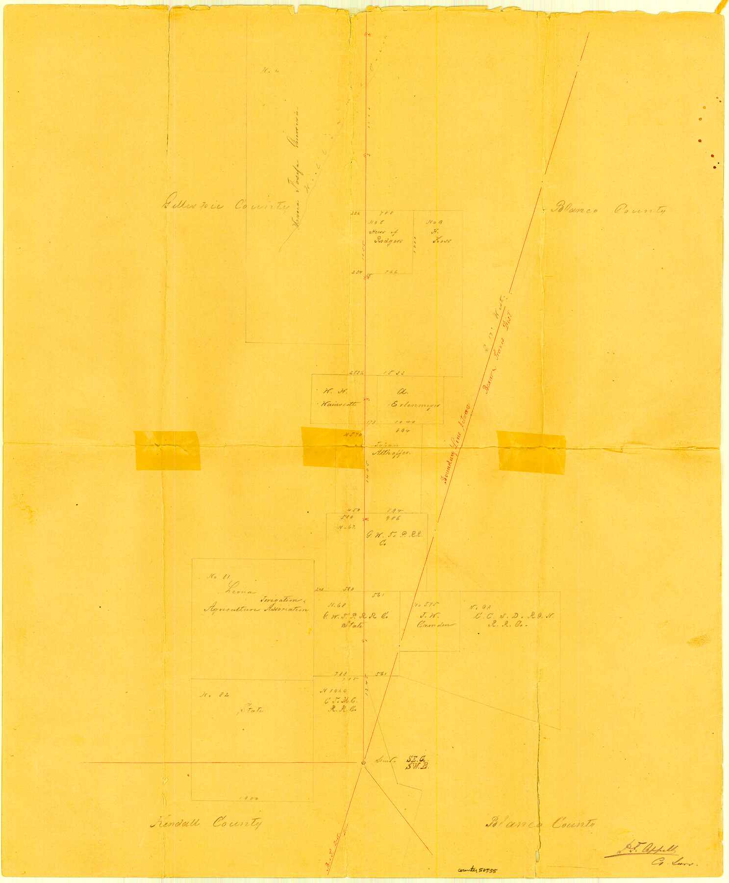
Blanco County Boundary File 5
Sketches showing County b'd'y. line between the Counties of Blanco & Gillespie
-
Map/Doc
50555
-
Collection
General Map Collection
-
Counties
Blanco
-
Subjects
County Boundaries
-
Height x Width
17.1 x 14.1 inches
43.4 x 35.8 cm
Part of: General Map Collection
Blanco County Boundary File 5

Print $100.00
- Digital $50.00
Blanco County Boundary File 5
Size 17.1 x 14.1 inches
Map/Doc 50555
San Patricio County Sketch File 29

Print $10.00
San Patricio County Sketch File 29
1936
Size 11.3 x 8.8 inches
Map/Doc 36111
[Sketch for Mineral Application 33721 - 33725 Incl. - Padre and Mustang Island]
![2874, [Sketch for Mineral Application 33721 - 33725 Incl. - Padre and Mustang Island], General Map Collection](https://historictexasmaps.com/wmedia_w700/maps/2874.tif.jpg)
Print $20.00
- Digital $50.00
[Sketch for Mineral Application 33721 - 33725 Incl. - Padre and Mustang Island]
1941
Size 40.2 x 22.8 inches
Map/Doc 2874
Aransas County Working Sketch 3

Print $20.00
- Digital $50.00
Aransas County Working Sketch 3
1928
Size 20.6 x 32.9 inches
Map/Doc 67170
Neches River, Watershed of the Neches River

Print $6.00
- Digital $50.00
Neches River, Watershed of the Neches River
1925
Size 34.6 x 28.3 inches
Map/Doc 65085
Dawson County Working Sketch 4

Print $20.00
- Digital $50.00
Dawson County Working Sketch 4
1926
Size 32.2 x 23.8 inches
Map/Doc 68549
Matagorda County NRC Article 33.136 Sketch 13

Print $22.00
- Digital $50.00
Matagorda County NRC Article 33.136 Sketch 13
Size 24.2 x 36.0 inches
Map/Doc 95720
Map of Great Britain and Ireland engraved to illustrate Mitchell's school and family geography

Print $20.00
- Digital $50.00
Map of Great Britain and Ireland engraved to illustrate Mitchell's school and family geography
1840
Size 11.8 x 9.5 inches
Map/Doc 93503

San Patricio County Sketch File 55

Print $14.00
- Digital $50.00
San Patricio County Sketch File 55
1999
Size 11.3 x 8.8 inches
Map/Doc 36394
Eastham State Farm - Houston, Walker Counties and Ferguson State Farm, Madison County

Print $20.00
- Digital $50.00
Eastham State Farm - Houston, Walker Counties and Ferguson State Farm, Madison County
Size 27.7 x 40.3 inches
Map/Doc 62975
The Land of Open Sky - Southwest U.S.A.

The Land of Open Sky - Southwest U.S.A.
Size 20.2 x 15.6 inches
Map/Doc 95945
You may also like
University and College Lands

Print $20.00
- Digital $50.00
University and College Lands
1841
Size 21.3 x 27.0 inches
Map/Doc 169
Pecos County Working Sketch 93

Print $40.00
- Digital $50.00
Pecos County Working Sketch 93
1966
Size 32.1 x 71.5 inches
Map/Doc 71566
Map of Texas with population and location of principal towns and cities, according to latest reliable statistics

Print $20.00
- Digital $50.00
Map of Texas with population and location of principal towns and cities, according to latest reliable statistics
1906
Size 18.9 x 22.4 inches
Map/Doc 95869
Coke County Working Sketch 5

Print $20.00
- Digital $50.00
Coke County Working Sketch 5
1913
Size 24.1 x 27.9 inches
Map/Doc 68042
DeWitt County Sketch File 3

Print $20.00
- Digital $50.00
DeWitt County Sketch File 3
1871
Size 23.2 x 33.1 inches
Map/Doc 11312
Crane County Working Sketch 15

Print $20.00
- Digital $50.00
Crane County Working Sketch 15
1946
Size 33.6 x 38.0 inches
Map/Doc 68292
Brewster County Rolled Sketch 146A

Print $40.00
- Digital $50.00
Brewster County Rolled Sketch 146A
Size 62.4 x 45.1 inches
Map/Doc 8527

Harris County NRC Article 33.136 Sketch 11

Print $28.00
- Digital $50.00
Harris County NRC Article 33.136 Sketch 11
2007
Size 24.0 x 36.0 inches
Map/Doc 94658
La Salle County Sketch File 41

Print $20.00
- Digital $50.00
La Salle County Sketch File 41
1918
Size 25.8 x 15.9 inches
Map/Doc 11986
Maps & Lists Showing Prison Lands (Oil & Gas) Leased as of June 1955

Digital $50.00
Maps & Lists Showing Prison Lands (Oil & Gas) Leased as of June 1955
Size 11.2 x 8.8 inches
Map/Doc 62874
University Land Field Notes for Blocks 34 through 37 in Terrell County

University Land Field Notes for Blocks 34 through 37 in Terrell County
Map/Doc 81720