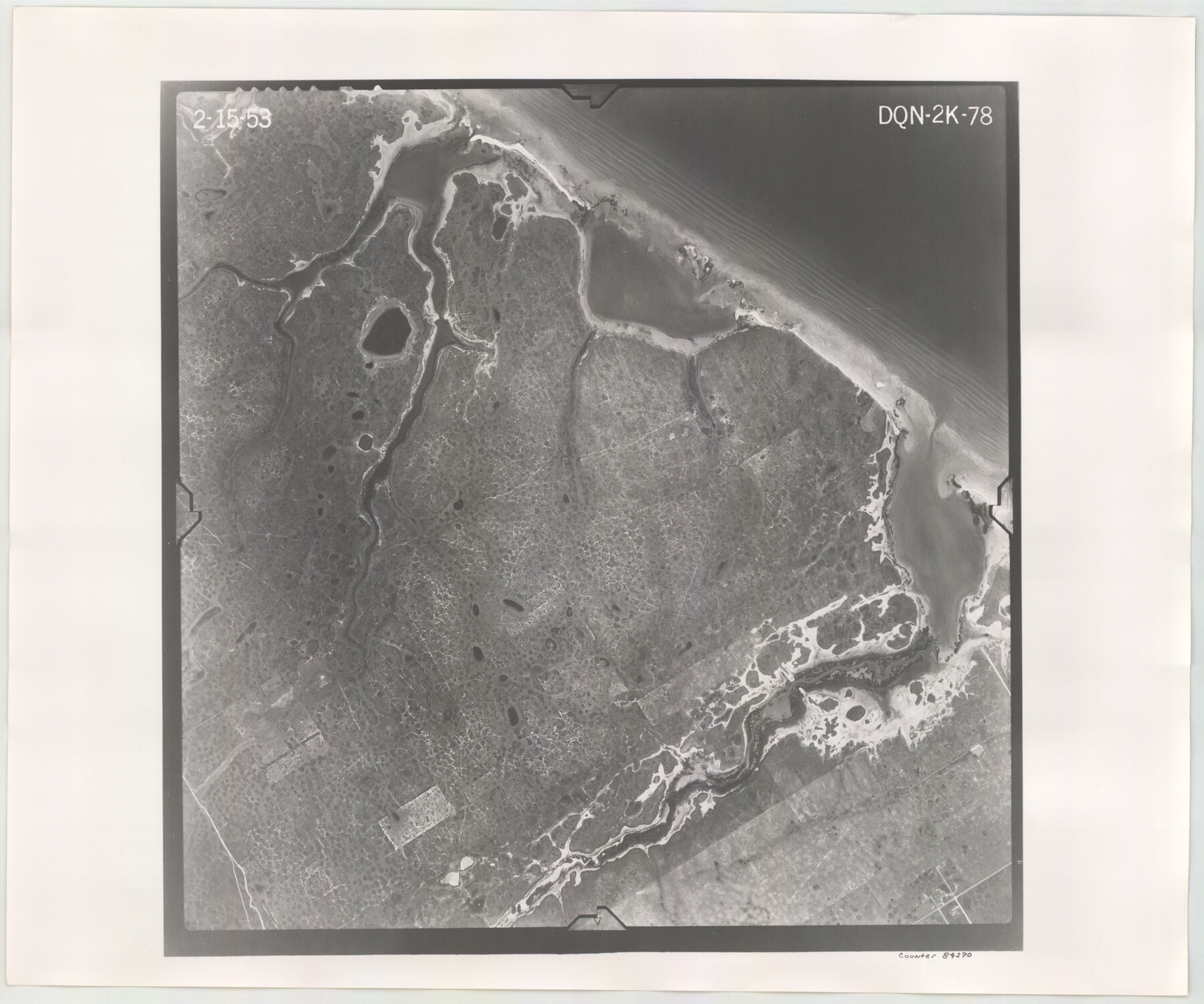
Flight Mission No. DQN-2K, Frame 78, Calhoun County
DQN-2K-78
-
Map/Doc
84270
-
Collection
General Map Collection
-
Object Dates
1953/2/15 (Creation Date)
-
People and Organizations
U. S. Department of Agriculture (Publisher)
-
Counties
Calhoun
-
Subjects
Aerial Photograph
-
Height x Width
18.6 x 22.3 inches
47.2 x 56.6 cm
-
Comments
Flown by Aero Exploration Company of Tulsa, Oklahoma.
Part of: General Map Collection
Fisher County Working Sketch 8

Print $20.00
- Digital $50.00
Fisher County Working Sketch 8
1946
Size 42.5 x 37.3 inches
Map/Doc 69142
Location Through GC&SFRRCo., Runnels County, Texas

Print $20.00
- Digital $50.00
Location Through GC&SFRRCo., Runnels County, Texas
1898
Size 21.5 x 32.8 inches
Map/Doc 64509
Hill County Sketch File 20

Print $22.00
- Digital $50.00
Hill County Sketch File 20
1854
Size 8.3 x 7.7 inches
Map/Doc 26490
Packery Channel

Print $20.00
- Digital $50.00
Packery Channel
1958
Size 21.1 x 24.3 inches
Map/Doc 3007
Denton County Working Sketch 15

Print $20.00
- Digital $50.00
Denton County Working Sketch 15
1971
Size 21.7 x 30.0 inches
Map/Doc 68620
Aransas County Rolled Sketch 35

Print $40.00
- Digital $50.00
Aransas County Rolled Sketch 35
2006
Size 37.5 x 50.0 inches
Map/Doc 83555
Flight Mission No. DAG-24K, Frame 54, Matagorda County

Print $20.00
- Digital $50.00
Flight Mission No. DAG-24K, Frame 54, Matagorda County
1953
Size 17.2 x 19.1 inches
Map/Doc 86541
Wise County Sketch File 43

Print $4.00
- Digital $50.00
Wise County Sketch File 43
1876
Size 8.3 x 12.8 inches
Map/Doc 40603
Aransas County Sketch File 18

Print $8.00
- Digital $50.00
Aransas County Sketch File 18
1888
Size 12.7 x 8.2 inches
Map/Doc 13149
Map of Lipscomb County

Print $20.00
- Digital $50.00
Map of Lipscomb County
1899
Size 43.9 x 38.9 inches
Map/Doc 78406
Grimes County Rolled Sketch 1

Print $20.00
- Digital $50.00
Grimes County Rolled Sketch 1
1945
Size 34.6 x 35.0 inches
Map/Doc 9007
Fractional Township No. 9 South Range No. 24 East of the Indian Meridian, Indian Territory

Print $20.00
- Digital $50.00
Fractional Township No. 9 South Range No. 24 East of the Indian Meridian, Indian Territory
1898
Size 19.2 x 24.3 inches
Map/Doc 75241
You may also like
Lampasas County Working Sketch 5

Print $20.00
- Digital $50.00
Lampasas County Working Sketch 5
1947
Size 25.6 x 31.8 inches
Map/Doc 70282
Carte des Côtes du Golfe du Mexique compris entre la Pointe Sud de la Presqu'Ile de la Floride et la Pointe Nord de la Presqu'Ile d'Yucatan

Print $20.00
- Digital $50.00
Carte des Côtes du Golfe du Mexique compris entre la Pointe Sud de la Presqu'Ile de la Floride et la Pointe Nord de la Presqu'Ile d'Yucatan
1800
Size 26.0 x 37.5 inches
Map/Doc 95322
Cooke County Boundary File 3

Print $4.00
- Digital $50.00
Cooke County Boundary File 3
Size 7.3 x 8.7 inches
Map/Doc 51853
Hale County Rolled Sketch 10

Print $40.00
- Digital $50.00
Hale County Rolled Sketch 10
Size 52.8 x 56.6 inches
Map/Doc 9096
[The S.K. Ry. of Texas, State Line to Pecos, Reeves Co., Texas]
![64164, [The S.K. Ry. of Texas, State Line to Pecos, Reeves Co., Texas], General Map Collection](https://historictexasmaps.com/wmedia_w700/maps/64164-1.tif.jpg)
Print $40.00
- Digital $50.00
[The S.K. Ry. of Texas, State Line to Pecos, Reeves Co., Texas]
1910
Size 18.7 x 95.8 inches
Map/Doc 64164
Copy of Surveyor's Field Book, Morris Browning - In Blocks 7, 5 & 4, I&GNRRCo., Hutchinson and Carson Counties, Texas

Print $2.00
- Digital $50.00
Copy of Surveyor's Field Book, Morris Browning - In Blocks 7, 5 & 4, I&GNRRCo., Hutchinson and Carson Counties, Texas
1888
Size 7.0 x 8.8 inches
Map/Doc 62284
Right of Way & Track Map, San Antonio & Aransas Pass Railway Co.

Print $40.00
- Digital $50.00
Right of Way & Track Map, San Antonio & Aransas Pass Railway Co.
1919
Size 25.3 x 56.7 inches
Map/Doc 64216
Armstrong County Working Sketch 2

Print $20.00
- Digital $50.00
Armstrong County Working Sketch 2
1904
Size 29.0 x 23.4 inches
Map/Doc 67233
Van Zandt County Sketch File 28

Print $4.00
- Digital $50.00
Van Zandt County Sketch File 28
1859
Size 12.5 x 8.2 inches
Map/Doc 39451
Hudspeth County Working Sketch 21

Print $20.00
- Digital $50.00
Hudspeth County Working Sketch 21
1966
Size 22.8 x 41.6 inches
Map/Doc 66303
Blanco County Sketch File 33

Print $4.00
- Digital $50.00
Blanco County Sketch File 33
Size 7.9 x 7.0 inches
Map/Doc 14635
Somervell County

Print $20.00
- Digital $50.00
Somervell County
1941
Size 27.5 x 26.7 inches
Map/Doc 63042