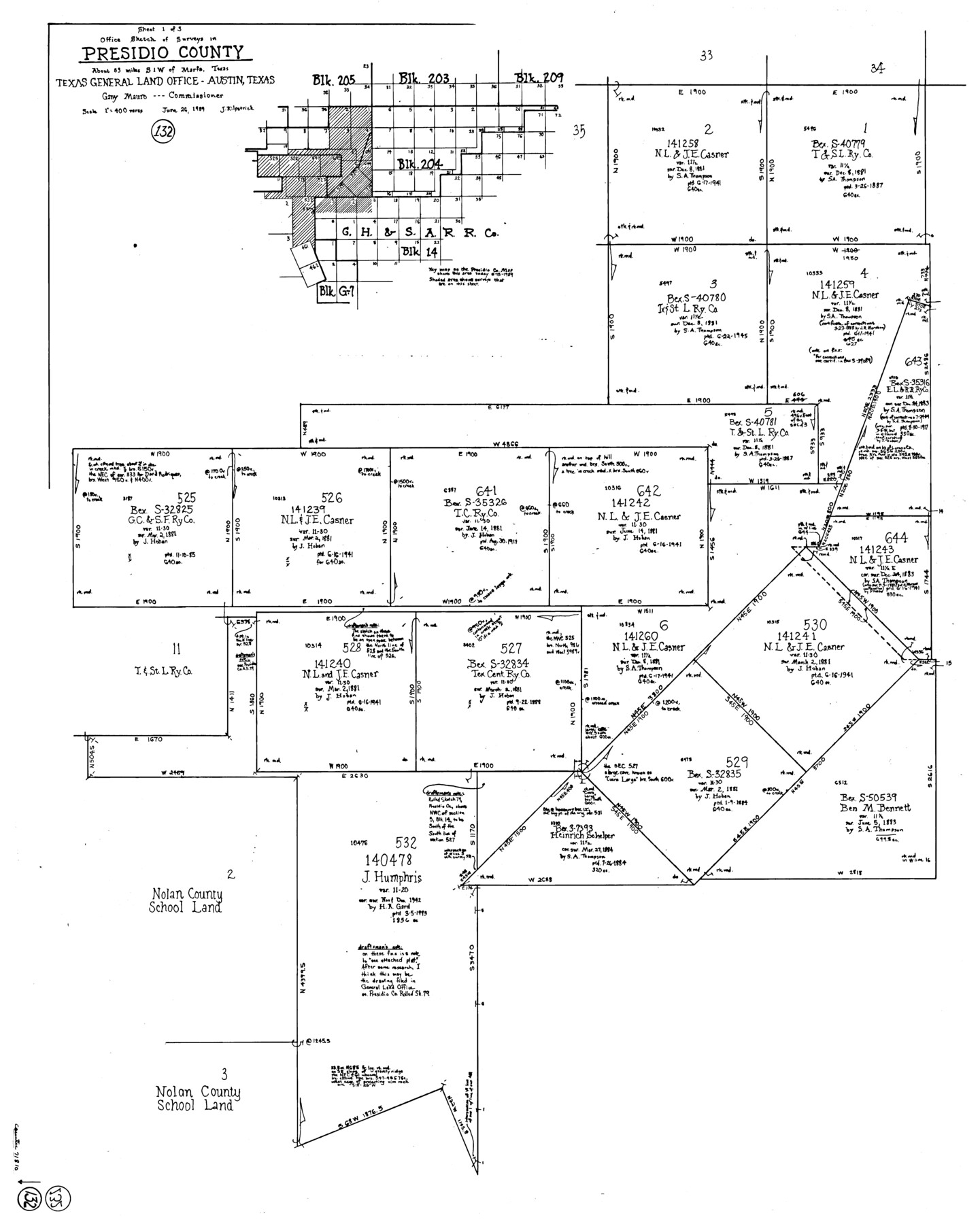
Presidio County Working Sketch 132
-
Map/Doc
71810
-
Collection
General Map Collection
-
Object Dates
6/26/1989 (Creation Date)
-
People and Organizations
Joan Kilpatrick (Draftsman)
-
Counties
Presidio
-
Subjects
Surveying Working Sketch
-
Height x Width
36.7 x 29.4 inches
93.2 x 74.7 cm
-
Scale
1" = 400 varas
Part of: General Map Collection
Matagorda Bay and Approaches

Print $20.00
- Digital $50.00
Matagorda Bay and Approaches
1957
Size 35.1 x 44.8 inches
Map/Doc 73381
Flight Mission No. CGI-3N, Frame 70, Cameron County

Print $20.00
- Digital $50.00
Flight Mission No. CGI-3N, Frame 70, Cameron County
1954
Size 18.7 x 22.3 inches
Map/Doc 84564
Wood County Working Sketch 7

Print $20.00
- Digital $50.00
Wood County Working Sketch 7
1942
Size 41.0 x 37.7 inches
Map/Doc 62007
Coast Chart No. 212 - From Latitude 26° 33' to the Rio Grande Texas

Print $20.00
- Digital $50.00
Coast Chart No. 212 - From Latitude 26° 33' to the Rio Grande Texas
1886
Size 18.3 x 24.3 inches
Map/Doc 72836
Bexar County Sketch File 58

Print $4.00
- Digital $50.00
Bexar County Sketch File 58
1847
Size 10.4 x 8.3 inches
Map/Doc 14572
Texas Hill Country Trail Region

Texas Hill Country Trail Region
2017
Size 18.2 x 24.3 inches
Map/Doc 96871
Gregg County Rolled Sketch 9

Print $20.00
- Digital $50.00
Gregg County Rolled Sketch 9
1933
Size 38.0 x 29.8 inches
Map/Doc 6034
Red River County

Print $20.00
- Digital $50.00
Red River County
1896
Size 24.3 x 21.5 inches
Map/Doc 3977
Tom Green County Rolled Sketch 3

Print $20.00
- Digital $50.00
Tom Green County Rolled Sketch 3
Size 26.8 x 32.8 inches
Map/Doc 7993
San Augustine County Sketch File 12

Print $4.00
San Augustine County Sketch File 12
Size 12.2 x 7.9 inches
Map/Doc 35656
Flight Mission No. CRK-3P, Frame 176, Refugio County

Print $20.00
- Digital $50.00
Flight Mission No. CRK-3P, Frame 176, Refugio County
1956
Size 18.3 x 22.2 inches
Map/Doc 86923
San Patricio County NRC Article 33.136 Sketch 6

Print $24.00
- Digital $50.00
San Patricio County NRC Article 33.136 Sketch 6
2010
Size 22.0 x 34.0 inches
Map/Doc 94472
You may also like
Yoakum County Working Sketch Graphic Index

Print $20.00
- Digital $50.00
Yoakum County Working Sketch Graphic Index
1932
Size 44.7 x 33.1 inches
Map/Doc 76747
[Sketch for Mineral Application 24072, San Jacinto River]
![65598, [Sketch for Mineral Application 24072, San Jacinto River], General Map Collection](https://historictexasmaps.com/wmedia_w700/maps/65598.tif.jpg)
Print $20.00
- Digital $50.00
[Sketch for Mineral Application 24072, San Jacinto River]
1929
Size 24.6 x 18.3 inches
Map/Doc 65598
Winkler County Rolled Sketch 9

Print $40.00
- Digital $50.00
Winkler County Rolled Sketch 9
1937
Size 50.7 x 21.1 inches
Map/Doc 10150
Hudspeth County Working Sketch 44

Print $20.00
- Digital $50.00
Hudspeth County Working Sketch 44
1982
Size 25.5 x 22.2 inches
Map/Doc 66329
Bandera County Working Sketch 35

Print $20.00
- Digital $50.00
Bandera County Working Sketch 35
1965
Size 20.8 x 21.6 inches
Map/Doc 67631
Tom Green County Sketch File 50

Print $20.00
- Digital $50.00
Tom Green County Sketch File 50
1884
Size 25.4 x 34.5 inches
Map/Doc 12442
Pecos County Sketch File 49c

Print $10.00
- Digital $50.00
Pecos County Sketch File 49c
Size 5.9 x 8.7 inches
Map/Doc 33768
[State Capitol Lands]
![91608, [State Capitol Lands], Twichell Survey Records](https://historictexasmaps.com/wmedia_w700/maps/91608-1.tif.jpg)
Print $20.00
- Digital $50.00
[State Capitol Lands]
1902
Size 28.2 x 32.8 inches
Map/Doc 91608
Rio Grande Rectification Project, El Paso and Juarez Valley

Print $3.00
- Digital $50.00
Rio Grande Rectification Project, El Paso and Juarez Valley
1935
Size 9.7 x 14.9 inches
Map/Doc 1749
Pecos County Working Sketch 118

Print $20.00
- Digital $50.00
Pecos County Working Sketch 118
1973
Size 46.2 x 36.9 inches
Map/Doc 71591
General Highway Map, Angelina County, Texas

Print $20.00
General Highway Map, Angelina County, Texas
1961
Size 25.1 x 18.1 inches
Map/Doc 79349
Right of Way and Track Map, the Missouri, Kansas and Texas Ry. of Texas - Henrietta Division

Print $20.00
- Digital $50.00
Right of Way and Track Map, the Missouri, Kansas and Texas Ry. of Texas - Henrietta Division
1918
Size 11.8 x 26.8 inches
Map/Doc 64752