Official Map of the City of Waxahachie, Texas
A-6-61
K-7-9E
-
Map/Doc
4841
-
Collection
General Map Collection
-
Object Dates
1922/9/12 (Creation Date)
-
People and Organizations
Texas Title and Loan Company (Publisher)
W.A. Spalding (Compiler)
W.A. Spalding (Surveyor/Engineer)
-
Counties
Ellis
-
Subjects
City
-
Height x Width
41.4 x 40.8 inches
105.2 x 103.6 cm
-
Comments
A revision of the Phillips and Hawkins Official Map of 1896.
Help Save Texas History - Adopt Me!
Part of: General Map Collection
Morris County Rolled Sketch 2A


Print $20.00
- Digital $50.00
Morris County Rolled Sketch 2A
Size 13.3 x 19.0 inches
Map/Doc 10232
McLennan County Sketch File 23


Print $4.00
- Digital $50.00
McLennan County Sketch File 23
Size 5.6 x 3.2 inches
Map/Doc 31297
Dimmit County Rolled Sketch 15
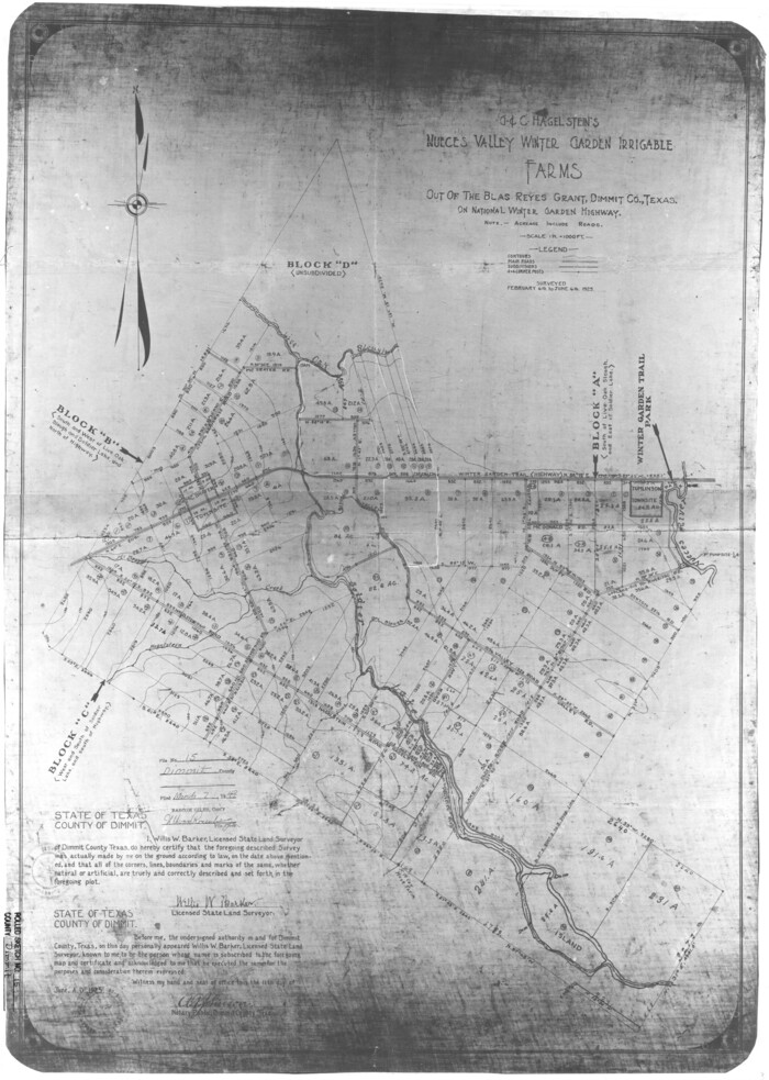

Print $20.00
- Digital $50.00
Dimmit County Rolled Sketch 15
1925
Size 32.8 x 23.4 inches
Map/Doc 5723
Hardin County Rolled Sketch 12


Print $20.00
- Digital $50.00
Hardin County Rolled Sketch 12
1949
Size 36.3 x 47.3 inches
Map/Doc 10200
Live Oak County Working Sketch 28
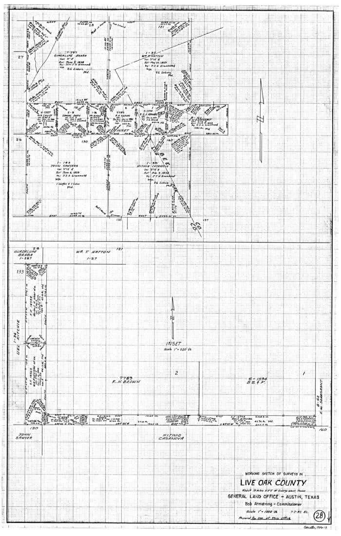

Print $20.00
- Digital $50.00
Live Oak County Working Sketch 28
1982
Size 33.3 x 21.1 inches
Map/Doc 70613
Kendall County Working Sketch 14


Print $20.00
- Digital $50.00
Kendall County Working Sketch 14
1967
Size 37.6 x 33.1 inches
Map/Doc 66686
Travis County Sketch File 32A
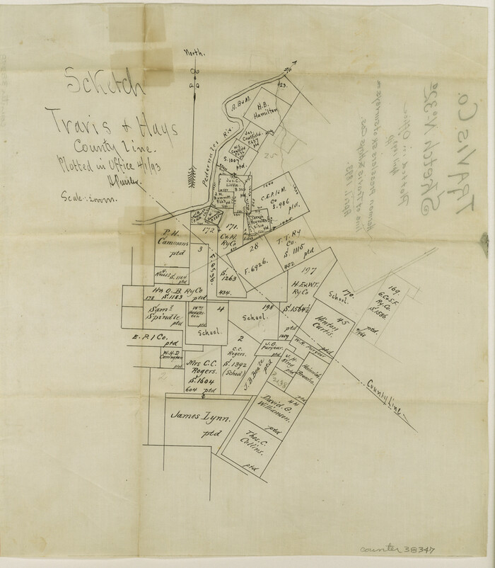

Print $6.00
- Digital $50.00
Travis County Sketch File 32A
1893
Size 12.5 x 10.9 inches
Map/Doc 38347
Polk County Working Sketch 32
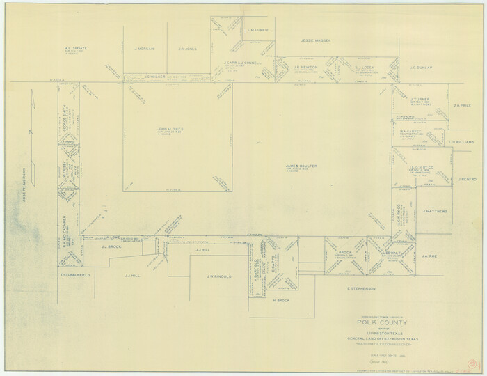

Print $20.00
- Digital $50.00
Polk County Working Sketch 32
1960
Size 28.8 x 37.3 inches
Map/Doc 71648
Current Miscellaneous File 35
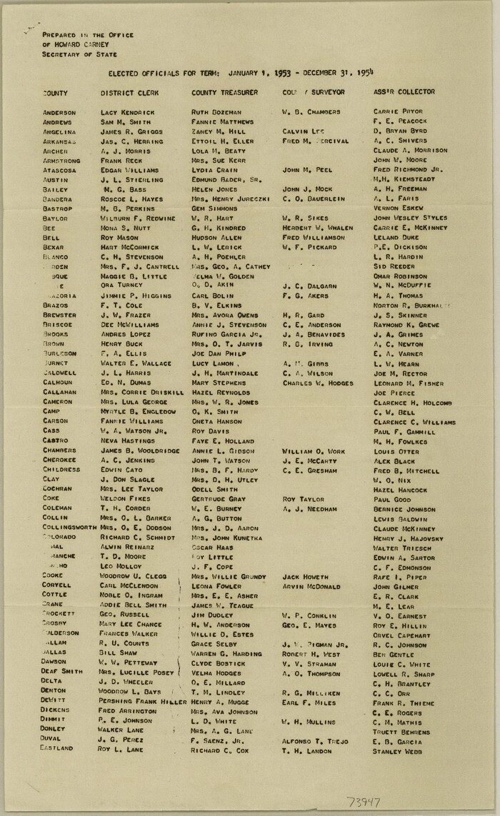

Print $10.00
- Digital $50.00
Current Miscellaneous File 35
Size 14.2 x 8.7 inches
Map/Doc 73947
Kimble County Working Sketch 32
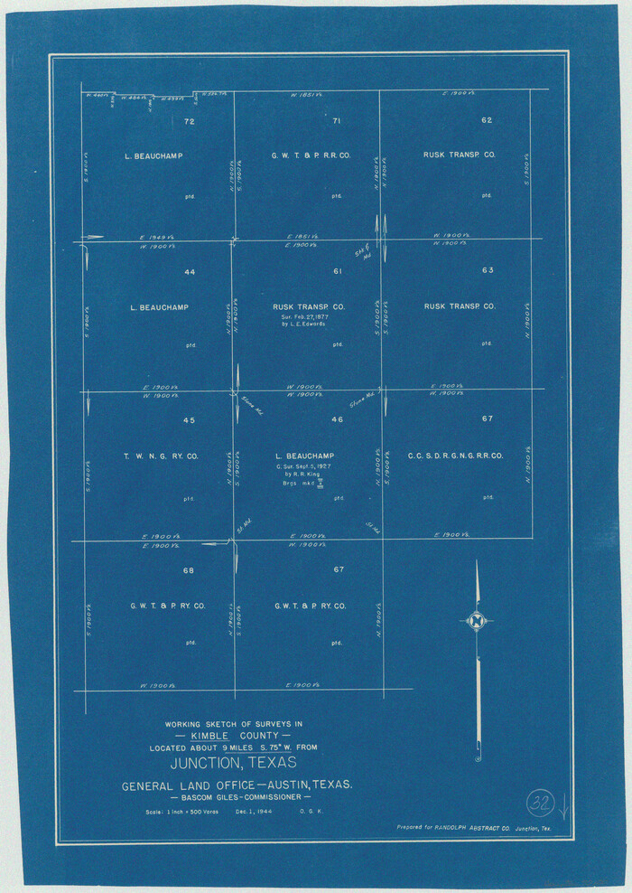

Print $20.00
- Digital $50.00
Kimble County Working Sketch 32
1944
Size 22.6 x 16.0 inches
Map/Doc 70100
Hamilton County Sketch File 15
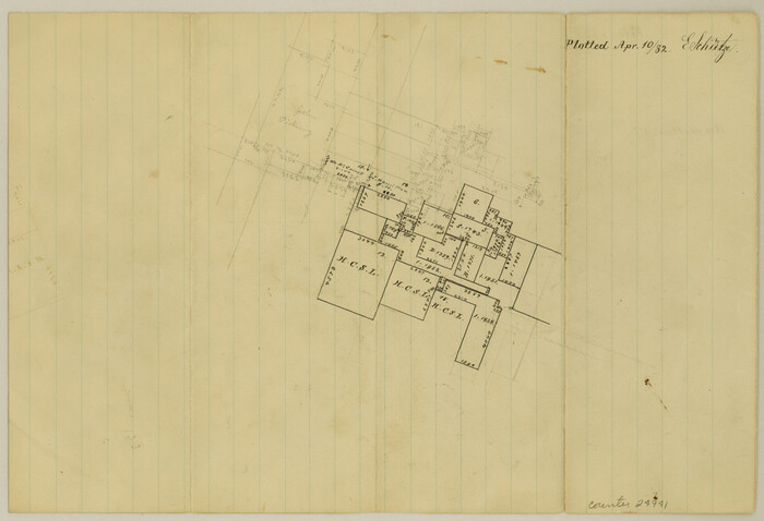

Print $2.00
- Digital $50.00
Hamilton County Sketch File 15
1882
Size 8.0 x 11.8 inches
Map/Doc 24941
You may also like
Nueces County Rolled Sketch 55
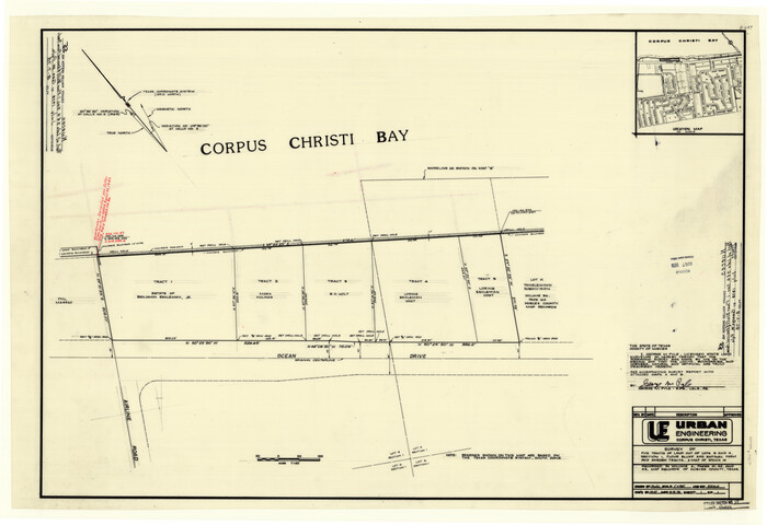

Print $20.00
- Digital $50.00
Nueces County Rolled Sketch 55
1978
Size 25.7 x 37.5 inches
Map/Doc 6892
Briscoe County Rolled Sketch 9
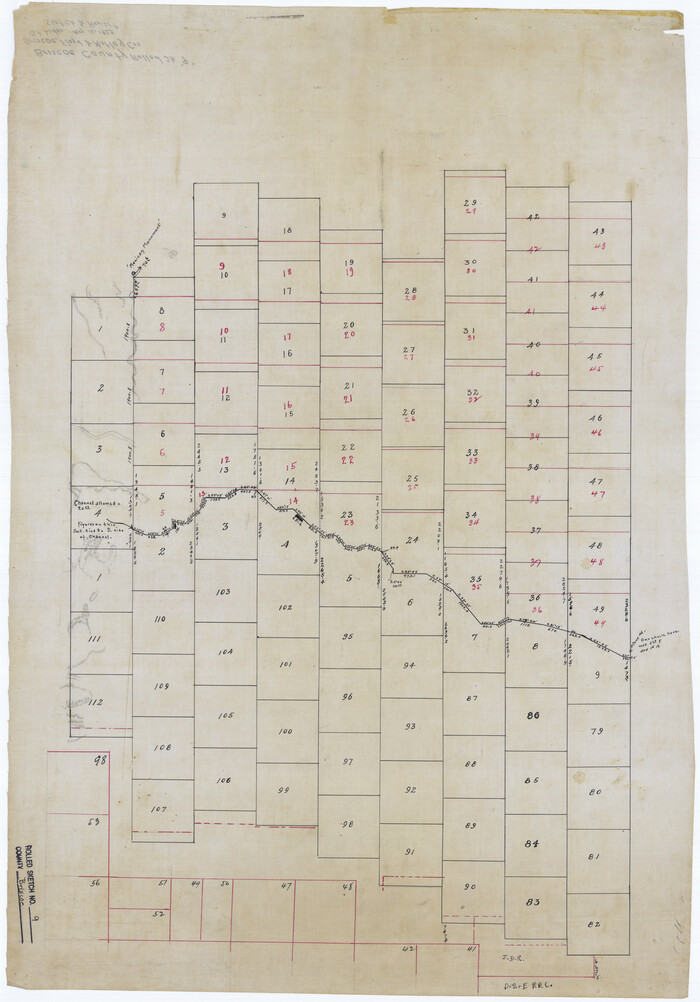

Print $20.00
- Digital $50.00
Briscoe County Rolled Sketch 9
Size 30.6 x 21.4 inches
Map/Doc 5327
Dawson County Rolled Sketch 14
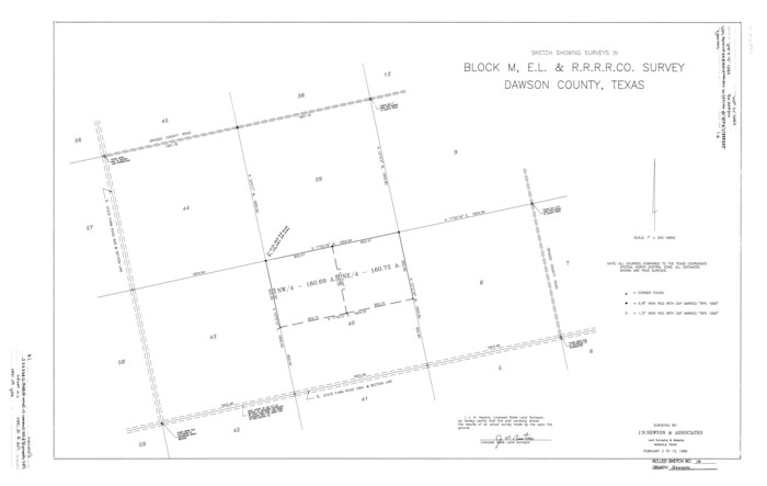

Print $20.00
- Digital $50.00
Dawson County Rolled Sketch 14
1989
Size 22.6 x 35.7 inches
Map/Doc 5697
Aransas County NRC Article 33.136 Sketch 10


Print $26.00
- Digital $50.00
Aransas County NRC Article 33.136 Sketch 10
Size 24.2 x 36.0 inches
Map/Doc 95016
Gonzales County Sketch File 4a
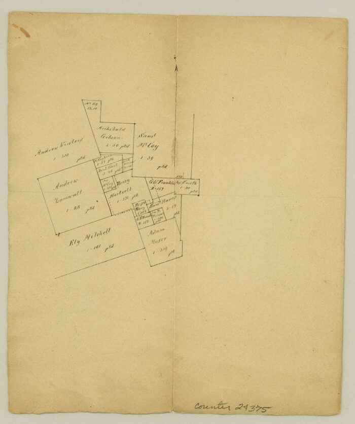

Print $4.00
- Digital $50.00
Gonzales County Sketch File 4a
1861
Size 8.0 x 6.7 inches
Map/Doc 24375
Denton County Working Sketch 8
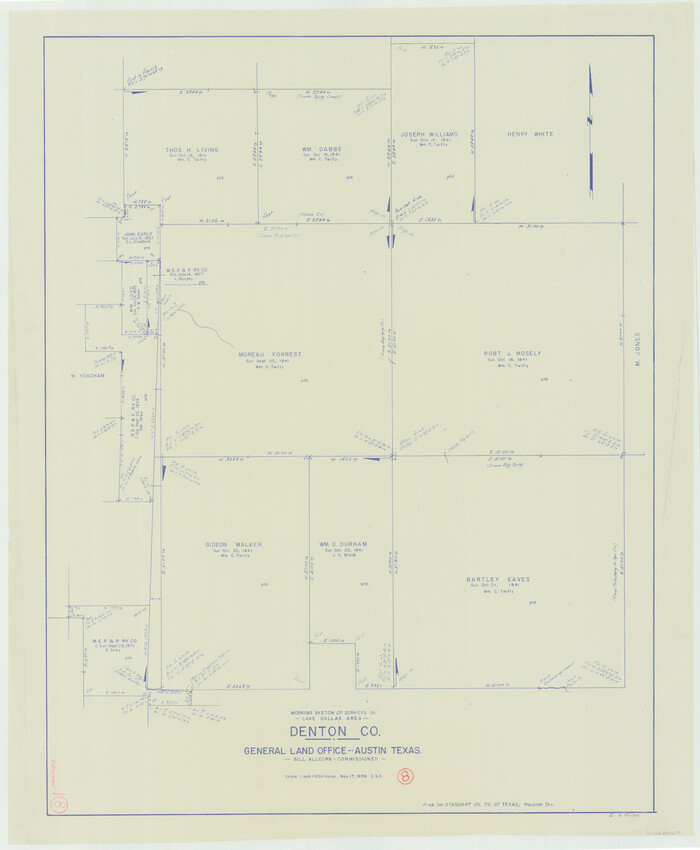

Print $20.00
- Digital $50.00
Denton County Working Sketch 8
1959
Size 37.4 x 30.8 inches
Map/Doc 68613
Galveston County Working Sketch 10


Print $40.00
- Digital $50.00
Galveston County Working Sketch 10
1967
Size 24.7 x 119.8 inches
Map/Doc 69347
North Part Brewster Co.


Print $40.00
- Digital $50.00
North Part Brewster Co.
1914
Size 40.1 x 48.6 inches
Map/Doc 66731
Travis County Sketch File 76


Print $68.00
- Digital $50.00
Travis County Sketch File 76
1996
Size 11.4 x 8.9 inches
Map/Doc 38474
Flight Mission No. BRE-1P, Frame 69, Nueces County
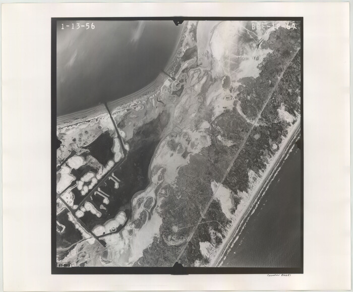

Print $20.00
- Digital $50.00
Flight Mission No. BRE-1P, Frame 69, Nueces County
1956
Size 18.3 x 22.1 inches
Map/Doc 86651
Flight Mission No. DAG-26K, Frame 57, Matagorda County
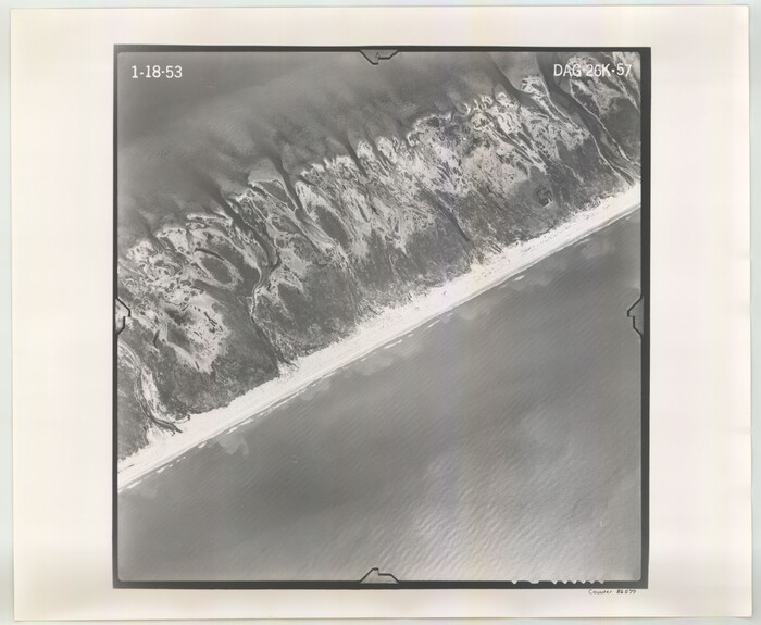

Print $20.00
- Digital $50.00
Flight Mission No. DAG-26K, Frame 57, Matagorda County
1953
Size 18.5 x 22.6 inches
Map/Doc 86577
.tif.jpg)

