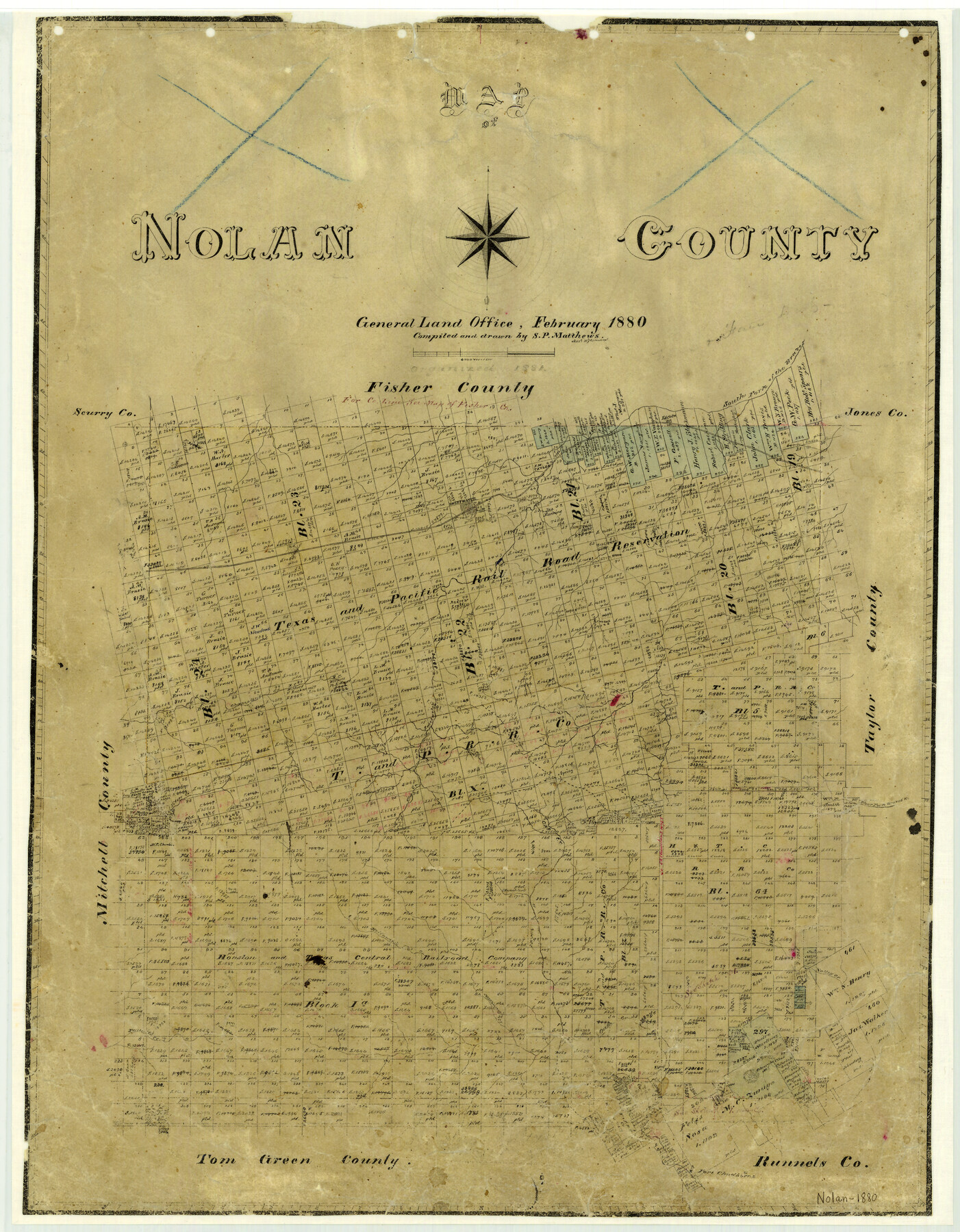
Nolan County
-
Map/Doc
3917
-
Collection
General Map Collection
-
Object Dates
1880 (Creation Date)
-
People and Organizations
Texas General Land Office (Publisher)
Sam. P. Matthews (Compiler)
Sam. P. Matthews (Draftsman)
-
Counties
Nolan
-
Subjects
County
-
Height x Width
25.9 x 20.1 inches
65.8 x 51.1 cm
-
Features
Escota [sic]
South Fork of Brazos River
Sweetwater
Katula
Champlin's Creek
Sweetwater Creek
Clear Fork of Brazos River
Silver Creek
Valley Creek
McKinney's Creek
Hoffman's Creek
Fannie's Creek
Church Mountain
Fort Chadbourne
Elm Creek
Oak Creek
Part of: General Map Collection
Calhoun County Aerial Photograph Index Sheet 4

Print $20.00
- Digital $50.00
Calhoun County Aerial Photograph Index Sheet 4
1953
Size 24.2 x 19.7 inches
Map/Doc 87211
Dimmit County Working Sketch 48

Print $40.00
- Digital $50.00
Dimmit County Working Sketch 48
1980
Size 78.7 x 43.7 inches
Map/Doc 68709
Val Verde County Working Sketch Graphic Index, Sheet 1 (Sketches 1 to 25)

Print $20.00
- Digital $50.00
Val Verde County Working Sketch Graphic Index, Sheet 1 (Sketches 1 to 25)
1944
Size 40.4 x 36.5 inches
Map/Doc 76724
Flight Mission No. DIX-3P, Frame 133, Aransas County

Print $20.00
- Digital $50.00
Flight Mission No. DIX-3P, Frame 133, Aransas County
1956
Size 17.8 x 21.1 inches
Map/Doc 83763
Milam County Boundary File 5b

Print $20.00
- Digital $50.00
Milam County Boundary File 5b
Size 22.6 x 37.8 inches
Map/Doc 57239
Freestone County Sketch File 8

Print $4.00
- Digital $50.00
Freestone County Sketch File 8
1859
Size 5.8 x 8.1 inches
Map/Doc 23054

Menard County Sketch File 20

Print $8.00
- Digital $50.00
Menard County Sketch File 20
1911
Size 14.2 x 8.7 inches
Map/Doc 31548
Texas, Mexico and part of the United States compiled from the latest and best authorities

Print $20.00
- Digital $50.00
Texas, Mexico and part of the United States compiled from the latest and best authorities
1836
Size 9.1 x 11.0 inches
Map/Doc 95958
Gonzales County Working Sketch 3

Print $20.00
- Digital $50.00
Gonzales County Working Sketch 3
1943
Size 37.8 x 41.5 inches
Map/Doc 63218
Borden County Boundary File 3

Print $62.00
- Digital $50.00
Borden County Boundary File 3
1908
Size 28.7 x 82.9 inches
Map/Doc 1695
Pecos County Rolled Sketch 173

Print $20.00
- Digital $50.00
Pecos County Rolled Sketch 173
Size 32.2 x 35.6 inches
Map/Doc 9751
You may also like
Blanco County Sketch File 1

Print $4.00
- Digital $50.00
Blanco County Sketch File 1
1874
Size 7.8 x 7.9 inches
Map/Doc 14578
Flight Mission No. DCL-6C, Frame 93, Kenedy County

Print $20.00
- Digital $50.00
Flight Mission No. DCL-6C, Frame 93, Kenedy County
1943
Size 18.6 x 22.3 inches
Map/Doc 85923
Webb County Rolled Sketch 58

Print $40.00
- Digital $50.00
Webb County Rolled Sketch 58
1946
Size 36.7 x 53.4 inches
Map/Doc 10127
Navarro County Sketch File 17

Print $4.00
- Digital $50.00
Navarro County Sketch File 17
Size 12.8 x 8.4 inches
Map/Doc 32333
Victoria County Sketch File 4

Print $7.00
- Digital $50.00
Victoria County Sketch File 4
1876
Size 10.1 x 8.2 inches
Map/Doc 39517
Flight Mission No. DAG-24K, Frame 42, Matagorda County

Print $20.00
- Digital $50.00
Flight Mission No. DAG-24K, Frame 42, Matagorda County
1953
Size 18.5 x 22.3 inches
Map/Doc 86529
[Part of Block GG and river sections 65-75]
![90469, [Part of Block GG and river sections 65-75], Twichell Survey Records](https://historictexasmaps.com/wmedia_w700/maps/90469-1.tif.jpg)
Print $20.00
- Digital $50.00
[Part of Block GG and river sections 65-75]
Size 21.9 x 20.2 inches
Map/Doc 90469
Van Zandt County Sketch File 32a

Print $4.00
- Digital $50.00
Van Zandt County Sketch File 32a
1860
Size 12.3 x 8.1 inches
Map/Doc 39467

Live Oak County Sketch File 6

Print $4.00
- Digital $50.00
Live Oak County Sketch File 6
1847
Size 9.9 x 7.8 inches
Map/Doc 30257
Map of North Alamosa Pasture

Print $20.00
- Digital $50.00
Map of North Alamosa Pasture
Size 17.7 x 15.7 inches
Map/Doc 91431
University Lands Blocks 1-13 & Block 58, Crockett, Reagan & Upton Counties

Print $20.00
- Digital $50.00
University Lands Blocks 1-13 & Block 58, Crockett, Reagan & Upton Counties
1936
Size 37.3 x 42.0 inches
Map/Doc 2445